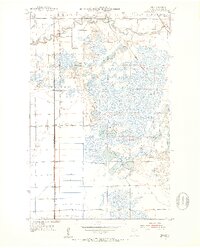
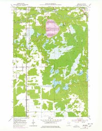
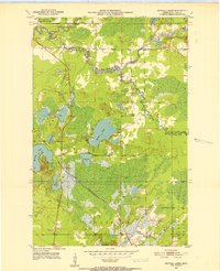
1951 Map of Zim
USGS Topo · Published 1953About this map
The St Louis River meanders through the northern reaches of this mid-century survey, defining a landscape shaped by both natural waterways and heavy industrial transport. Small settlements such as Zim, Forbes, and Fens are oriented along the rail corridors of the Duluth Missabe and Iron Range and the Duluth Winnipeg and Pacific railroads. These tracks were vital arteries for the region’s timber and mineral wealth, connecting remote hamlets to larger trade hubs. The terrain is a complex network of wetlands and small lakes, including Clover Lake and the interconnected Twin Lakes. Local history is preserved in features like the Forbes Cem and evidence of local industry at the Gravel Pits near Zim. To the northeast, the Fayal Township State Game Refuge provides a glimpse into the managed wilderness areas of the early 1950s.
Find a feature on this map
28 named features on this map. Tap any name to fly to it.
Don’t see what you’re looking for? This feature index may not catch every label — zoom into the map to look around manually.
Map Details
Editions of this 1951 Zim Map
5 editions found
Other maps of this area
1951 · Gilbert
USGS Topo · 1:24,000
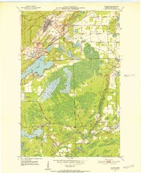
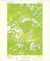
1951 · Eveleth
USGS Topo · 1:24,000
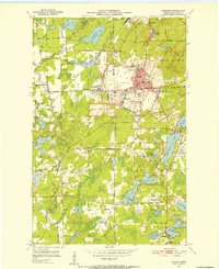
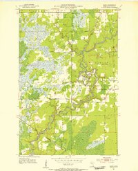
1951 · Kirk
USGS Topo · 1:24,000
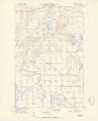
1951 · Central Lakes
USGS Topo · 1:24,000
1951 · Casco
USGS Topo · 1:24,000

1954 · Hibbing
USGS Topo · 1:250,000
1956 · Cotton
USGS Topo · 1:24,000

1957 · Hibbing
USGS Topo · 1:250,000

1958 · Hibbing
USGS Topo · 1:250,000
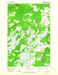
1963 · Meadowlands NW
USGS Topo · 1:24,000