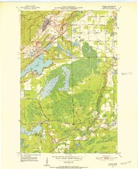
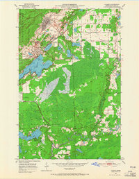
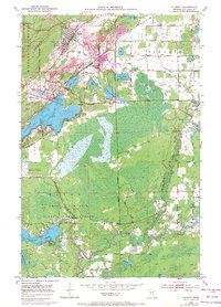
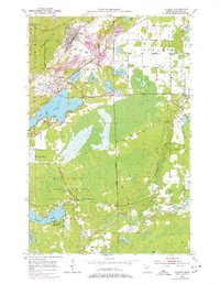
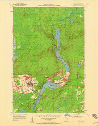
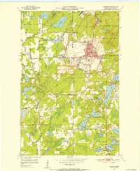
1951 Map of Gilbert
USGS Topo · Published 1952About this map
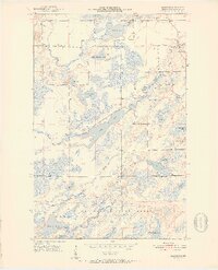
Industrial iron mining operations dominate the northern portion of this landscape, where the Gilbert Mine, Schley Mine, and Sparta-Mayta Mine sit adjacent to the settlements of Gilbert and Sparta. These open-pit sites are deeply integrated with the Duluth Missabe and Iron Range railroad network, which weaves through the Laurentian divide and the slopes of Missabe Mountain. South of the mining zone, the terrain shifts toward a recreational and natural landscape protected by a State Game Refuge within Fayal Township. The area is densely pocketed with glacial water bodies including Ely Lake and Esquagama Lake, while the St Louis River winds through the southeastern corner. Notable local landmarks such as the Eveleth Municipal Airport and Eveleth Scout Camp reflect the mid-century development of this Mesabi Range community during a peak era of domestic steel production.
Find a feature on this map
33 named features on this map. Tap any name to fly to it.
Don’t see what you’re looking for? This feature index may not catch every label — zoom into the map to look around manually.
Map Details
Editions of this 1951 Gilbert Map
4 editions found
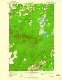
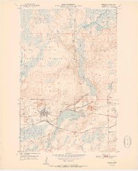
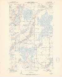
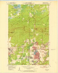
Other maps of this area
1950 · Biwabik
USGS Topo · 1:24,000
1950 · Mc Kinley
USGS Topo · 1:24,000
1951 · Biwabik
USGS Topo · 1:24,000

1951 · Mc Kinley
USGS Topo · 1:24,000
1951 · Palo
USGS Topo · 1:24,000
1951 · Eveleth
USGS Topo · 1:24,000
1951 · Virginia
USGS Topo · 1:24,000
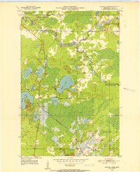
1951 · Central Lakes
USGS Topo · 1:24,000
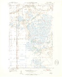
1951 · Zim
USGS Topo · 1:24,000
1951 · Makinen
USGS Topo · 1:24,000