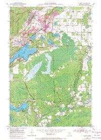
1951 Map of Gilbert
USGS Topo · Published 1971About this map
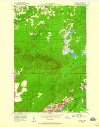
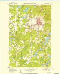
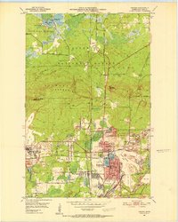
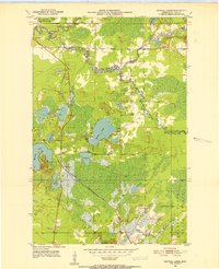
The Mesabi Range industrial landscape is on full display here, dominated by the extensive open-pit operations of the Gilbert Mine, Schley Mine, and Genoa Mine. These massive excavations sit alongside the settlements of Gilbert and Sparta, illustrating the close proximity of residential life to the region's heavy iron mining. The map reflects a mid-century era of infrastructure expansion, showing the Eveleth-Virginia Municipal Airport and the specialized Sky Harbor Seaplane Base on the northern shore of Ely Lake. South of the industrial activity, the terrain shifts into the State Game Refuge within Fayal Township, where the Embarrass River meanders through a landscape of wetlands and smaller lakes like Heikkala Lake and Pleasant Lake. This document effectively captures the dual nature of St. Louis County, balancing intense resource extraction with vast protected natural areas and developing aviation hubs.
Find a feature on this map
30 named features on this map. Tap any name to fly to it.
Don’t see what you’re looking for? This feature index may not catch every label — zoom into the map to look around manually.
Map Details
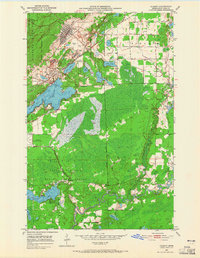
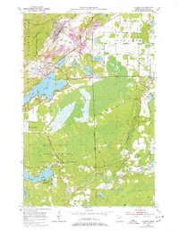
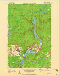
Editions of this 1951 Gilbert Map
4 editions found
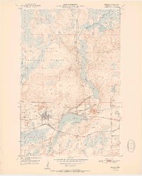
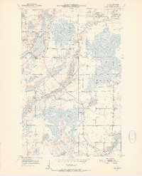
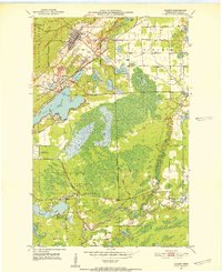
Other maps of this area
1950 · Biwabik
USGS Topo · 1:24,000
1950 · Mc Kinley
USGS Topo · 1:24,000
1951 · Biwabik
USGS Topo · 1:24,000

1951 · Mc Kinley
USGS Topo · 1:24,000
1951 · Palo
USGS Topo · 1:24,000
1951 · Gilbert
USGS Topo · 1:24,000
1951 · Eveleth
USGS Topo · 1:24,000
1951 · Virginia
USGS Topo · 1:24,000
1951 · Central Lakes
USGS Topo · 1:24,000
1951 · Zim
USGS Topo · 1:24,000