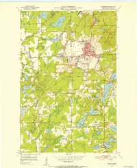
1951 Map of Zim
USGS Topo · Published 1971About this map
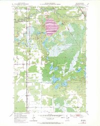
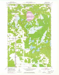
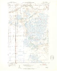
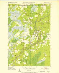
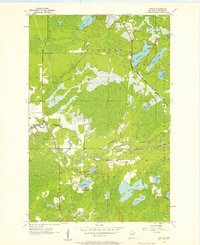
The St Louis River winds through this section of the Iron Range, defining a landscape shaped by both glacial lakes and industrial enterprise. Mining's footprint is evident in the northern reaches, where a massive Tailings Pond and various Gravel Pits sit near the settlement of Forbes. Local life centers on the rail corridors, with Zim and Fens established along the Duluth Missabe and Iron Range tracks, while the Duluth Winnipeg and Pacific cuts through the eastern marshlands.
Find a feature on this map
26 named features on this map. Tap any name to fly to it.
Don’t see what you’re looking for? This feature index may not catch every label — zoom into the map to look around manually.
Map Details
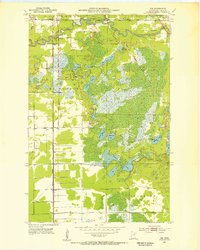
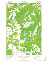
Editions of this 1951 Zim Map
5 editions found
Other maps of this area
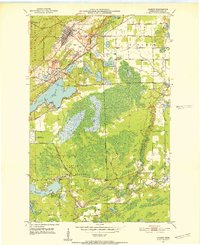
1951 · Gilbert
USGS Topo · 1:24,000
1951 · Eveleth
USGS Topo · 1:24,000
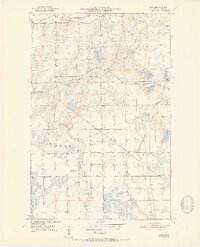
1951 · Kirk
USGS Topo · 1:24,000
1951 · Central Lakes
USGS Topo · 1:24,000
1951 · Zim
USGS Topo · 1:24,000
1951 · Casco
USGS Topo · 1:24,000

1954 · Hibbing
USGS Topo · 1:250,000
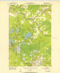
1956 · Cotton
USGS Topo · 1:24,000

1957 · Hibbing
USGS Topo · 1:250,000

1958 · Hibbing
USGS Topo · 1:250,000