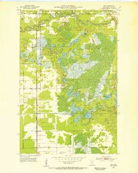
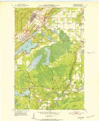
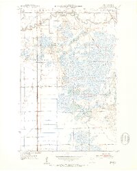
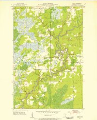
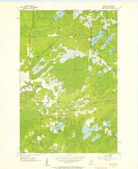
1951 Map of Zim
USGS Topo · Published 1953About this map
The St Louis River meanders through the northern reaches of this landscape, reflecting a mid-century era defined by both rail transportation and vast glacial wetlands. Small settlements like Zim, Fens, and Peary are situated along two major rail corridors: the Duluth Missabe and Iron Range and the Duluth Winnipeg and Pacific. These lines provided the essential infrastructure for the region's industry, connecting the iron range to lake ports.
Find a feature on this map
24 named features on this map. Tap any name to fly to it.
Don’t see what you’re looking for? This feature index may not catch every label — zoom into the map to look around manually.
Map Details
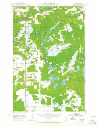
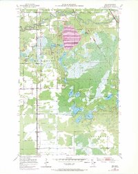
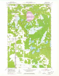
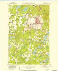
Editions of this 1951 Zim Map
5 editions found
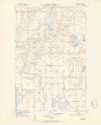
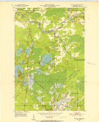
Other maps of this area
1951 · Gilbert
USGS Topo · 1:24,000
1951 · Eveleth
USGS Topo · 1:24,000
1951 · Kirk
USGS Topo · 1:24,000
1951 · Central Lakes
USGS Topo · 1:24,000
1951 · Zim
USGS Topo · 1:24,000
1951 · Casco
USGS Topo · 1:24,000

1954 · Hibbing
USGS Topo · 1:250,000
1956 · Cotton
USGS Topo · 1:24,000

1957 · Hibbing
USGS Topo · 1:250,000

1958 · Hibbing
USGS Topo · 1:250,000