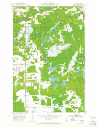
1951 Map of Zim
USGS Topo · Published 1965About this map
The St Louis River winds through the northern portion of this St. Louis County landscape, marking a terrain defined by extensive wetlands and glacial lakes. In the early 1950s, the small settlements of Zim and Fens served as key points along the north-south corridor of the Duluth Missabe and Iron Range railroad, which provided a vital transportation link through the boggy lowlands of McDavitt and Ellsburg townships.
Find a feature on this map
24 named features on this map. Tap any name to fly to it.
Don’t see what you’re looking for? This feature index may not catch every label — zoom into the map to look around manually.
Map Details
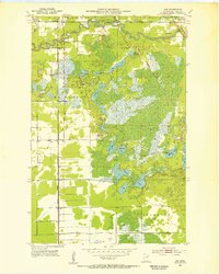
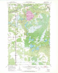
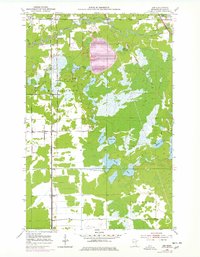
Editions of this 1951 Zim Map
5 editions found
Other maps of this area

1951 · Gilbert
USGS Topo · 1:24,000

1951 · Eveleth
USGS Topo · 1:24,000

1951 · Kirk
USGS Topo · 1:24,000

1951 · Central Lakes
USGS Topo · 1:24,000

1951 · Zim
USGS Topo · 1:24,000

1951 · Casco
USGS Topo · 1:24,000

1954 · Hibbing
USGS Topo · 1:250,000

1956 · Cotton
USGS Topo · 1:24,000

1957 · Hibbing
USGS Topo · 1:250,000

1958 · Hibbing
USGS Topo · 1:250,000