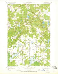
1951 Map of Kirk
USGS Topo · Published 1968About this map
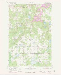
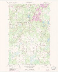
The Duluth Missabe and Iron Range and Great Northern railroads cross this 1950s landscape, reflecting the heavy industrial pulse of the Minnesota Iron Range. The map details a transition between the northern mining influence of Buhl and the agricultural and residential pockets of Cherry and Clinton townships. These iron-ore transportation corridors dictated the growth of small railroad settlements like Sherwood and Kirk, which served as vital transit points.
Find a feature on this map
24 named features on this map. Tap any name to fly to it.
Don’t see what you’re looking for? This feature index may not catch every label — zoom into the map to look around manually.
Map Details
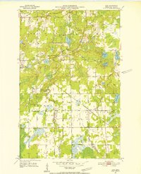
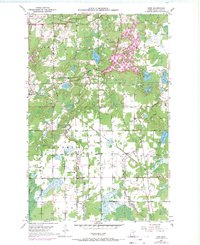
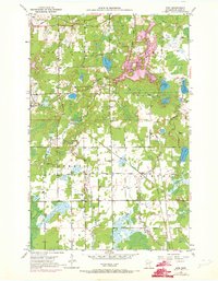
Editions of this 1951 Kirk Map
7 editions found
Other maps of this area

1951 · Eveleth
USGS Topo · 1:24,000

1951 · Virginia
USGS Topo · 1:24,000

1951 · Kinney
USGS Topo · 1:24,000

1951 · Kirk
USGS Topo · 1:24,000

1951 · Zim
USGS Topo · 1:24,000

1951 · Casco
USGS Topo · 1:24,000

1951 · Buhl
USGS Topo · 1:24,000

1952 · Little Swan
USGS Topo · 1:24,000

1954 · Hibbing
USGS Topo · 1:250,000

1955 · Dewey Lake SE
USGS Topo · 1:24,000