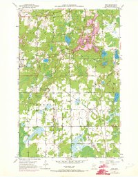
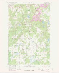
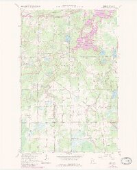
1951 Map of Kirk
USGS Topo · Published 1973About this map
Industrial and rural development intersect in this Mesabi Range landscape, where the Duluth Missabe and Iron Range and Burlington Northern railroads cut through the timber and wetlands of central St. Louis County. At the heart of the area, the settlements of Cherry and Kirk are defined by a network of local institutions, including School No 96, the Bethel Ch, and the adjacent Bethel Cem.
Find a feature on this map
33 named features on this map. Tap any name to fly to it.
Don’t see what you’re looking for? This feature index may not catch every label — zoom into the map to look around manually.
Map Details
Editions of this 1951 Kirk Map
7 editions found
Other maps of this area

1951 · Eveleth
USGS Topo · 1:24,000

1951 · Virginia
USGS Topo · 1:24,000

1951 · Kinney
USGS Topo · 1:24,000

1951 · Kirk
USGS Topo · 1:24,000

1951 · Zim
USGS Topo · 1:24,000

1951 · Casco
USGS Topo · 1:24,000

1951 · Buhl
USGS Topo · 1:24,000

1952 · Little Swan
USGS Topo · 1:24,000

1954 · Hibbing
USGS Topo · 1:250,000

1955 · Dewey Lake SE
USGS Topo · 1:24,000