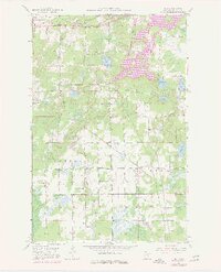
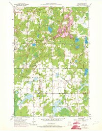
1951 Map of Kirk
USGS Topo · Published 1977About this map
Burlington Northern and Duluth Missabe and Iron Range railroad lines cross this section of the Mesabi Range, illustrating the industrial infrastructure required for northern Minnesota's mid-century iron production. The landscape is defined by the heavy foot-print of extraction, most notably the prominent Mine Dump near Buhl, alongside the more rural community developments of Cherry and Clinton. Local civic life is evidenced by the Bethel Ch and Bethel Cem, as well as School No 96, which served the scattered families of the Great Scott and Nichols districts.
Find a feature on this map
25 named features on this map. Tap any name to fly to it.
Don’t see what you’re looking for? This feature index may not catch every label — zoom into the map to look around manually.
Map Details
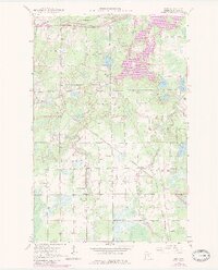
Editions of this 1951 Kirk Map
7 editions found
Other maps of this area

1951 · Eveleth
USGS Topo · 1:24,000

1951 · Virginia
USGS Topo · 1:24,000

1951 · Kinney
USGS Topo · 1:24,000

1951 · Kirk
USGS Topo · 1:24,000

1951 · Zim
USGS Topo · 1:24,000

1951 · Casco
USGS Topo · 1:24,000

1951 · Buhl
USGS Topo · 1:24,000

1952 · Little Swan
USGS Topo · 1:24,000

1954 · Hibbing
USGS Topo · 1:250,000

1955 · Dewey Lake SE
USGS Topo · 1:24,000