Old Maps of Ely, Minnesota for Hiking & Exploration
Hike through history with 19 historic maps of Ely. Explore old trails, ghost towns, and forgotten backroads — perfect for outdoor adventurers and local explorers.
- Rediscover forgotten places: Map out old mining camps, roads, and footpaths that no longer exist on modern maps.
- Layer with modern tools: Combine with LiDAR or satellite views to plan hikes through historical terrain.
- Made for exploration: Popular among hikers, overlanders, and local history lovers.
Use these maps to find adventure and explore the hidden past of Ely.
Ely, MN maps
(19)- 1933 Map of Ely, 1961 Print
 1933 Ely1961 Print · USGSThe iron-rich Vermilion Range comes alive in the early 1930s, showing the intersection of heavy industry and the Northwoods wilderness. Genealogists and historians can trace the foundations of Ely and Winton, including the Pioneer Mines and the Halfway CCC Camp.
 - 1939 Map of Ely
 1939 Ely1939 Print · USGSEly and the surrounding Iron Range were dominated by heavy industry and woodland conservation in the years before the war. Genealogists and historians can locate specific sites like Pioneer Mines, the Halfway CCC Camp, and the White Iron Sch.3 unique versions available
 - 1954 Map of Two Harbors, 1964 Print
 1954 Two Harbors1964 Print · USGSThe Minnesota North Shore and Superior National Forest are shown here in the mid-fifties, just as the taconite industry was reshaping the coast. Genealogists and historians can trace the rail lines of the Duluth Missabe and Iron Range or locate remote outposts like Sawbill Landing and Section Thirty.2 unique versions available
 - 1957 Map of Two Harbors
 1957 Two Harbors1957 Print · USGSMinnesota's North Shore and the Arrowhead region are shown here in the mid-fifties as the taconite industry and cold war defense shaped the landscape. Researchers can trace the Duluth Missabe and Iron Range railroad, locate the Split Rock Light, and explore the iron-mining era at Taconite.
 - 1958 Map of Two Harbors
 1958 Two Harbors1958 Print · USGSThe North Shore and Arrowhead region of Minnesota are captured in the 1950s as iron ore shipping and wilderness preservation shaped the land. Researchers can trace the Duluth Missabe and Iron Range RR, find maritime landmarks like Split Rock Light, and locate remote settlements from Babbitt to Grand Marais.
 - 1964 Map of Two Harbors
 1964 Two Harbors1964 Print · USGSThe North Shore of Lake Superior is captured here during the mid-1950s, a time of significant industrial mining growth and emerging tourism. Genealogists and historians can trace the rail lines of the Duluth Missabe and Iron Range and locate landmarks like Split Rock Light and the U S Air Force Radar Station.
 - 1965 Map of Shagawa Lake, 1967 Print
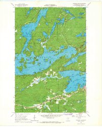 1965 Shagawa Lake1967 Print · USGSThe Iron Range meets the Boundary Waters in the 1960s, showing the town of Ely surrounded by a labyrinth of islands and forests. You can trace the Duluth Missabe and Iron Range rail line past local sites like Semer Park and Longstorff Bay.3 unique versions available
 - 1965 Map of Ely, 1967 Print
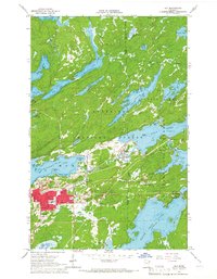 1965 Ely1967 Print · USGSEly and Winton are captured in the mid-sixties as they balanced a legacy of iron mining with their growing status as wilderness gateways. Researchers can trace the Duluth Missabe and Iron Range rail line, locate the Pioneer Mine, or find local landmarks like the Lincoln Sch and Ely Cem.3 unique versions available
 - 1994 Map of Ely
 1994 Ely1994 Print · USGSEly and the surrounding Iron Range country are shown here in the mid-1990s, where mining operations meet the edge of the great northern wilderness. Researchers can trace the development of Babbitt, locate the Mine sites, or explore the vast lake networks of the Boundary Waters Canoe Area Wilderness.
 - 2011 Map of Shagawa Lake, 2011 Print
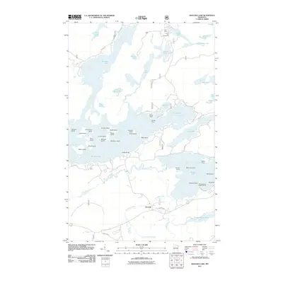 2011 Shagawa Lake2011 Print · USGSThe island-studded waters of the Boundary Waters vicinity are captured here in the early twenty-first century. Genealogists and local historians can trace family-named landmarks like Brownell Island or locate the Shagawa Lake Seaplane Base and the Pioneer Tailings Basin.
 - 2011 Map of Ely, 2011 Print
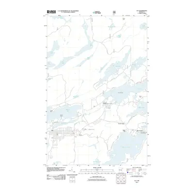 2011 Ely2011 Print · USGSMinnesota's Iron Range meets the edge of the wilderness in this decade, showing the lake-heavy landscape around Ely and Winton. Researchers can trace mining history at Pioneer Mine or explore settlement hubs like Section Thirty and the Winton Post Office.
 - 2013 Map of Shagawa Lake, 2013 Print
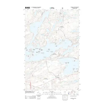 2013 Shagawa Lake2013 Print · USGSThe lake country near Ely is shown here in the early twenty-first century, just as the industrial and recreational landscapes of the Iron Range continue to evolve. Genealogists and local historians can trace the sites of Pioneer Tailings Basin, the settlement of Burntside, and the many islands of Burntside Lake.
 - 2013 Map of Ely, 2013 Print
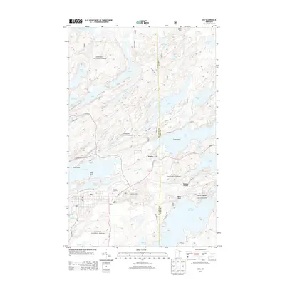 2013 Ely2013 Print · USGSThe Iron Range meets the northern lake country in this recent look at Ely and its surrounding wilderness. Genealogists and researchers can trace local landmarks like Ely Cemetery, the settlement of Winton, and the storied waters of Miners Lake.
 - 2016 Map of Ely, 2016 Print
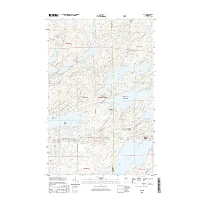 2016 Ely2016 Print · USGSThe Iron Range meets the Boundary Waters in this mid-2010s study of the area’s dense lake-and-trail systems. Genealogists and historians can locate Ely landmarks like the Ely Cem or trace old routes such as the Cloquet Line and Thirteen Corners Trail.
 - 2016 Map of Shagawa Lake, 2016 Print
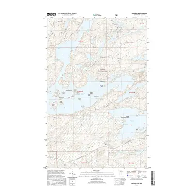 2016 Shagawa Lake2016 Print · USGSThe wilderness around Ely and the Superior National Forest comes into sharp focus here during the mid-2010s. Modern researchers can trace the intricate shorelines of Burntside Lake and Shagawa Lake while locating local landmarks like Old Baldy or the Pioneer Tailings Basin.
 - 2019 Map of Ely, 2019 Print
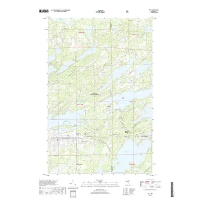 2019 Ely2019 Print · USGSEly and the surrounding Iron Range country are captured in this recent survey during a period of modern recreational growth. Genealogists and local historians can trace the streets of Winton, find Ely Cem, and locate the historic campus of Vermilion Community College.
 - 2019 Map of Shagawa Lake, 2019 Print
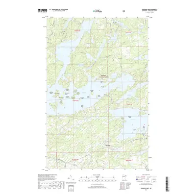 2019 Shagawa Lake2019 Print · USGSThe North Woods around Ely and the Burntside community are shown here in the late 2010s. Researchers can trace lakeside properties and portage points across Burntside Lake, Hoodoo Island, and the ridges of the Superior National Forest.
 - 2022 Map of Shagawa Lake, 2022 Print
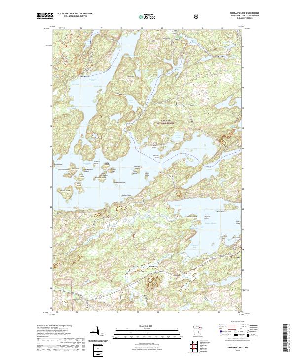 2022 Shagawa Lake2022 Print · USGSThe Iron Range wilderness near Ely is captured here in the early 2020s, showing a landscape defined by the sprawling, island-filled waters of Burntside Lake. Researchers can trace the layout of northern settlements like Burntside or locate specific island landmarks including Hoodoo Island and Blueberry Island.
 - 2022 Map of Ely, 2022 Print
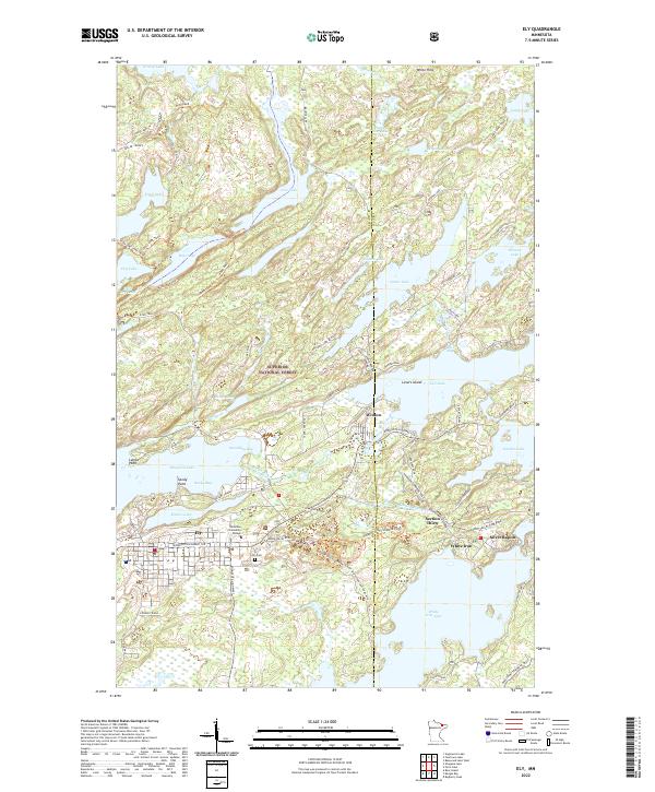 2022 Ely2022 Print · USGSNear the boundary of the Superior National Forest, this modern survey shows the area around Ely and Winton at the start of the 2020s. Genealogists and historians can trace local landmarks like Ely Cem, Vermilion Community College, and the small settlement at Section Thirty.
End of results
Showing maps 1-19 of 19
Top cities near Ely
Frequently asked questions
- What are the different types of historical maps available for Ely?
- What is the oldest map of Ely?
- Where can I purchase historical maps of Ely for my home or office?
- Where can I download high-res historical maps of Ely?
- Are there historical topographic maps available for Ely?
- Is there historical aerial imagery available for Ely?
- Where are historical maps of Ely sourced from?