Old Maps of Hornby, Minnesota for Metal Detecting
Plan your next treasure hunt with 13 historic maps of Hornby. Find old homesites, ghost towns, trails, and gathering spots that may be lost to time — perfect for identifying promising metal detecting locations.
- Locate forgotten sites: Uncover places like long-lost settlements, abandoned rail lines, or gathering spots.
- Plan better hunts: Use map overlays combined with LiDAR or satellite views to narrow in on historically rich areas.
- Made for detectorists: Thousands of hobbyists use these maps to discover relics, coins, and hidden history.
Use these historic maps to boost your research and find new opportunities beneath the surface of Hornby.
Hornby, MN maps
(13)- 1954 Map of Two Harbors, 1964 Print
 1954 Two Harbors1964 Print · USGSThe Minnesota North Shore and Superior National Forest are shown here in the mid-fifties, just as the taconite industry was reshaping the coast. Genealogists and historians can trace the rail lines of the Duluth Missabe and Iron Range or locate remote outposts like Sawbill Landing and Section Thirty.2 unique versions available
 - 1957 Map of Two Harbors
 1957 Two Harbors1957 Print · USGSMinnesota's North Shore and the Arrowhead region are shown here in the mid-fifties as the taconite industry and cold war defense shaped the landscape. Researchers can trace the Duluth Missabe and Iron Range railroad, locate the Split Rock Light, and explore the iron-mining era at Taconite.
 - 1957 Map of Brimson, 1958 Print
 1957 Brimson1958 Print · USGSNortheast Minnesota’s iron range and timber country are captured here in the late fifties, showing a landscape defined by rail and water. Genealogists and historians can trace old community sites like Toimi, Brimson, and Fairbanks alongside the Skibo Mill and Old Railroad Grade.3 unique versions available
 - 1958 Map of Two Harbors
 1958 Two Harbors1958 Print · USGSThe North Shore and Arrowhead region of Minnesota are captured in the 1950s as iron ore shipping and wilderness preservation shaped the land. Researchers can trace the Duluth Missabe and Iron Range RR, find maritime landmarks like Split Rock Light, and locate remote settlements from Babbitt to Grand Marais.
 - 1964 Map of Two Harbors
 1964 Two Harbors1964 Print · USGSThe North Shore of Lake Superior is captured here during the mid-1950s, a time of significant industrial mining growth and emerging tourism. Genealogists and historians can trace the rail lines of the Duluth Missabe and Iron Range and locate landmarks like Split Rock Light and the U S Air Force Radar Station.
 - 1976 Map of Brimson SW, 1979 Print
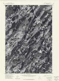 1976 Brimson SW1979 Print · USGSSt. Louis County is captured from above in the mid-1970s, revealing a landscape defined by forest and water. Researchers can trace the winding West Branch Cloquet River and the pristine shorelines of Wolf Lake.
 - 1976 Map of Two Harbors, 1994 Print
 1976 Two Harbors1994 Print · USGSThe North Shore of Lake Superior comes alive in this mid-seventies survey of the Minnesota timber and iron country. Trace the Duluth Missabe and Iron Range RR from Two Harbors past Split Rock Lighthouse State Park to the industrial port at Silver Bay.
 - 1982 Map of Fairbanks
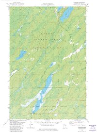 1982 Fairbanks1982 Print · USGSSt. Louis County is shown during the early 1980s as a landscape of timber and transit within the Superior National Forest. Researchers can trace the Duluth Missabe and Iron Range Railroad as it passes the small outposts of Fairbanks and Brimson.2 unique versions available
 - 2011 Map of Fairbanks, 2011 Print
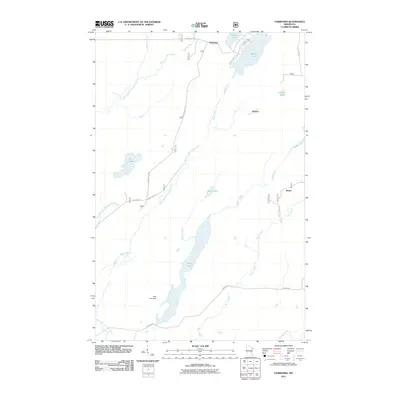 2011 Fairbanks2011 Print · USGSSaint Louis County's northern timberlands and lake country are captured here in the early twenty-first century. Genealogists and researchers can trace the roads and waterways connecting Fairbanks, Hornby, and Breda, alongside landmarks like Wolf Lake Dam.
 - 2013 Map of Fairbanks, 2013 Print
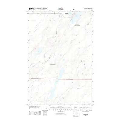 2013 Fairbanks2013 Print · USGSFairbanks and the surrounding timberlands of Saint Louis County are shown here during the early twenty-first century. Researchers can trace the layout of small settlements like Hornby and Breda or explore the waterways of Cadotte Lake and the Cloquet River.
 - 2016 Map of Fairbanks, 2016 Print
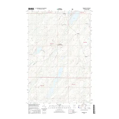 2016 Fairbanks2016 Print · USGSSaint Louis County's forested northern reaches are documented here in the mid-2010s within the Superior National Forest. Local researchers can trace the roads and water networks connecting Fairbanks, Hornby, and Breda near Wolf Lake.
 - 2019 Map of Fairbanks, 2019 Print
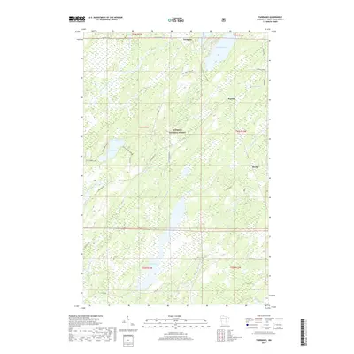 2019 Fairbanks2019 Print · USGSSaint Louis County is documented here in the late 2010s, showing a remote landscape of the Arrowhead Region intertwined with timber and water. You can trace early forest settlements like Fairbanks and Hornby alongside numerous lakes including Cadotte Lake and Wolf Lake.
 - 2022 Map of Fairbanks, 2022 Print
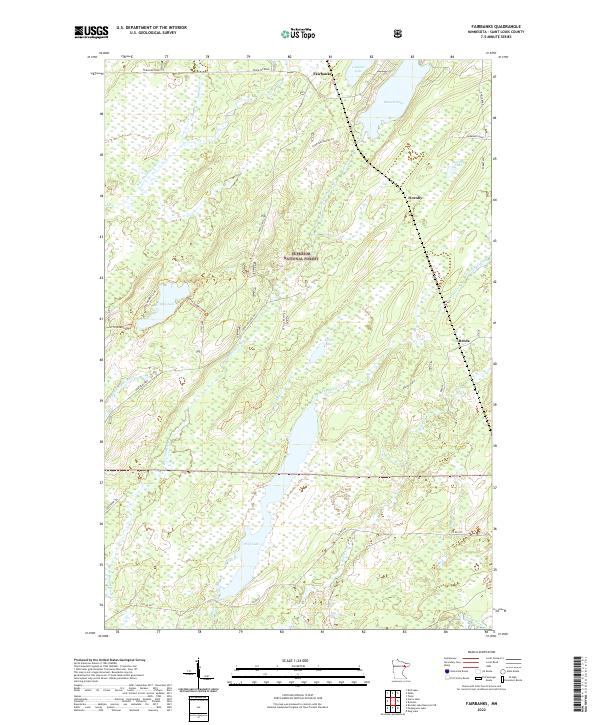 2022 Fairbanks2022 Print · USGSSaint Louis County in the early 2020s remains a landscape defined by the timber and water of the Superior National Forest. Researchers can trace old forest service roads and specialized spurs like Breda Spur H to reach remote points like Fairbanks, Hornby, or the shores of Wolf Lake.
End of results
Showing maps 1-13 of 13
Top cities near Hornby
Frequently asked questions
- What are the different types of historical maps available for Hornby?
- What is the oldest map of Hornby?
- Where can I purchase historical maps of Hornby for my home or office?
- Where can I download high-res historical maps of Hornby?
- Are there historical topographic maps available for Hornby?
- Is there historical aerial imagery available for Hornby?
- Where are historical maps of Hornby sourced from?