Old Maps of Kettle Falls, Minnesota for Metal Detecting
Plan your next treasure hunt with 11 historic maps of Kettle Falls. Find old homesites, ghost towns, trails, and gathering spots that may be lost to time — perfect for identifying promising metal detecting locations.
- Locate forgotten sites: Uncover places like long-lost settlements, abandoned rail lines, or gathering spots.
- Plan better hunts: Use map overlays combined with LiDAR or satellite views to narrow in on historically rich areas.
- Made for detectorists: Thousands of hobbyists use these maps to discover relics, coins, and hidden history.
Use these historic maps to boost your research and find new opportunities beneath the surface of Kettle Falls.
Kettle Falls, MN maps
(11)- 1954 Map of International Falls, 1980 Print
 1954 International Falls1980 Print · USGSThe Minnesota-Ontario borderlands come alive in this mid-century survey of the Rainy River region and the interconnected waterways that now form Voyageurs National Park. Genealogists and local historians can trace the rail-and-timber era through settlements like Littlefork, the Nett Lake Indian Reservation, and the Canadian National rail lines.
 - 1957 Map of International Falls
 1957 International Falls1957 Print · USGSThe Minnesota-Ontario borderlands come alive in the mid-fifties, showing the industrial nodes of International Falls and Fort Frances. Genealogists and historians can trace rail-tied settlements like Aylsworth and Littlefork or locate ancestral lands within the Nett Lake Indian Reservation.
 - 1958 Map of International Falls
 1958 International Falls1958 Print · USGSThe borderlands of northern Minnesota and Ontario are mapped here during the mid-fifties, centered on the river-and-rail hubs of the Northwoods. Researchers can trace the path of the Northern Pacific through Big Falls or locate early settlements like Ericsburg and Ranier.2 unique versions available
 - 1967 Map of Kettle Falls, 1970 Print
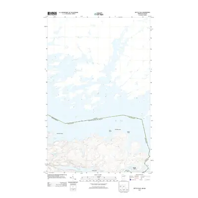
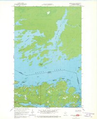 1967 Kettle Falls1970 Print · USGSThe international border through Rainy Lake is meticulously charted in the late sixties, showing the remote water-bound frontier of Northern Minnesota. Genealogists and historians can trace the isolated settlement at Kettle Falls and named landmarks like Surveyors Island and Moose Bay.3 unique versions available
 - 1978 Map of Brule Narrows, 1993 Print
 1978 Brule Narrows1993 Print · USGSThe international borderlands of St. Louis County were undergoing a transition into protected parkland in the late seventies. Boaters and historians can trace the complex island chains of Voyageurs National Park and the narrows at Saginaw Bay and Brule Narrows.
 - 1999 Map of Kettle Falls, 2003 Print
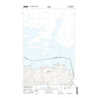
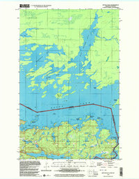 1999 Kettle Falls2003 Print · USGSNorthern Minnesota’s watery borderlands are mapped in detail during the late nineties, capturing the rugged lake systems of Voyageurs National Park. Trace historical routes through Friendly Passage or identify local landmarks like Kettle Falls and Surveyors Island.
 - 2011 Map of Kettle Falls, 2011 Print
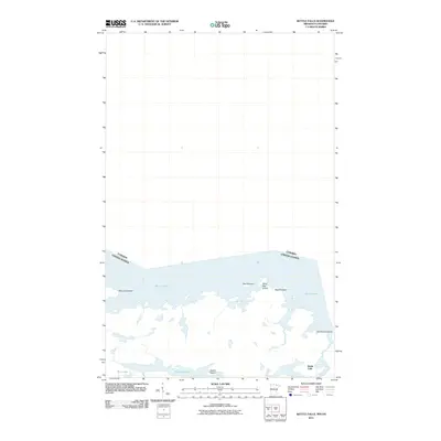 2011 Kettle Falls2011 Print · USGSCovers Kettle Falls, including Unorganized Rainy River, Saint Louis County, and other nearby areas
 - 2013 Map of Kettle Falls, 2013 Print
 2013 Kettle Falls2013 Print · USGSCovers Kettle Falls, including Unorganized Rainy River, Saint Louis County, and other nearby areas
 - 2016 Map of Kettle Falls, 2016 Print
 2016 Kettle Falls2016 Print · USGSCovers Kettle Falls, including Unorganized Rainy River, Saint Louis County, and other nearby areas
 - 2019 Map of Kettle Falls, 2019 Print
 2019 Kettle Falls2019 Print · USGSCovers Kettle Falls, including Unorganized Rainy River, Saint Louis County, and other nearby areas
 - 2022 Map of Kettle Falls, 2022 Print
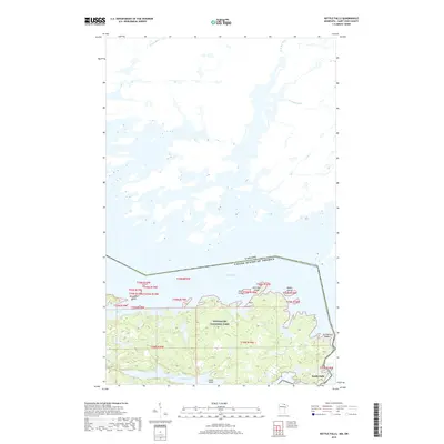
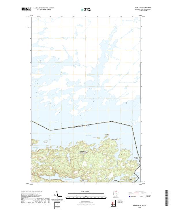 2022 Kettle Falls2022 Print · USGSThe international borderlands of Saint Louis County appear in this recent survey of the transition between Namakan Lake and Rainy Lake. Researchers can trace the water-bound frontier around Kettle Falls and explore the island chains of Voyageurs National Park, including Smith Island and Rabbit Island.
End of results
Showing maps 1-11 of 11
Frequently asked questions
- What are the different types of historical maps available for Kettle Falls?
- What is the oldest map of Kettle Falls?
- Where can I purchase historical maps of Kettle Falls for my home or office?
- Where can I download high-res historical maps of Kettle Falls?
- Are there historical topographic maps available for Kettle Falls?
- Is there historical aerial imagery available for Kettle Falls?
- Where are historical maps of Kettle Falls sourced from?