Old Maps of North Star Township, Minnesota for Hiking & Exploration
Hike through history with 22 historic maps of North Star Township. Explore old trails, ghost towns, and forgotten backroads — perfect for outdoor adventurers and local explorers.
- Rediscover forgotten places: Map out old mining camps, roads, and footpaths that no longer exist on modern maps.
- Layer with modern tools: Combine with LiDAR or satellite views to plan hikes through historical terrain.
- Made for exploration: Popular among hikers, overlanders, and local history lovers.
Use these maps to find adventure and explore the hidden past of North Star Township.
North Star Township, MN maps
(22)- 1954 Map of Barrs Lake, 1955 Print
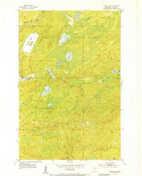 1954 Barrs Lake1955 Print · USGSSt. Louis County was a landscape of dense timber and glacial waters in the mid-fifties, just as rural patterns were changing. Genealogists and local historians can trace the upper Cloquet River and locate the site of School No 27 (Abandoned).4 unique versions available
 - 1954 Map of Thompson Lake, 1955 Print
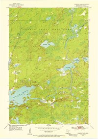 1954 Thompson Lake1955 Print · USGSSt. Louis County is defined by its deep woods and expansive river systems in the mid-1950s. Trace the winding course of the Cloquet River or locate family-named landmarks like Thompson Lake and the vast Island Lake Reservoir.3 unique versions available
 - 1954 Map of Two Harbors, 1964 Print
 1954 Two Harbors1964 Print · USGSThe Minnesota North Shore and Superior National Forest are shown here in the mid-fifties, just as the taconite industry was reshaping the coast. Genealogists and historians can trace the rail lines of the Duluth Missabe and Iron Range or locate remote outposts like Sawbill Landing and Section Thirty.2 unique versions available
 - 1954 Map of Hibbing, 1966 Print
 1954 Hibbing1966 Print · USGSNorthern Minnesota's Iron Range thrives during the mid-1960s, showing the industrial landscape between the Mesabi Range and the Mississippi River. Genealogists and historians can trace the rail lines of the Great Northern RR through mining hubs like Hibbing and Virginia.3 unique versions available
 - 1957 Map of Two Harbors
 1957 Two Harbors1957 Print · USGSMinnesota's North Shore and the Arrowhead region are shown here in the mid-fifties as the taconite industry and cold war defense shaped the landscape. Researchers can trace the Duluth Missabe and Iron Range railroad, locate the Split Rock Light, and explore the iron-mining era at Taconite.
 - 1957 Map of Hibbing
 1957 Hibbing1957 Print · USGSNorthern Minnesota's Iron Range is shown at its industrial peak in the mid-fifties, dominated by the massive iron pits and rail corridors of the Mesabi Range. Researchers can trace the rail networks of the Duluth Missabe and Iron Range and locate mining hubs like Hibbing, Virginia, and Bovey.
 - 1958 Map of Hibbing
 1958 Hibbing1958 Print · USGSThe Mesabi Iron Range reached its mid-century height during this era, defining the landscape between Grand Rapids and Virginia. Genealogists and historians can trace the mining-town networks of Hibbing and Chisholm or locate numerous iron mines and rail spurs.
 - 1958 Map of Two Harbors
 1958 Two Harbors1958 Print · USGSThe North Shore and Arrowhead region of Minnesota are captured in the 1950s as iron ore shipping and wilderness preservation shaped the land. Researchers can trace the Duluth Missabe and Iron Range RR, find maritime landmarks like Split Rock Light, and locate remote settlements from Babbitt to Grand Marais.
 - 1964 Map of Hibbing
 1964 Hibbing1964 Print · USGSNorthern Minnesota’s iron-rich corridor is captured here during a peak era of mid-century industrial activity. Researchers can trace the rail-to-mine connections through Mesabi Range towns like Hibbing and Virginia or locate lakefront settlements near Pokegama Lake.
 - 1964 Map of Two Harbors
 1964 Two Harbors1964 Print · USGSThe North Shore of Lake Superior is captured here during the mid-1950s, a time of significant industrial mining growth and emerging tourism. Genealogists and historians can trace the rail lines of the Duluth Missabe and Iron Range and locate landmarks like Split Rock Light and the U S Air Force Radar Station.
 - 1976 Map of Two Harbors, 1994 Print
 1976 Two Harbors1994 Print · USGSThe North Shore of Lake Superior comes alive in this mid-seventies survey of the Minnesota timber and iron country. Trace the Duluth Missabe and Iron Range RR from Two Harbors past Split Rock Lighthouse State Park to the industrial port at Silver Bay.
 - 1977 Map of Hibbing, 1994 Print
 1977 Hibbing1994 Print · USGSThe Iron Range of northern Minnesota comes into sharp focus during the late seventies, detailing the massive mining works and rail networks of St. Louis County. Researchers can trace family roots in Hibbing, Chisholm, and Virginia, or locate old post offices like Leoneth and Iron.
 - 2010 Map of Barrs Lake, 2010 Print
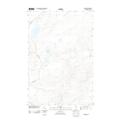
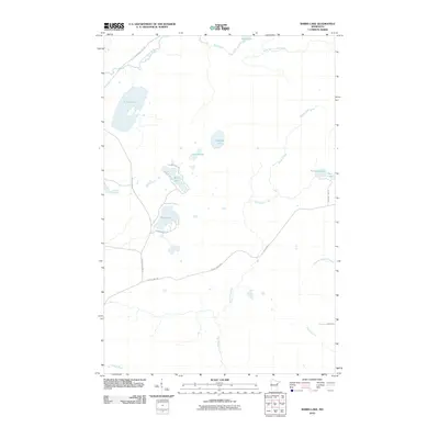 2010 Barrs Lake2010 Print · USGSCovers North Star Township, including Normanna Township, Alden Township, and other nearby areas
 - 2010 Map of Thompson Lake, 2010 Print
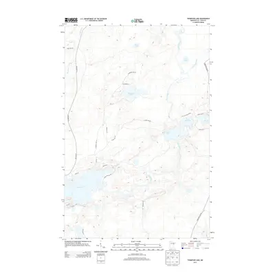
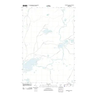 2010 Thompson Lake2010 Print · USGSCovers North Star Township, including Normanna Township, Gnesen Township, and other nearby areas
 - 2013 Map of Barrs Lake, 2013 Print
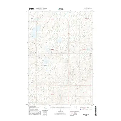
 2013 Barrs Lake2013 Print · USGSCovers North Star Township, including Normanna Township, Alden Township, and other nearby areas
 - 2013 Map of Thompson Lake, 2013 Print
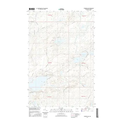
 2013 Thompson Lake2013 Print · USGSCovers North Star Township, including Normanna Township, Gnesen Township, and other nearby areas
 - 2016 Map of Barrs Lake, 2016 Print
 2016 Barrs Lake2016 Print · USGSCovers North Star Township, including Normanna Township, Alden Township, and other nearby areas
 - 2016 Map of Thompson Lake, 2016 Print
 2016 Thompson Lake2016 Print · USGSCovers North Star Township, including Normanna Township, Gnesen Township, and other nearby areas
 - 2019 Map of Thompson Lake, 2019 Print
 2019 Thompson Lake2019 Print · USGSCovers North Star Township, including Normanna Township, Gnesen Township, and other nearby areas
 - 2019 Map of Barrs Lake, 2019 Print
 2019 Barrs Lake2019 Print · USGSCovers North Star Township, including Normanna Township, Alden Township, and other nearby areas
 - 2022 Map of Barrs Lake, 2022 Print
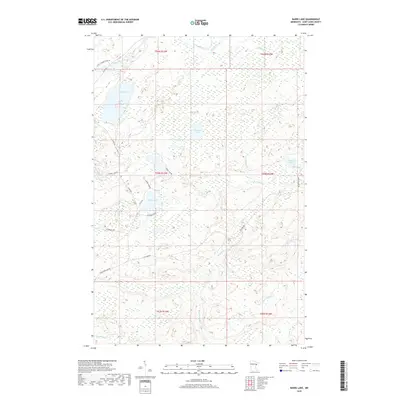
 2022 Barrs Lake2022 Print · USGSSt. Louis County's lake-rich backcountry is captured here in the early 2020s, showing a landscape of deep woods and interconnected wetlands. Researchers can trace rural access along Fox Farm Rd to remote waters like Esswhtar Lake and the headwaters of the French River.
 - 2022 Map of Thompson Lake, 2022 Print
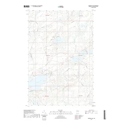
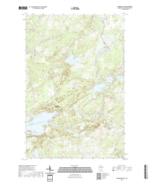 2022 Thompson Lake2022 Print · USGSSt. Louis County's lake-strewn landscape is documented here in the early twenty-first century, showing the intricate drainage of the Arrowhead Region. Researchers can trace the courses of the Cloquet River and Little Cloquet River alongside local landmarks like Thompson Lake and Alden Lake.
End of results
Showing maps 1-22 of 22
Top cities near North Star Township
Frequently asked questions
- What are the different types of historical maps available for North Star Township?
- What is the oldest map of North Star Township?
- Where can I purchase historical maps of North Star Township for my home or office?
- Where can I download high-res historical maps of North Star Township?
- Are there historical topographic maps available for North Star Township?
- Is there historical aerial imagery available for North Star Township?
- Where are historical maps of North Star Township sourced from?