2020s Maps of Santiago Township, Minnesota
Explore 4 historic maps of Santiago Township from the 2020s. These maps offer a rare glimpse into what life looked like during the 2020s — showing old roads, neighborhoods, homes, and landmarks that have changed or disappeared over time.
Whether you're researching your family's past, planning a metal detecting trip, or studying how Santiago Township's landscape evolved across the 2020s, these high-resolution maps are a powerful tool for exploring the history of this region.
- Focus on a specific era: All maps on this page are from the 2020s, giving you a focused view of this time period.
- See what’s changed: Compare century-old streets, trails, and buildings to today's modern landscape using overlays and satellite layers.
- Research with precision: Use these maps for genealogy, historical research, land use analysis, or educational projects.
- View, download, or print: Maps are fully viewable online in high resolution, and can be downloaded or printed for your own records.
Start exploring Santiago Township's history through authentic maps from the 2020s. This is your window into the past.
Santiago Township, MN maps
(4)- 2022 Map of Santiago, 2022 Print
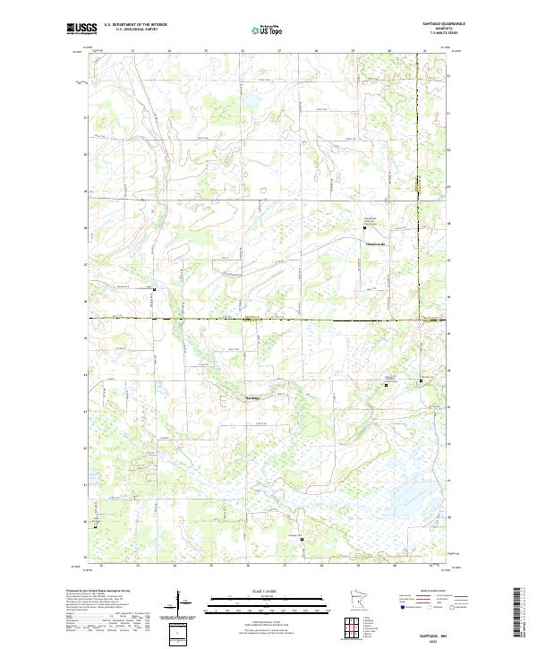 2022 Santiago2022 Print · USGSThe rural borderlands of Benton and Sherburne counties are documented here in the early twenty-first century. Researchers can trace family roots through several local landmarks like Santiago Cem, Saint Francis Cem, and Oak Hill Cem.
 - 2022 Map of Becker, 2022 Print
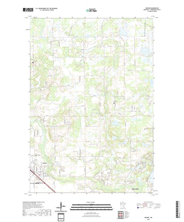 2022 Becker2022 Print · USGSThe riverfront communities of Becker and Big Lake are shown in this 2022 survey as they balance modern development with a complex wetland landscape. Researchers can trace local history through the Becker Cem, Danish Cem, and the winding course of the Elk River.
 - 2022 Map of Duelm, 2022 Print
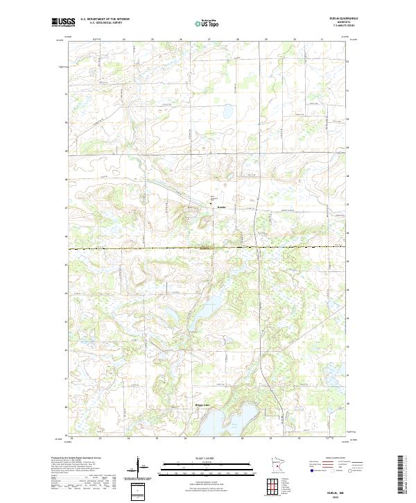 2022 Duelm2022 Print · USGSThe rural borderlands between Benton and Sherburne counties are documented here in the early twenty-first century. Genealogists and local historians can trace family plots at Saint Lawrence Cem or map the waterways around Duelm, Rice Lake, and Briggs Lake.
 - 2022 Map of Clear Lake, 2022 Print
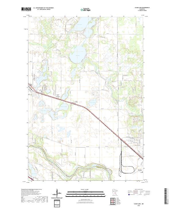 2022 Clear Lake2022 Print · USGSSherburne County at the start of the 2020s shows a landscape defined by its glacial lakes and the winding Mississippi River. Researchers can trace local heritage through sites like Saint Marcus Cem and Clear Lake Cem or locate the rural Leaders Clear Lake Airport.
End of results
Showing maps 1-4 of 4
Top cities near Santiago Township
- St. Cloud historical maps
- Elk River historical maps
- Otsego historical maps
- Monticello historical maps
- Big Lake historical maps
- Princeton historical maps
See more
Top neighborhoods of Santiago Township
Frequently asked questions
- What are the different types of historical maps available for Santiago Township?
- What is the oldest map of Santiago Township?
- Where can I purchase historical maps of Santiago Township for my home or office?
- Where can I download high-res historical maps of Santiago Township?
- Are there historical topographic maps available for Santiago Township?
- Is there historical aerial imagery available for Santiago Township?
- Where are historical maps of Santiago Township sourced from?