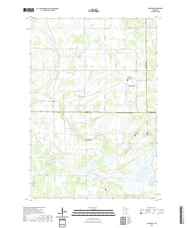
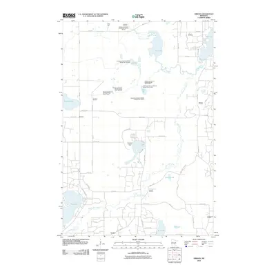
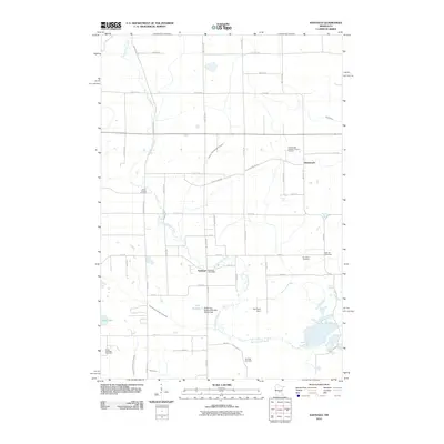
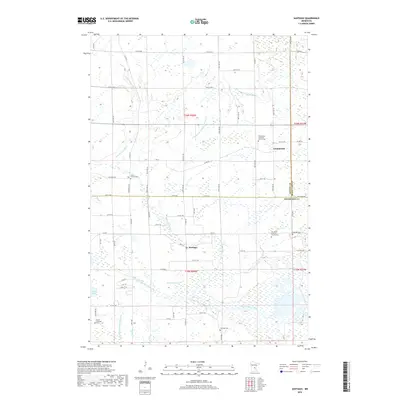
2022 Map of Santiago
USGS Topo · Published 2022About this map
The Saint Francis River winds through this central Minnesota landscape, defining the rural character of the borderlands between Benton, Sherburne, and Mille Lacs counties. Settlement is centered on the small village of Santiago and the community at Glendorado, where local life is anchored by several long-standing religious sites. The map is particularly rich in genealogical landmarks, featuring several burial grounds such as Glendorado Lutheran Church Cem and Our Savior Lutheran Church Cem.
Find a feature on this map
78 named features on this map. Tap any name to fly to it.
Don’t see what you’re looking for? This feature index may not catch every label — zoom into the map to look around manually.
Map Details
Editions of this 2022 Santiago Map
This is the sole edition of this map. No revisions or reprints were ever made.
Historical Maps of Santiago Through Time
20 maps found
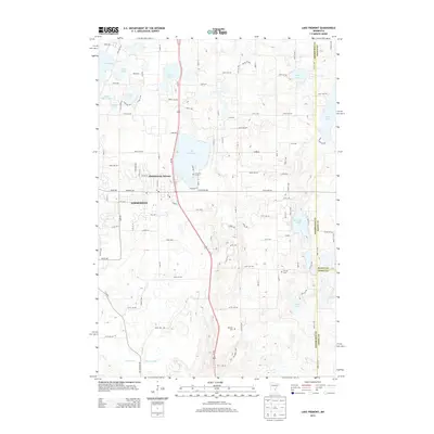
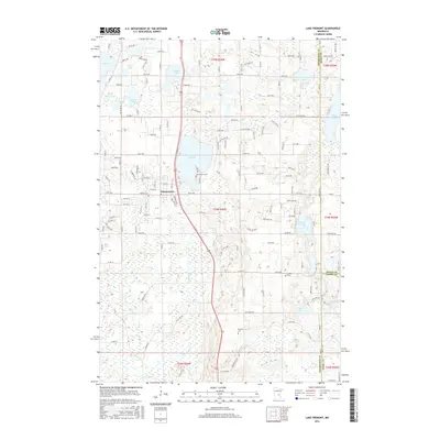
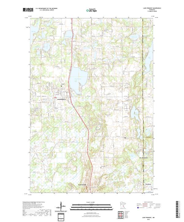
1961 Lake Fremont
Sherburne County, MN
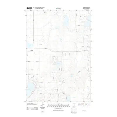
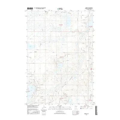
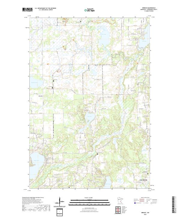
1961 Orrock
Sherburne County, MN
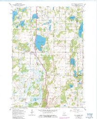
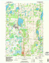
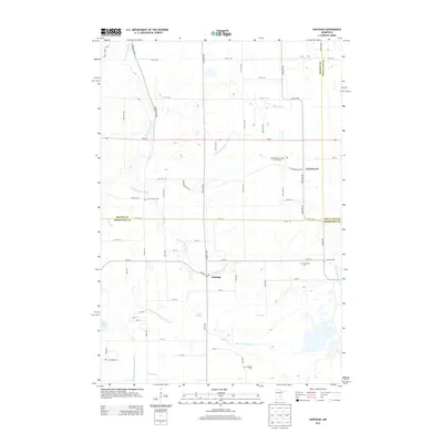
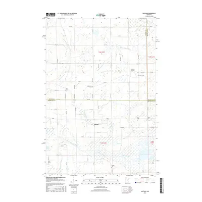
1968 Santiago
Sherburne County, MN
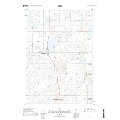
1991 Lake Fremont
Sherburne County, MN
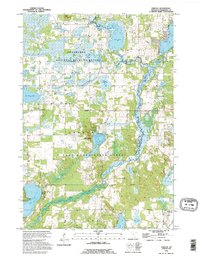
1991 Orrock
Sherburne County, MN
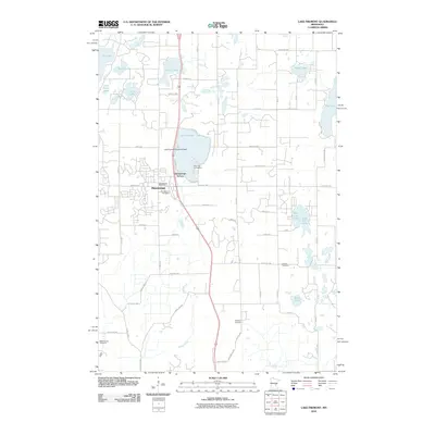
2010 Lake Fremont
Sherburne County, MN
2010 Orrock
Sherburne County, MN
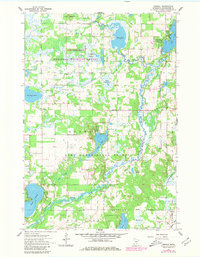
2010 Santiago
Sherburne County, MN
2013 Lake Fremont
Sherburne County, MN
2013 Orrock
Sherburne County, MN
2013 Santiago
Sherburne County, MN
2016 Lake Fremont
Sherburne County, MN
2016 Orrock
Sherburne County, MN
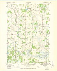
2016 Santiago
Sherburne County, MN
2019 Lake Fremont
Sherburne County, MN

2019 Orrock
Sherburne County, MN
2019 Santiago
Sherburne County, MN
2022 Lake Fremont
Sherburne County, MN
2022 Orrock
Sherburne County, MN
2022 Santiago
Sherburne County, MN
Featured Locations
- Blue Hill Township, MN
- Santiago Township, MN
- Glendorado Township, MN
- Santiago, Santiago Township
- Glendorado, Glendorado Township