
1961 Map of Clear Lake
USGS Topo · Published 1963About this map
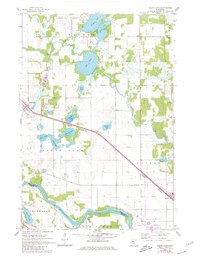
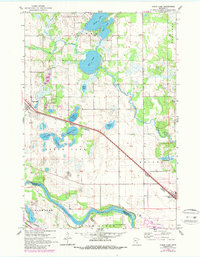
The Mississippi River and Elk River define the agricultural and lacustrine landscape of this 1961 survey, where the river corridors carve through the southern and eastern portions of the region. The settlement of Clear Lake serves as a central hub, situated along the Northern Great Pacific Northern rail line that cuts a straight diagonal across the terrain toward Becker. This corridor was essential for the movement of goods and passengers in the early 1960s, connecting the small farmsteads and rural residences to larger markets.
Find a feature on this map
30 named features on this map. Tap any name to fly to it.
Don’t see what you’re looking for? This feature index may not catch every label — zoom into the map to look around manually.
Map Details
Editions of this 1961 Clear Lake Map
3 editions found
Other maps of this area

1950 · St. Cloud
USGS Topo · 1:62,500

1951 · Annandale
USGS Topo · 1:62,500

1953 · Saint Cloud
USGS Topo · 1:250,000

1953 · Stillwater
USGS Topo · 1:250,000

1955 · Stillwater
USGS Topo · 1:250,000

1957 · Saint Cloud
USGS Topo · 1:250,000

1958 · Stillwater
USGS Topo · 1:250,000

1958 · Saint Cloud
USGS Topo · 1:250,000

1961 · Silver Creek
USGS Topo · 1:24,000

1961 · Monticello
USGS Topo · 1:24,000