
1961 Map of Monticello
USGS Topo · Published 1963About this map
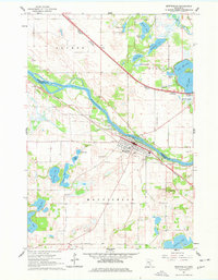
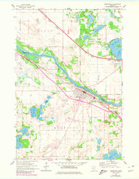
The Mississippi River defines the border between Sherburne and Wright counties in this early 1960s survey. The town of Monticello sits on the southern bank, characterized by a concentration of local infrastructure including the Hillside Cemetery, an Athletic Field, and a series of Gravel Pits that suggest active industry along the river bluffs. Across the water to the northeast, the community of Big Lake is surrounded by a dense network of glacial water bodies like Lake Mitchell and Big Lake, while the Great Northern Pacific Northern railroad cuts a straight diagonal through the landscape. This era shows the region before major suburban expansion, with smaller settlements like Salida and facilities like Flynn Airport connected by a maturing road network. Genealogists will find several distinct burial sites preserved here, from Riverside Cemetery near the river to the St Henrys Cemetery and Helm Cemetery.
Find a feature on this map
40 named features on this map. Tap any name to fly to it.
Don’t see what you’re looking for? This feature index may not catch every label — zoom into the map to look around manually.
Map Details
Editions of this 1961 Monticello Map
3 editions found
Other maps of this area

1909 · Rockford
USGS Topo · 1:62,500

1953 · Stillwater
USGS Topo · 1:250,000

1955 · Stillwater
USGS Topo · 1:250,000

1958 · Stillwater
USGS Topo · 1:250,000

1958 · Rockford
USGS Topo · 1:62,500

1958 · Buffalo
USGS Topo · 1:62,500

1961 · Clear Lake
USGS Topo · 1:24,000

1961 · Big Lake
USGS Topo · 1:24,000

1961 · Silver Creek
USGS Topo · 1:24,000

1961 · Orrock
USGS Topo · 1:24,000