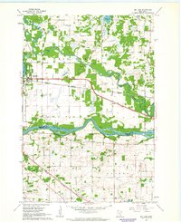
1961 Map of Big Lake
USGS Topo · Published 1963About this map
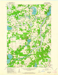
The Mississippi River forms a major geographic boundary in this early 1960s survey, separating Sherburne and Wright counties. The town of Big Lake serves as a hub for both transportation and recreation, situated between its namesake water body and Lake Mitchell. The landscape is defined by its glaciated hydrology, featuring numerous smaller basins such as Preusse Lake and Birch Lake, along with the winding course of the Elk River and Tibbits Brook.
Find a feature on this map
27 named features on this map. Tap any name to fly to it.
Don’t see what you’re looking for? This feature index may not catch every label — zoom into the map to look around manually.
Map Details
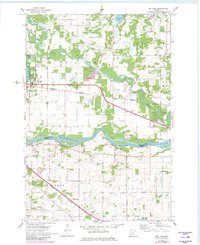
Editions of this 1961 Big Lake Map
2 editions found
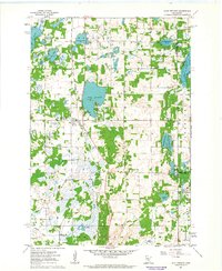
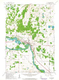
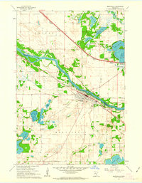
Other maps of this area

1909 · Rockford
USGS Topo · 1:62,500

1953 · Stillwater
USGS Topo · 1:250,000

1955 · Stillwater
USGS Topo · 1:250,000

1958 · Stillwater
USGS Topo · 1:250,000
1958 · Rockford
USGS Topo · 1:62,500
1958 · Buffalo
USGS Topo · 1:62,500
1961 · Orrock
USGS Topo · 1:24,000
1961 · Lake Fremont
USGS Topo · 1:24,000
1961 · Elk River
USGS Topo · 1:24,000
1961 · Monticello
USGS Topo · 1:24,000