
1961 Map of Elk River
USGS Topo · Published 1963About this map
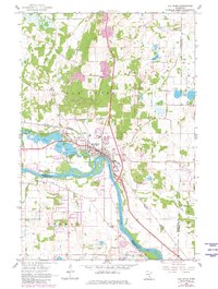
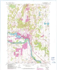
Elk River serves as the focal point of this early 1960s survey, situated at the strategic confluence where the namesake stream meets the Mississippi River. The town's industrial and infrastructure character is evident through the presence of a powerplant and sewage disposal facilities near the riverbanks. To the west, Orono Lake is flanked by the Orono Cem, while the northern landscape is dotted with numerous bodies of water including Eagle Lake, Little Twin Lake, and Twin Lakes.
Find a feature on this map
24 named features on this map. Tap any name to fly to it.
Don’t see what you’re looking for? This feature index may not catch every label — zoom into the map to look around manually.
Map Details
Editions of this 1961 Elk River Map
3 editions found
Other maps of this area

1902 · Anoka
USGS Topo · 1:62,500

1909 · Rockford
USGS Topo · 1:62,500

1916 · St. Francis
USGS Topo · 1:62,500

1919 · St. Francis
USGS Topo · 1:62,500

1953 · Stillwater
USGS Topo · 1:250,000

1955 · Anoka
USGS Topo · 1:24,000

1955 · Anoka
USGS Topo · 1:62,500

1955 · Stillwater
USGS Topo · 1:250,000

1958 · Stillwater
USGS Topo · 1:250,000

1958 · Rockford
USGS Topo · 1:62,500