
Loading...
Loading map...1961 Map of Elk River
USGS Topo · Published 1980About this map
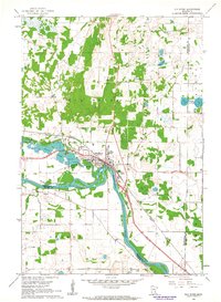
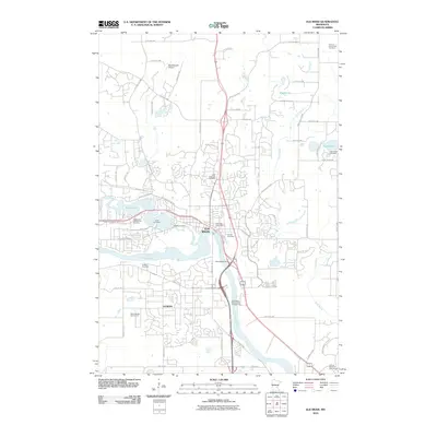
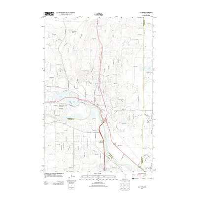
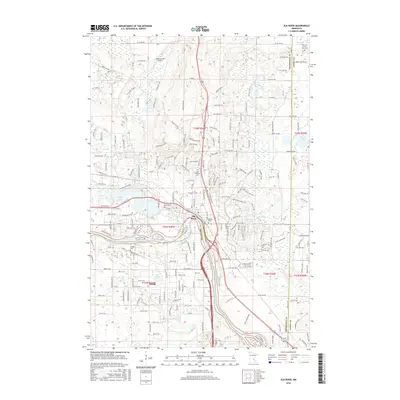
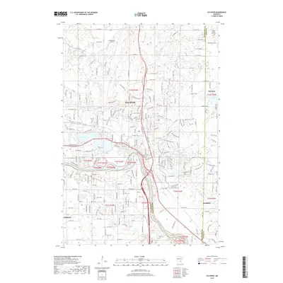
The confluence of the Mississippi River and the Elk River serves as the focal point for this 1961 survey, which was updated with photorevisions in 1980. The city of Elk River is positioned strategically along these waterways, showing a landscape transitioning between its industrial foundations and growing residential needs. Key infrastructure such as the Powerplant on the banks of Orono Lake and the Sewage Disposal facility near a Trailer Park reflect the mid-century development of the region.
Find a feature on this map
26 named features on this map. Tap any name to fly to it.
Don’t see what you’re looking for? This feature index may not catch every label — zoom into the map to look around manually.
Map Details
Date Portrayed1961
Date Published1980
PublisherU.S. Geological Survey
Map TypeTopographic
Scale1:24,000
Physical Dimensions21.53 x 27.23 inches
Editions of this 1961 Elk River Map
3 editions found

Historical Maps of Ramsey Through Time
7 maps found


Featured Locations
Source Details
SourceU.S. Geological Survey
CopyrightPublic Domain