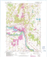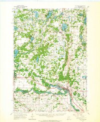
1961 Map of Elk River
USGS Topo · Published 1965About this map
The Mississippi River forms the southern boundary of this region, winding past the village of Elk River and the settlement of Otsego. To the north, the landscape is defined by the Sand Dunes State Forest and a high density of wetlands and lakes, including Orono Lake, Big Lake, and the expansive Lake Fremont (Zimmerman P.O.). This area shows a transition from the river-bottom agriculture and rail corridor to the more densely forested and lake-spotted terrain of the Fremont Wildlife Management Area.
Find a feature on this map
68 named features on this map. Tap any name to fly to it.
Don’t see what you’re looking for? This feature index may not catch every label — zoom into the map to look around manually.
Map Details
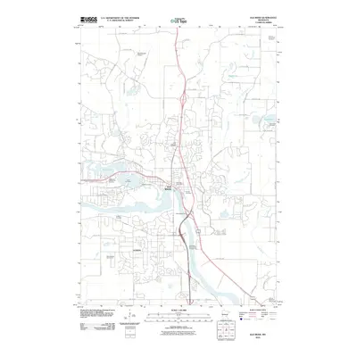
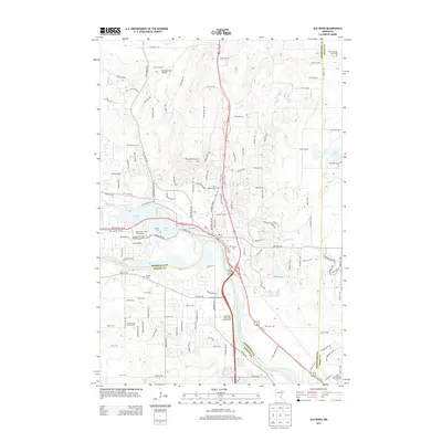
Editions of this 1961 Elk River Map
This is the sole edition of this map. No revisions or reprints were ever made.
Historical Maps of Ramsey Through Time
7 maps found