2020s Maps of Paynesville, Minnesota
Explore 4 historic maps of Paynesville from the 2020s. These maps offer a rare glimpse into what life looked like during the 2020s — showing old roads, neighborhoods, homes, and landmarks that have changed or disappeared over time.
Whether you're researching your family's past, planning a metal detecting trip, or studying how Paynesville's landscape evolved across the 2020s, these high-resolution maps are a powerful tool for exploring the history of this region.
- Focus on a specific era: All maps on this page are from the 2020s, giving you a focused view of this time period.
- See what’s changed: Compare century-old streets, trails, and buildings to today's modern landscape using overlays and satellite layers.
- Research with precision: Use these maps for genealogy, historical research, land use analysis, or educational projects.
- View, download, or print: Maps are fully viewable online in high resolution, and can be downloaded or printed for your own records.
Start exploring Paynesville's history through authentic maps from the 2020s. This is your window into the past.
Paynesville, MN maps
(4)- 2022 Map of Lake Henry, 2022 Print
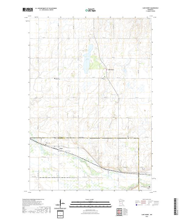 2022 Lake Henry2022 Print · USGSStearns and Kandiyohi Counties are shown here during the early twenty-first century, featuring the agricultural heart of Bonanza Valley. Researchers can trace local heritage through several burial sites like Saint Margaret Cem and Saint Anthony Cem near Regal.
 - 2022 Map of Hawick, 2022 Print
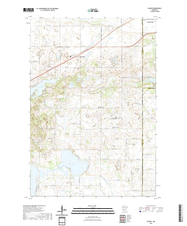 2022 Hawick2022 Print · USGSCentral Minnesota's lake country is captured here during the 2020s, showing the rural communities at the intersection of three counties. Genealogists and local historians can trace the sites of Roseville Cem, Hawick, and the Middle Fork Crow River.
 - 2022 Map of Lake Koronis, 2022 Print
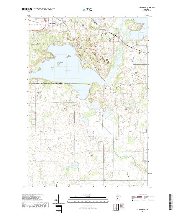 2022 Lake Koronis2022 Print · USGSThe Lake Koronis region of central Minnesota is captured here at the start of the 2020s, showing the developed waterfronts and rural townships. Researchers can locate family sites near Ebenezer Church Cem or trace the winding N Fork Crow River past Krueger Lake.
 - 2022 Map of Paynesville, 2022 Print
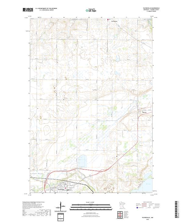 2022 Paynesville2022 Print · USGSStearns County is shown here in the early twenty-first century, centered on the growing community of Paynesville and the N Fork Crow River. Genealogists and historians can trace family locations through rural landmarks like Zion Cem, Salem Cem, and the village of St. Martin.
End of results
Showing maps 1-4 of 4
Top cities near Paynesville
- New London historical maps
- Richmond historical maps
- Spicer historical maps
- Farming historical maps
- Manannah historical maps
- Grove City historical maps
See more
Frequently asked questions
- What are the different types of historical maps available for Paynesville?
- What is the oldest map of Paynesville?
- Where can I purchase historical maps of Paynesville for my home or office?
- Where can I download high-res historical maps of Paynesville?
- Are there historical topographic maps available for Paynesville?
- Is there historical aerial imagery available for Paynesville?
- Where are historical maps of Paynesville sourced from?