2022 Map of Lake Henry
USGS Topo · Published 2022About this map
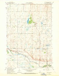
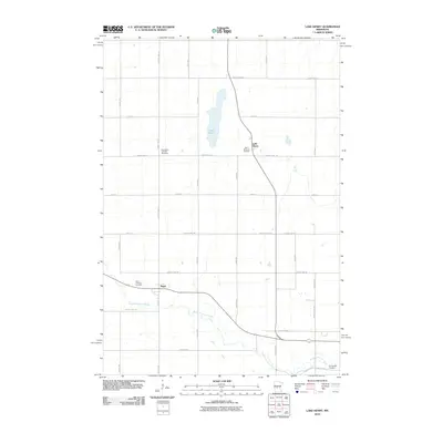
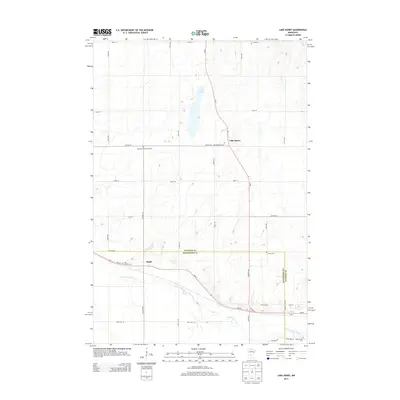
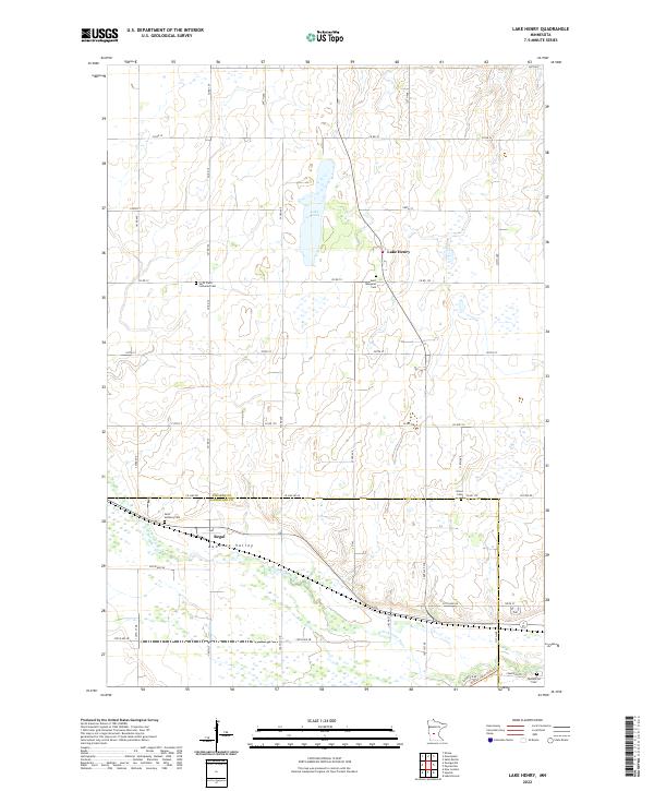
Lake Henry and its namesake settlement anchor the northern portion of this landscape, which transitions into the fertile Bonanza Valley to the south. The terrain is defined by the winding course of the N Fork Crow River as it crosses the border between Stearns Co and Kandiyohi Co. This area is characterized by a dense grid of township roads and section lines, reflecting a long-established agricultural pattern. Genealogists will find a cluster of parish-affiliated and local burial grounds, including Saint Paul's Lutheran Cem and Saint Margaret Cem near the town center, and Saint Anthony Cem further south near the small community of Regal. The map captures the enduring rural character of these Minnesota townships, where the waterway and several small cemeteries remain the primary landmarks beyond the organized road network.
Find a feature on this map
49 named features on this map. Tap any name to fly to it.
Don’t see what you’re looking for? This feature index may not catch every label — zoom into the map to look around manually.
Map Details
Editions of this 2022 Lake Henry Map
This is the sole edition of this map. No revisions or reprints were ever made.
Historical Maps of Paynesville Through Time
6 maps found