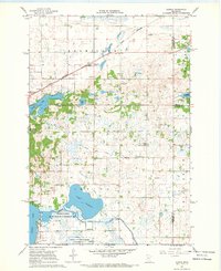
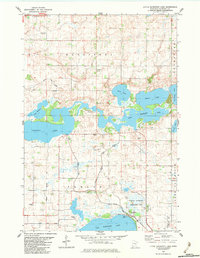
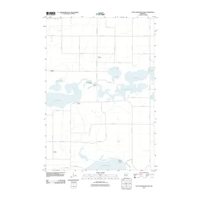
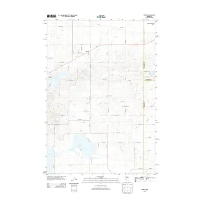
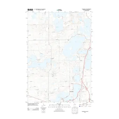
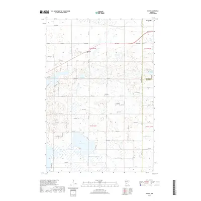
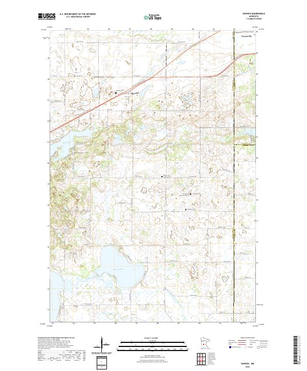
1967 Map of Hawick
USGS Topo · Published 1969About this map
The Great Northern railroad corridor anchors the small settlement of Hawick, providing a focal point for this rural landscape where the prairies of central Minnesota meet an intricate network of glacial lakes and drainage systems. Steeped in local history, the area features numerous small country schools such as School No 812 and the School No 788 East Irving Mission, alongside congregational centers like Zion Ch and Nordland Ch. The southern portion of the map is dominated by the extensive Dietrich Lange State Wildlife Management Area, which preserves the wetlands and margins surrounding Lake Calhoun and the Middle Fork Crow River. This hydrological complexity is further defined by human engineering, visible in the straight lines of County Ditch No 26 and County Ditch No 9, which illustrate the 20th-century effort to manage the region's high water table for agricultural use.
Find a feature on this map
30 named features on this map. Tap any name to fly to it.
Don’t see what you’re looking for? This feature index may not catch every label — zoom into the map to look around manually.
Map Details
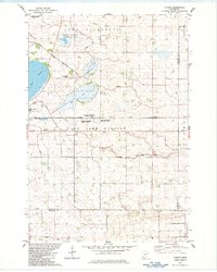
Editions of this 1967 Hawick Map
This is the sole edition of this map. No revisions or reprints were ever made.
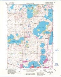
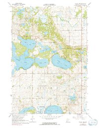
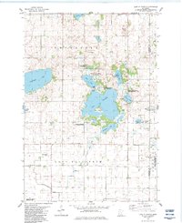
Historical Maps of Paynesville Through Time
36 maps found
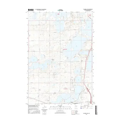
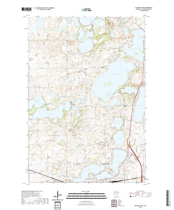
1958 Solomon Lake
Kandiyohi County, MN
1967 Hawick
Kandiyohi County, MN
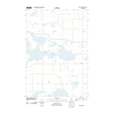
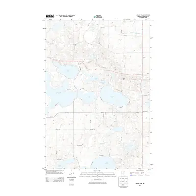
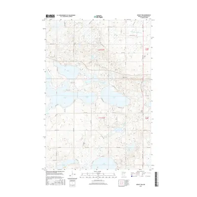
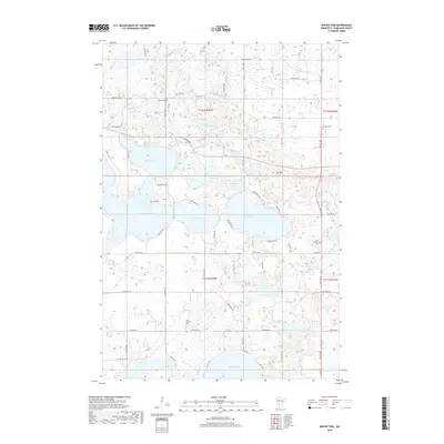
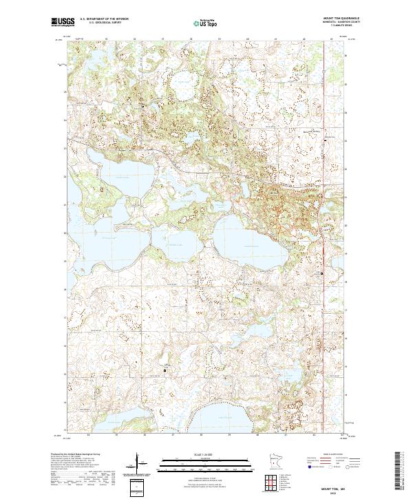
1967 Mount Tom
Kandiyohi County, MN
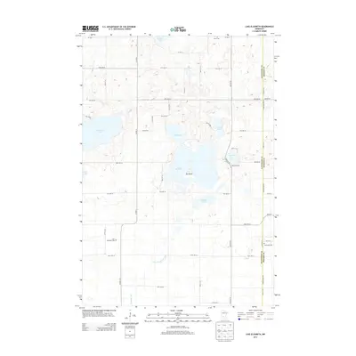
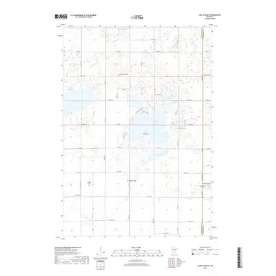
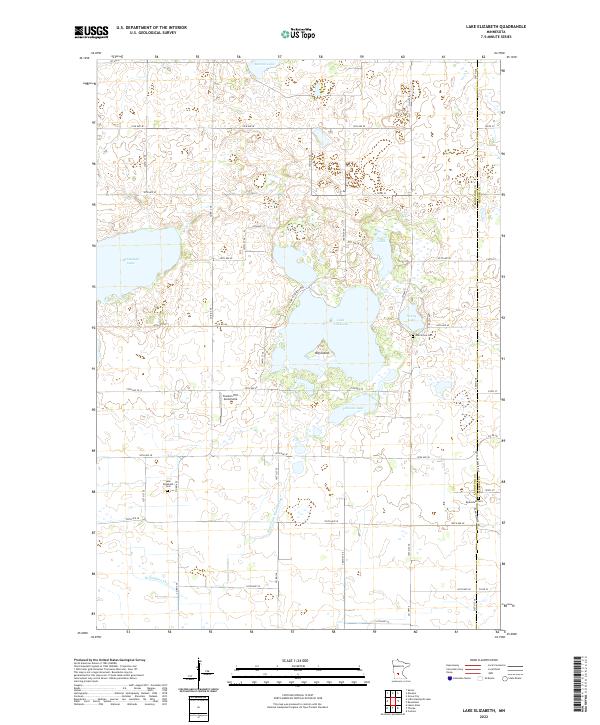
1982 Lake Elizabeth
Kandiyohi County, MN
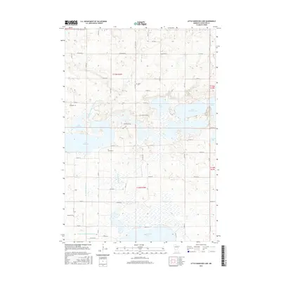
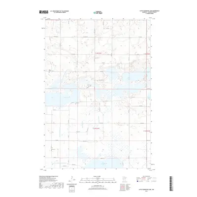
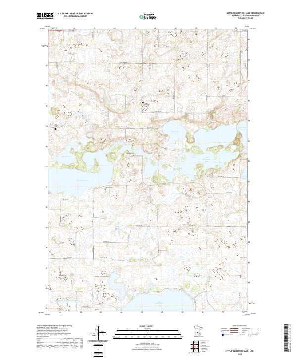
1982 Little Kandiyohi Lake
Kandiyohi County, MN
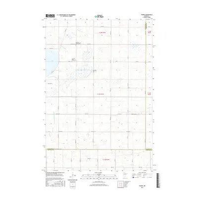
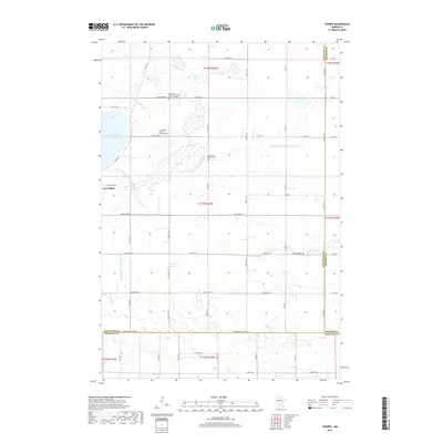
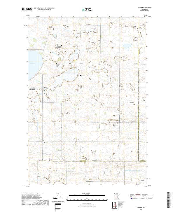
1982 Thorpe
Kandiyohi County, MN
2010 Hawick
Kandiyohi County, MN
2010 Lake Elizabeth
Kandiyohi County, MN
2010 Little Kandiyohi Lake
Kandiyohi County, MN
2010 Mount Tom
Kandiyohi County, MN
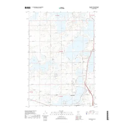
2010 Solomon Lake
Kandiyohi County, MN
2010 Thorpe
Kandiyohi County, MN
2013 Hawick
Kandiyohi County, MN
2013 Lake Elizabeth
Kandiyohi County, MN
2013 Little Kandiyohi Lake
Kandiyohi County, MN
2013 Mount Tom
Kandiyohi County, MN
2013 Solomon Lake
Kandiyohi County, MN
2013 Thorpe
Kandiyohi County, MN
2016 Hawick
Kandiyohi County, MN
2016 Lake Elizabeth
Kandiyohi County, MN
2016 Little Kandiyohi Lake
Kandiyohi County, MN
2016 Mount Tom
Kandiyohi County, MN
2016 Solomon Lake
Kandiyohi County, MN
2016 Thorpe
Kandiyohi County, MN
2019 Hawick
Kandiyohi County, MN
2019 Lake Elizabeth
Kandiyohi County, MN
2019 Little Kandiyohi Lake
Kandiyohi County, MN
2019 Mount Tom
Kandiyohi County, MN
2019 Solomon Lake
Kandiyohi County, MN
2019 Thorpe
Kandiyohi County, MN
2022 Hawick
Kandiyohi County, MN
2022 Lake Elizabeth
Kandiyohi County, MN
2022 Little Kandiyohi Lake
Kandiyohi County, MN
2022 Mount Tom
Kandiyohi County, MN
2022 Solomon Lake
Kandiyohi County, MN
2022 Thorpe
Kandiyohi County, MN