Old Maps of Clontarf, Minnesota for Academic Research
Study the evolution of Clontarf with 16 high-resolution historic maps. Whether you're teaching, researching, or modeling changes in land use, these maps provide essential visual documentation of urban, environmental, and geographic change.
- Analyze long-term change: Track patterns in development, transportation, and natural features.
- Ideal for environmental or urban studies: Support academic projects with primary historical map data.
- Use in the classroom or lab: Educators and researchers rely on these maps to bring historical context to life.
These maps are a powerful tool for teaching, research, and visualizing how Clontarf has changed over the decades.
Clontarf, MN maps
(16)- 1953 Map of Saint Cloud, 1968 Print
 1953 Saint Cloud1968 Print · USGSCentral Minnesota's lake country and the Mississippi River valley are caught in a period of steady mid-century growth. Researchers can trace historic rail lines, old granite works, and local landmarks like St. Johns University, Camp Ripley, and the shores of Lake Minnewaska.3 unique versions available
 - 1957 Map of Saint Cloud
 1957 Saint Cloud1957 Print · USGSCentral Minnesota's lake country and rail corridors are meticulously detailed in the mid-1950s. Genealogists and researchers can trace the growth of towns like Alexandria, Willmar, and Saint Cloud along the Great Northern railroad line.
 - 1958 Map of Saint Cloud
 1958 Saint Cloud1958 Print · USGSCentral Minnesota in the mid-1950s shows a landscape of growing regional hubs and hundreds of glacial lakes connected by an extensive rail network. Genealogists and historians can trace the early footprints of Saint Cloud, Alexandria, and Willmar along the Great Northern Railway.
 - 1968 Map of Clontarf North, 1970 Print
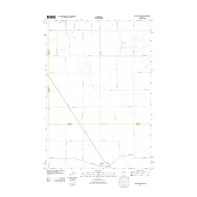
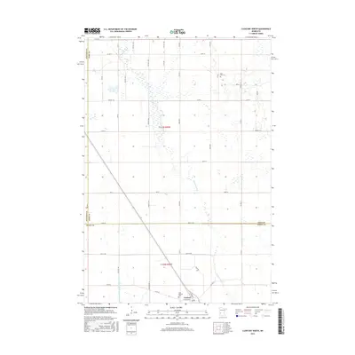
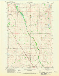 1968 Clontarf North1970 Print · USGSPope and Swift Counties were defined by rail-side settlements and prairie wetlands in the late sixties. Genealogists and local historians can trace the foundations of Clontarf along the Great Northern tracks and locate family sites near St Malachy Cem.
 - 1968 Map of Clontarf South, 1970 Print
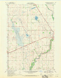 1968 Clontarf South1970 Print · USGSSwift County agricultural and marshlands are captured here in the late sixties, where the Great Northern rail line skirts the Chippewa River. Researchers can trace the rural landscape near Clontarf, the Six Mile Grove Cem, and Lynch Lake.
 - 1986 Map of Willmar
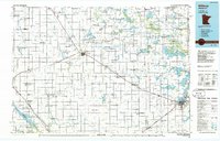 1986 Willmar1986 Print · USGSWest-central Minnesota in the mid-eighties was a landscape of rail-dependent prairie towns and extensive waterfowl conservation areas. Researchers can trace the path of the Burlington Northern through Kerkhoven or explore the lake-dotted terrain of Sibley State Park.2 unique versions available
 - 2010 Map of Clontarf North, 2010 Print
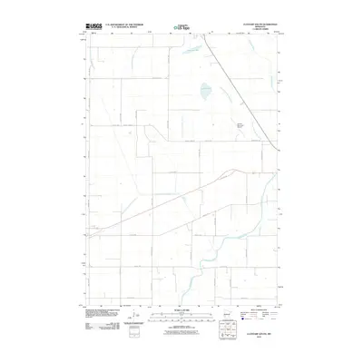
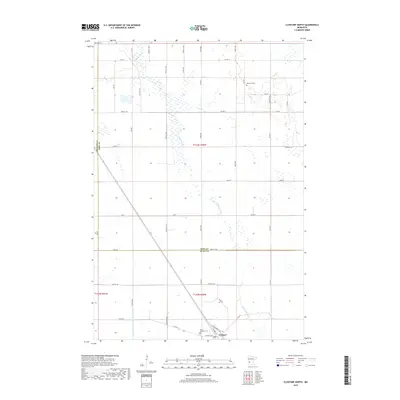
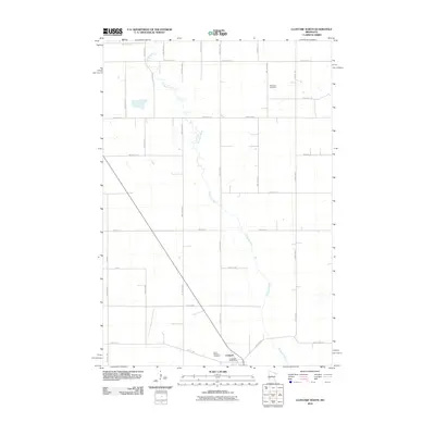 2010 Clontarf North2010 Print · USGSCovers Clontarf, including Stevens County, Pope County, and other nearby areas
 - 2010 Map of Clontarf South, 2010 Print
 2010 Clontarf South2010 Print · USGSCovers Clontarf, including Benson, Danvers, and other nearby areas
 - 2013 Map of Clontarf South, 2013 Print
 2013 Clontarf South2013 Print · USGSCovers Clontarf, including Benson, Danvers, and other nearby areas
 - 2013 Map of Clontarf North, 2013 Print
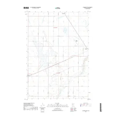
 2013 Clontarf North2013 Print · USGSCovers Clontarf, including Stevens County, Pope County, and other nearby areas
 - 2016 Map of Clontarf South, 2016 Print
 2016 Clontarf South2016 Print · USGSCovers Clontarf, including Benson, Danvers, and other nearby areas
 - 2016 Map of Clontarf North, 2016 Print
 2016 Clontarf North2016 Print · USGSCovers Clontarf, including Stevens County, Pope County, and other nearby areas
 - 2019 Map of Clontarf North, 2019 Print
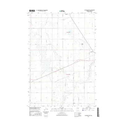
 2019 Clontarf North2019 Print · USGSCovers Clontarf, including Stevens County, Pope County, and other nearby areas
 - 2019 Map of Clontarf South, 2019 Print
 2019 Clontarf South2019 Print · USGSCovers Clontarf, including Benson, Danvers, and other nearby areas
 - 2022 Map of Clontarf North, 2022 Print
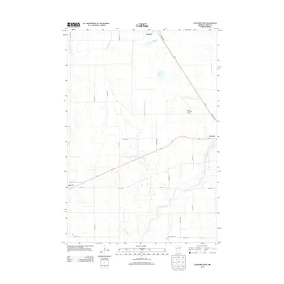
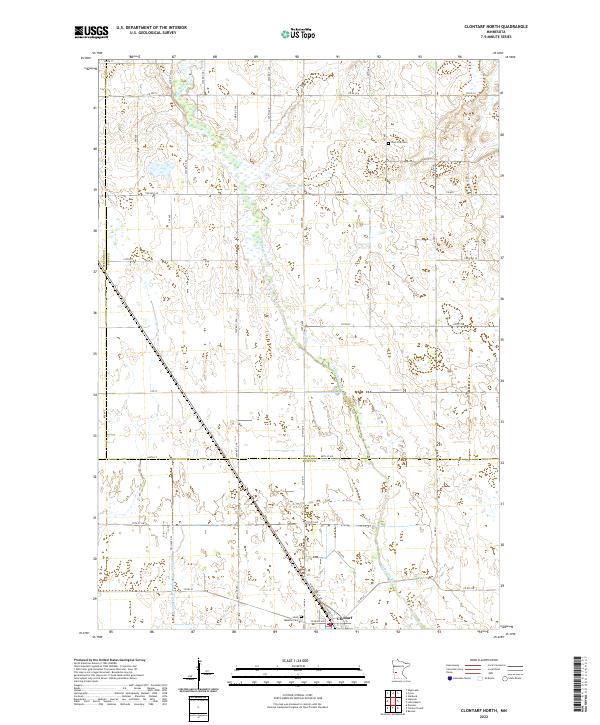 2022 Clontarf North2022 Print · USGSThe rural prairie landscape of Pope and Swift Counties is captured here in the early twenty-first century. Genealogists and local historians can trace family sites at West Zion Cem or follow the Chippewa River as it passes near the village of Clontarf.
 - 2022 Map of Clontarf South, 2022 Print
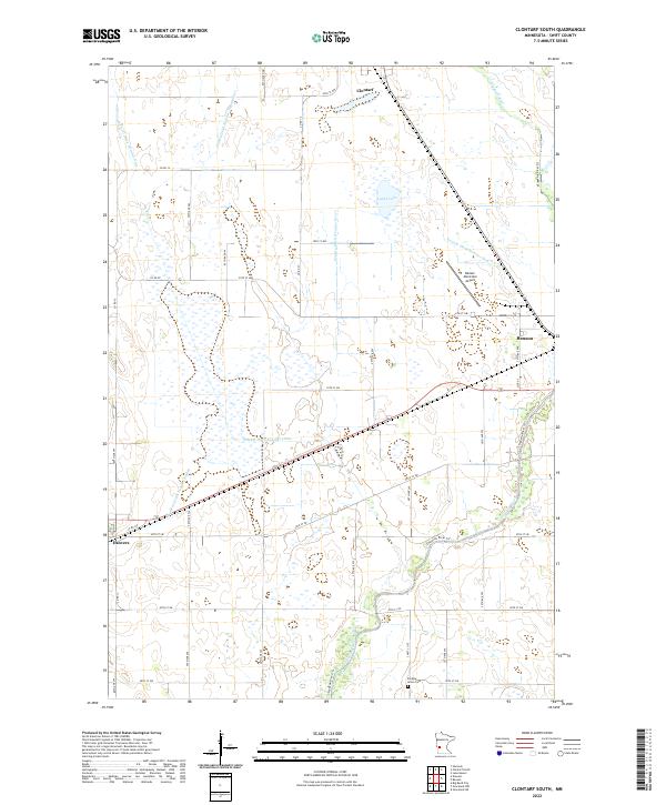 2022 Clontarf South2022 Print · USGSSwift County agricultural lands and the river valley are captured here in the early twenty-first century. Researchers can trace family roots at Six Mile Grove Cem or follow the water from Lynch Lake down to the Chippewa River.
End of results
Showing maps 1-16 of 16
Top cities near Clontarf
- Morris historical maps
- Benson historical maps
- Starbuck historical maps
- Hancock historical maps
- De Graff historical maps
- Holloway historical maps
See more
Frequently asked questions
- What are the different types of historical maps available for Clontarf?
- What is the oldest map of Clontarf?
- Where can I purchase historical maps of Clontarf for my home or office?
- Where can I download high-res historical maps of Clontarf?
- Are there historical topographic maps available for Clontarf?
- Is there historical aerial imagery available for Clontarf?
- Where are historical maps of Clontarf sourced from?