Old Maps of Danvers, Minnesota for Genealogy
Trace your family roots with 16 historic maps of Danvers. These high-res maps reveal old neighborhoods, homesites, landmarks, and streets — helping you uncover where your ancestors lived and how the area evolved over time.
- Explore historic neighborhoods: Identify where your relatives may have lived in the 1800s or 1900s.
- Compare maps over time: Trace the changes in streets, buildings, and landmarks for multi-generational research.
- Perfect for genealogy & ancestry research: Used by family historians and researchers to map out lineage and migration.
These maps are an incredible resource for exploring your personal connection to Danvers's past.
Danvers, MN maps
(16)- 1953 Map of Saint Cloud, 1968 Print
 1953 Saint Cloud1968 Print · USGSCentral Minnesota's lake country and the Mississippi River valley are caught in a period of steady mid-century growth. Researchers can trace historic rail lines, old granite works, and local landmarks like St. Johns University, Camp Ripley, and the shores of Lake Minnewaska.3 unique versions available
 - 1957 Map of Saint Cloud
 1957 Saint Cloud1957 Print · USGSCentral Minnesota's lake country and rail corridors are meticulously detailed in the mid-1950s. Genealogists and researchers can trace the growth of towns like Alexandria, Willmar, and Saint Cloud along the Great Northern railroad line.
 - 1958 Map of Saint Cloud
 1958 Saint Cloud1958 Print · USGSCentral Minnesota in the mid-1950s shows a landscape of growing regional hubs and hundreds of glacial lakes connected by an extensive rail network. Genealogists and historians can trace the early footprints of Saint Cloud, Alexandria, and Willmar along the Great Northern Railway.
 - 1968 Map of Danvers, 1970 Print
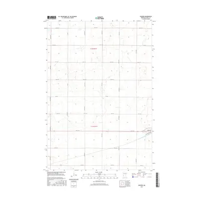
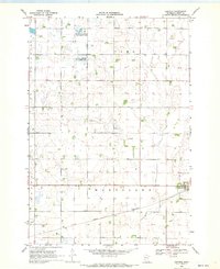 1968 Danvers1970 Print · USGSDanvers and the surrounding prairie of Swift County are captured here in the late sixties as the region's agricultural character remained firmly intact. Researchers can trace the Great Northern rail corridor and identify early conservation tracts like the National Wildlife Management Area.
 - 1968 Map of Clontarf South, 1970 Print
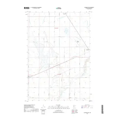
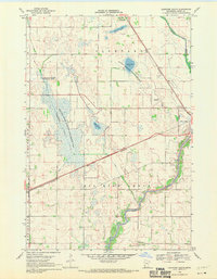 1968 Clontarf South1970 Print · USGSSwift County agricultural and marshlands are captured here in the late sixties, where the Great Northern rail line skirts the Chippewa River. Researchers can trace the rural landscape near Clontarf, the Six Mile Grove Cem, and Lynch Lake.
 - 1986 Map of Willmar
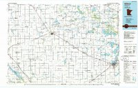 1986 Willmar1986 Print · USGSWest-central Minnesota in the mid-eighties was a landscape of rail-dependent prairie towns and extensive waterfowl conservation areas. Researchers can trace the path of the Burlington Northern through Kerkhoven or explore the lake-dotted terrain of Sibley State Park.2 unique versions available
 - 2010 Map of Clontarf South, 2010 Print
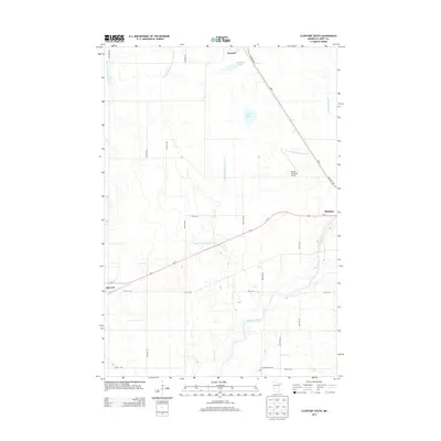
 2010 Clontarf South2010 Print · USGSCovers Danvers, including Benson, Clontarf, and other nearby areas
 - 2010 Map of Danvers, 2010 Print
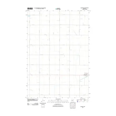 2010 Danvers2010 Print · USGSCovers Danvers, including Swift County, United States, and other nearby areas
 - 2013 Map of Danvers, 2013 Print
 2013 Danvers2013 Print · USGSCovers Danvers, including Swift County, United States, and other nearby areas
 - 2013 Map of Clontarf South, 2013 Print
 2013 Clontarf South2013 Print · USGSCovers Danvers, including Benson, Clontarf, and other nearby areas
 - 2016 Map of Clontarf South, 2016 Print
 2016 Clontarf South2016 Print · USGSCovers Danvers, including Benson, Clontarf, and other nearby areas
 - 2016 Map of Danvers, 2016 Print
 2016 Danvers2016 Print · USGSCovers Danvers, including Swift County, United States, and other nearby areas
 - 2019 Map of Danvers, 2019 Print
 2019 Danvers2019 Print · USGSCovers Danvers, including Swift County, United States, and other nearby areas
 - 2019 Map of Clontarf South, 2019 Print
 2019 Clontarf South2019 Print · USGSCovers Danvers, including Benson, Clontarf, and other nearby areas
 - 2022 Map of Danvers, 2022 Print
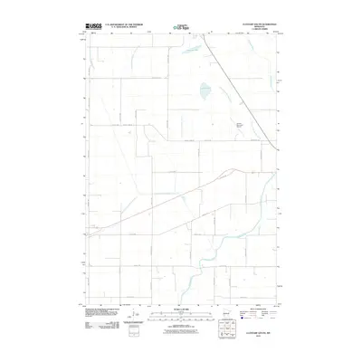
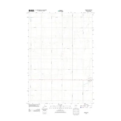
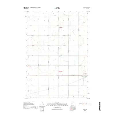
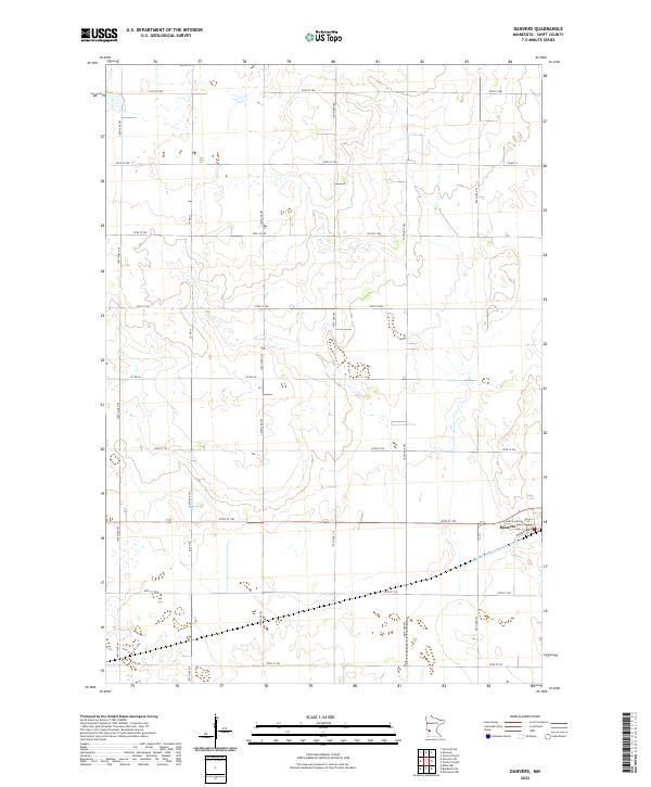 2022 Danvers2022 Print · USGSThe prairie town of Danvers is the centerpiece of this Swift County landscape during the early 2020s. Genealogists and researchers can trace the agricultural grid and water management systems like Judicial Ditch Number Eighty and Co Rd 38.
 - 2022 Map of Clontarf South, 2022 Print
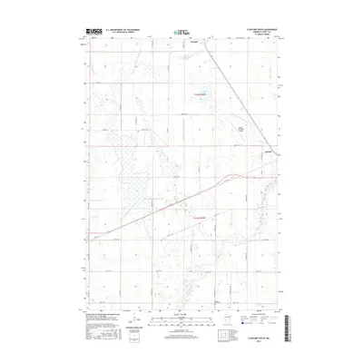
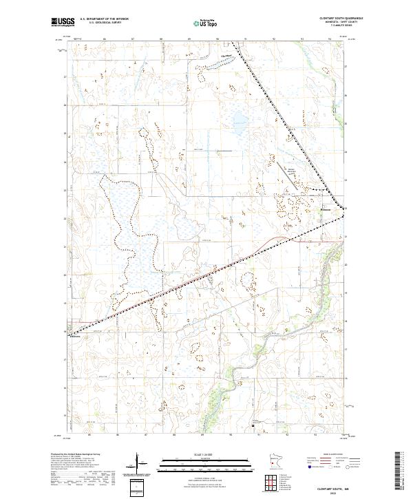 2022 Clontarf South2022 Print · USGSSwift County agricultural lands and the river valley are captured here in the early twenty-first century. Researchers can trace family roots at Six Mile Grove Cem or follow the water from Lynch Lake down to the Chippewa River.
End of results
Showing maps 1-16 of 16
Top cities near Danvers
- Benson historical maps
- Hancock historical maps
- Milan historical maps
- Clontarf historical maps
- Fairfield historical maps
- Holloway historical maps
Frequently asked questions
- What are the different types of historical maps available for Danvers?
- What is the oldest map of Danvers?
- Where can I purchase historical maps of Danvers for my home or office?
- Where can I download high-res historical maps of Danvers?
- Are there historical topographic maps available for Danvers?
- Is there historical aerial imagery available for Danvers?
- Where are historical maps of Danvers sourced from?