2020s Maps of Traverse County, Minnesota
Explore 21 historic maps of Traverse County from the 2020s. These maps offer a rare glimpse into what life looked like during the 2020s — showing old roads, neighborhoods, homes, and landmarks that have changed or disappeared over time.
Whether you're researching your family's past, planning a metal detecting trip, or studying how Traverse County's landscape evolved across the 2020s, these high-resolution maps are a powerful tool for exploring the history of this region.
- Focus on a specific era: All maps on this page are from the 2020s, giving you a focused view of this time period.
- See what’s changed: Compare century-old streets, trails, and buildings to today's modern landscape using overlays and satellite layers.
- Research with precision: Use these maps for genealogy, historical research, land use analysis, or educational projects.
- View, download, or print: Maps are fully viewable online in high resolution, and can be downloaded or printed for your own records.
Start exploring Traverse County's history through authentic maps from the 2020s. This is your window into the past.
Traverse County, MN maps
(21)- 2020 Map of Fairmount, 2020 Print
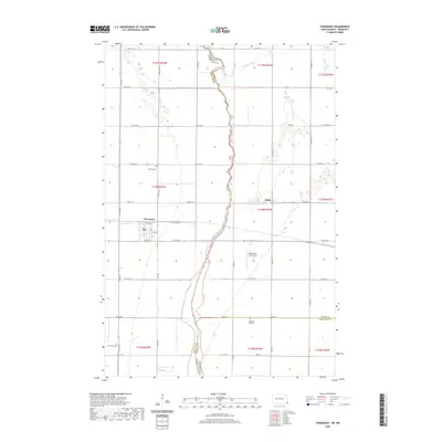 2020 Fairmount2020 Print · USGSCovers Traverse County, including Fairmount, Summit Township, and other nearby areas
 - 2021 Map of Peever NE, 2021 Print
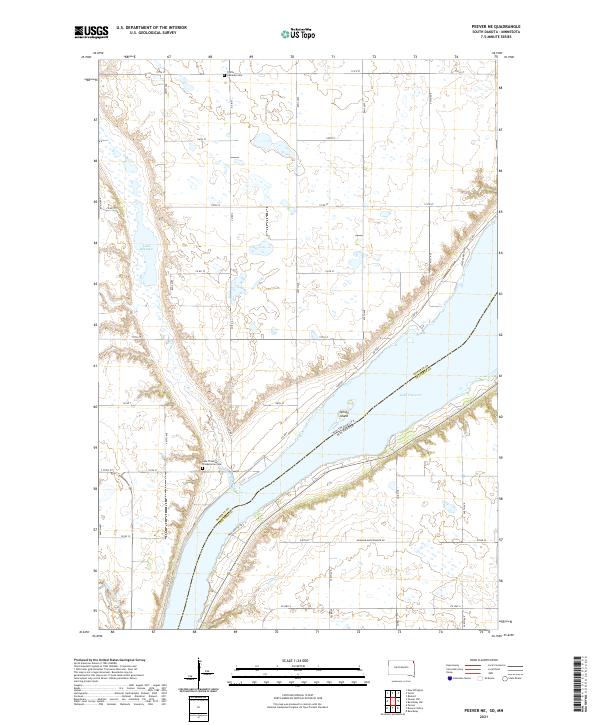 2021 Peever NE2021 Print · USGSLake Traverse and the surrounding prairie wetlands of Roberts County are captured here during the early twenty-first century. Genealogists can locate family sites near Trinity Lutheran Cem or trace the drainage of Jim Creek and Steer Cr through the plains.
 - 2021 Map of Rosholt, 2021 Print
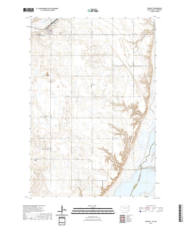 2021 Rosholt2021 Print · USGSNortheastern Roberts County comes into focus in this recent survey of the prairie landscape near the Minnesota border. Genealogists and local historians can trace the positions of numerous rural landmarks, including Bethania Cem, Saint Joseph Cem, and the waters of Lake Traverse.
 - 2022 Map of Beardsley NE, 2022 Print
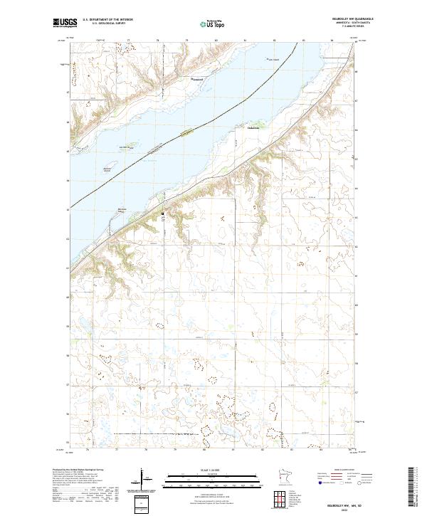
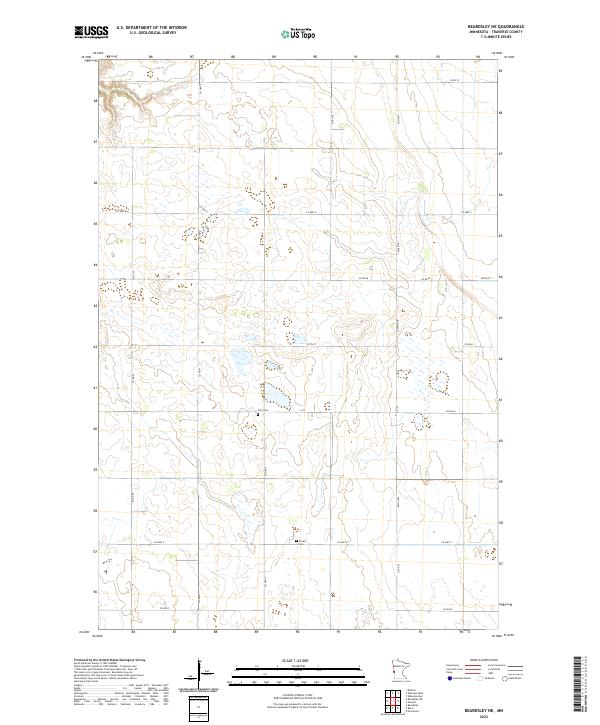 2022 Beardsley NE2022 Print · USGSWestern Minnesota’s agricultural heartland is captured in this recent survey of Traverse County’s expansive prairie grid. Family historians can locate specific plots and landmarks like Zion Cem or Siloah Cem along the network of Co Hwy 5 and Co Hwy 4.
 - 2022 Map of Graceville NE, 2022 Print
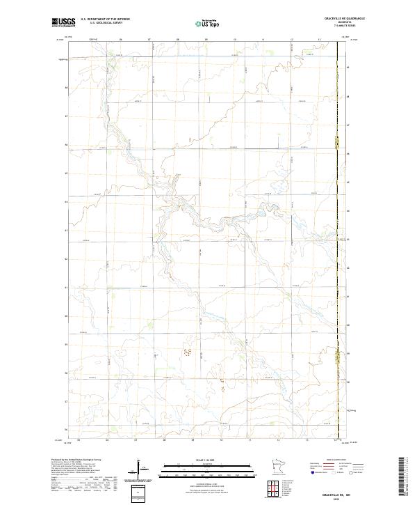 2022 Graceville NE2022 Print · USGSTraverse and Stevens Counties are depicted in this recent survey of Minnesota's agricultural heartland. Researchers can trace the drainage patterns of Twelvemile Cr and find precise property boundaries within T126N R45W and T125N R45W.
 - 2022 Map of Dumont, 2022 Print
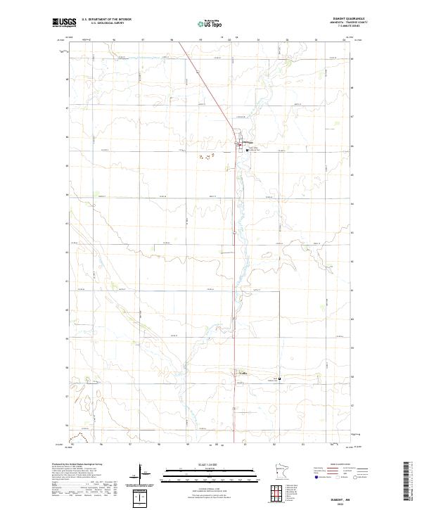 2022 Dumont2022 Print · USGSTraverse County agriculture and quiet township life are documented here in the early twenty-first century. Genealogists and local historians can locate family plots at Saint Johns Lutheran Cem and trace the paths of Collis and Dumont.
 - 2022 Map of Boisberg, 2022 Print
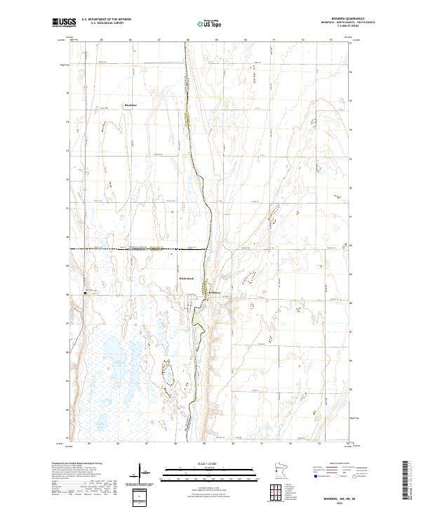 2022 Boisberg2022 Print · USGSThe tri-state junction of Minnesota, North Dakota, and South Dakota is captured here along the Bois de Sioux River. Genealogists and local historians can trace the rural communities of Boisberg, White Rock, and Blackmer, or locate the Lake View Cem.
 - 2022 Map of Wheaton SE, 2022 Print
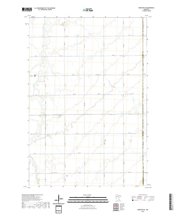 2022 Wheaton SE2022 Print · USGSTraverse County's eastern townships are captured here in the early twenty-first century, showing the precise grid of a modern agricultural landscape. Genealogists can locate Zion Cemetery and trace the paths of Twelvemile Creek and Fivemile Creek across the prairie.
 - 2022 Map of Charlesville, 2022 Print
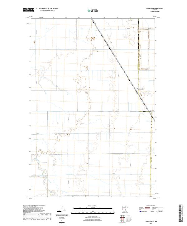 2022 Charlesville2022 Print · USGSTraverse and Grant counties are captured here in the early twenty-first century, showing the enduring agricultural geometry of the Minnesota prairie. Researchers can trace the meandering Mustinka River and locate the small settlement of Charlesville alongside the old path of Fivemile Creek.
 - 2022 Map of Wheaton NW, 2022 Print
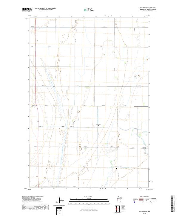 2022 Wheaton NW2022 Print · USGSTraverse County's agricultural heartland is documented here in the early 2020s, showing a landscape defined by water management and rural heritage. Genealogists can locate family burial sites at Monson Cem, Immanuel Cem, or Sharon Cem near the winding Mustinka River.
 - 2022 Map of Tintah, 2022 Print
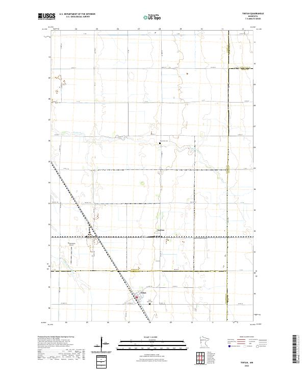 2022 Tintah2022 Print · USGSThe prairie landscape of Traverse and Wilkin counties comes to life in this survey of the northern Red River Valley. Genealogists and local historians can locate Nashua and Tintah, or trace the winding Rabbit River past Saint Galls Cem and Riverside Cem.
 - 2022 Map of Campbell, 2022 Print
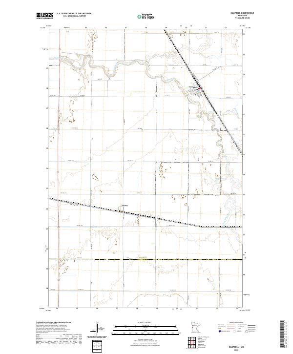 2022 Campbell2022 Print · USGSWilkin County agriculture and the river valley's drainage patterns are detailed in this survey from the early twenty-twenties. Genealogists can trace property boundaries near Campbell and Tenney, or follow the winding Rabbit River through the township grid.
 - 2022 Map of Johnson, 2022 Print
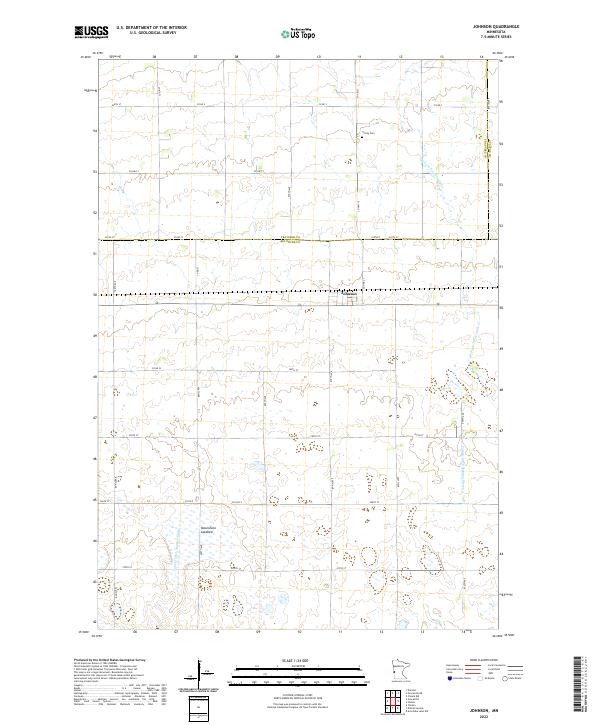 2022 Johnson2022 Print · USGSBig Stone County agriculture and drainage patterns are on full display in this recent survey of the Minnesota prairie. Genealogists can locate Trinity Cem near the town of Johnson, while water features like Moonshine Lakebed reveal the natural landscape.
 - 2022 Map of Beardsley, 2022 Print
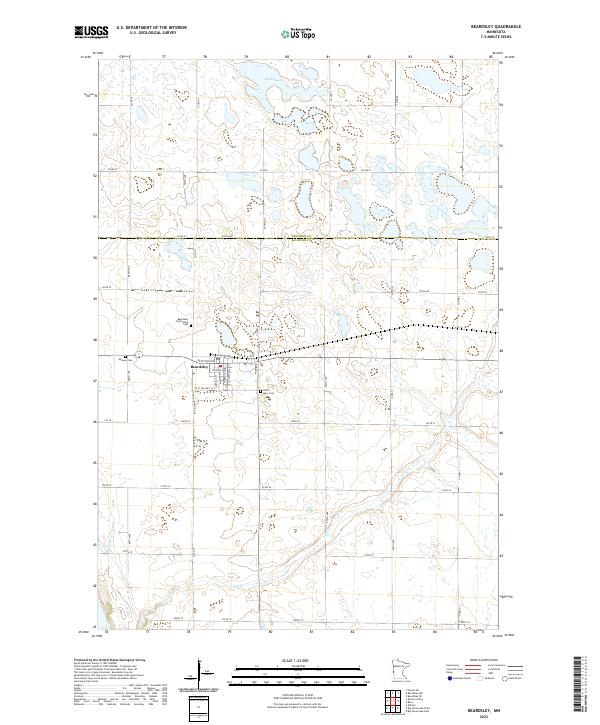 2022 Beardsley2022 Print · USGSBeardsley and the borderlands of Big Stone and Traverse counties are captured in this recent survey. Local researchers can locate three distinct burial grounds, including Saint Mary Cem and Midway Cem, while tracing the course of Fish Cr.
 - 2022 Map of Browns Valley, 2022 Print
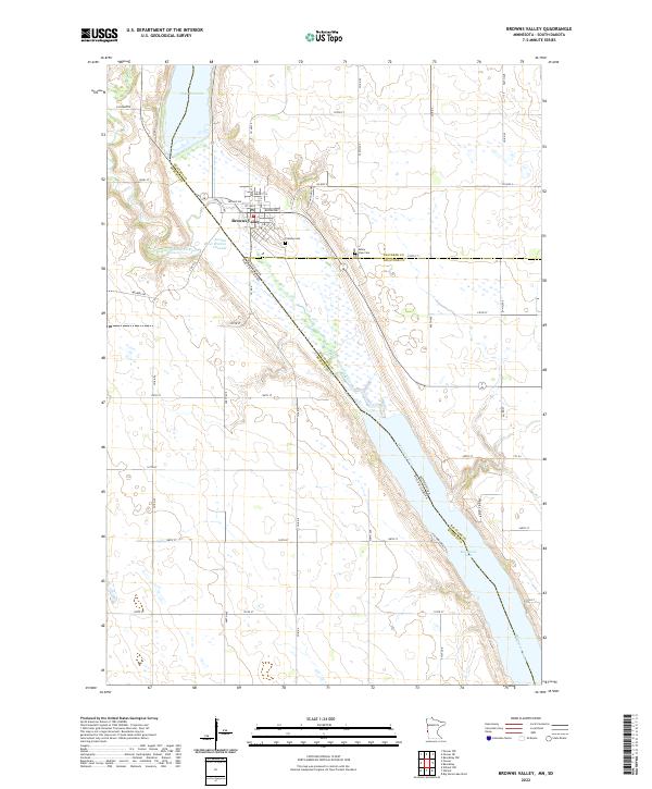 2022 Browns Valley2022 Print · USGSBrowns Valley sits at a historic continental divide in the early twenty-first century, where ancient glacial pathways meet modern state lines. Researchers can trace the town's geography from Plateau Cem down to the shores of Big Stone Lake and Lake Traverse.
 - 2022 Map of Wheaton West, 2022 Print
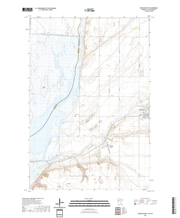 2022 Wheaton West2022 Print · USGSTraverse County at the South Dakota border reveals a landscape shaped by water and agriculture in this 2020s study. Researchers can trace the path of the Mustinka River toward Lake Traverse or locate local landmarks like Nelson Cem and Wheaton.
 - 2022 Map of Wheaton East, 2022 Print
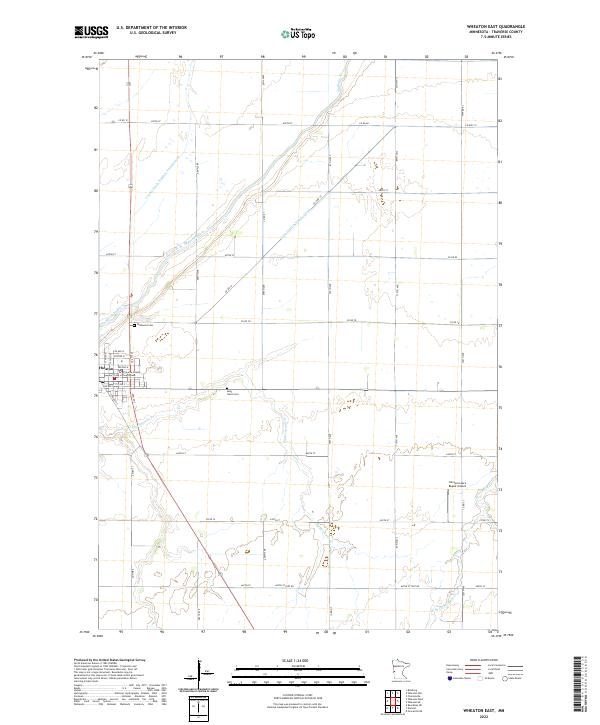 2022 Wheaton East2022 Print · USGSWheaton and the fertile plains of Traverse County are captured here in the early 2020s. Genealogists and local researchers can trace the vicinity of Wildwood Cem, locate the Traverse County Courthouse, and follow the path of the Mustinka River.
 - 2022 Map of Graceville, 2022 Print
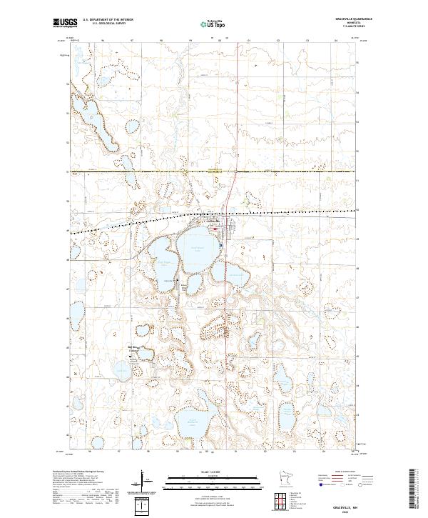 2022 Graceville2022 Print · USGSThe rural prairie of western Minnesota is shown here in the contemporary era, centered on the grid of Graceville. Genealogists and local historians can trace the town's modern layout and its proximity to Saint Marys Lake and the surrounding farmland.
 - 2022 Map of Beardsley NW, 2022 Print
 2022 Beardsley NW2022 Print · USGSThe Minnesota and South Dakota border comes alive in the early twenty-first century as it follows the expansive waters of Lake Traverse. Genealogists and local historians can trace the rural landscape from Dakomin to the quiet grounds of Lake View Cem.
 - 2022 Map of Barry, 2022 Print
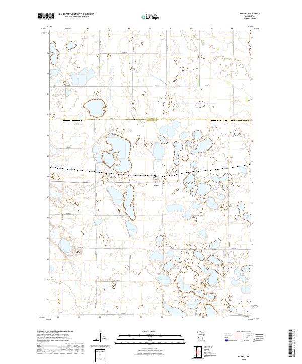 2022 Barry2022 Print · USGSWestern Minnesota prairie life is captured here in the early twenty-first century, centered on the border town of Barry. Researchers can trace the drainage of the local watershed via Judicial Ditch Number Four or locate property boundaries near Fogarty Lake and Clear Lake.
 - 2024 Map of Fairmount, 2024 Print
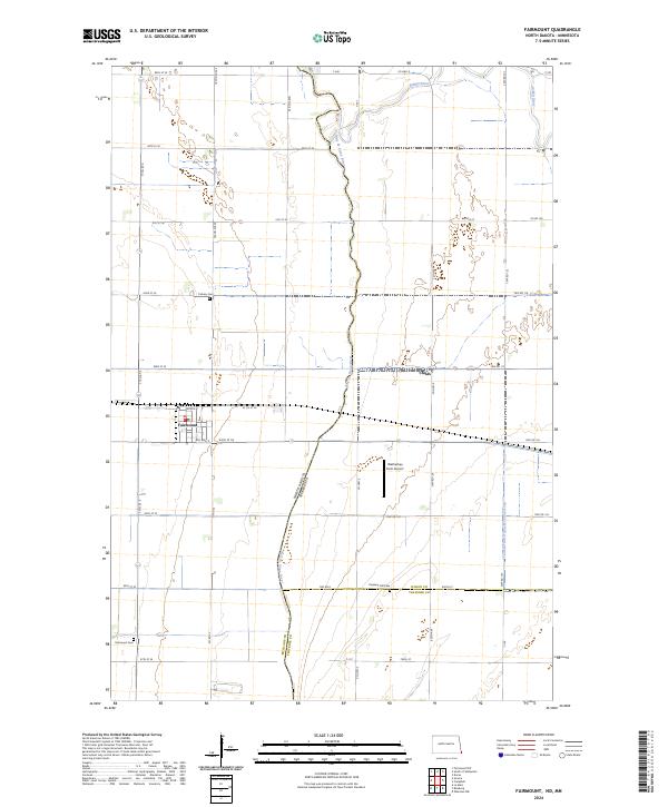 2024 Fairmount2024 Print · USGSFairmount and its surroundings are documented in this recent survey, capturing the river-border landscape where North Dakota meets Minnesota. Trace local family history through Fairmount Cem and Calvary Cem, or follow the winding Bois de Sioux River.
End of results
Showing maps 1-21 of 21
Top cities of Traverse County
Frequently asked questions
- What are the different types of historical maps available for Traverse County?
- What is the oldest map of Traverse County?
- Where can I purchase historical maps of Traverse County for my home or office?
- Where can I download high-res historical maps of Traverse County?
- Are there historical topographic maps available for Traverse County?
- Is there historical aerial imagery available for Traverse County?
- Where are historical maps of Traverse County sourced from?