2000s (21st Century) Maps of Traverse County, Minnesota
Explore 100 historic maps of Traverse County from the 2000s (21st Century). These maps offer a rare glimpse into what life looked like during the 2000s — showing old roads, neighborhoods, homes, and landmarks that have changed or disappeared over time.
Whether you're researching your family's past, planning a metal detecting trip, or studying how Traverse County's landscape evolved across the 2000s, these high-resolution maps are a powerful tool for exploring the history of this region.
- Focus on a specific era: All maps on this page are from the 2000s, giving you a focused view of this time period.
- See what’s changed: Compare century-old streets, trails, and buildings to today's modern landscape using overlays and satellite layers.
- Research with precision: Use these maps for genealogy, historical research, land use analysis, or educational projects.
- View, download, or print: Maps are fully viewable online in high resolution, and can be downloaded or printed for your own records.
Start exploring Traverse County's history through authentic maps from the 2000s. This is your window into the past.
Traverse County, MN maps
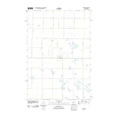
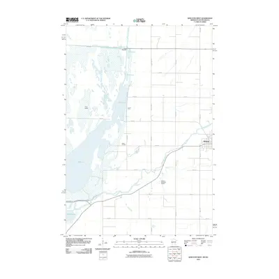
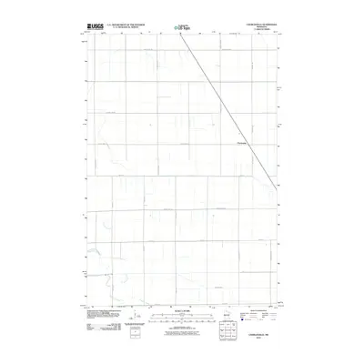
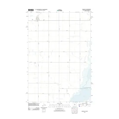
(100)- 2010 Map of Wheaton SE, 2010 Print
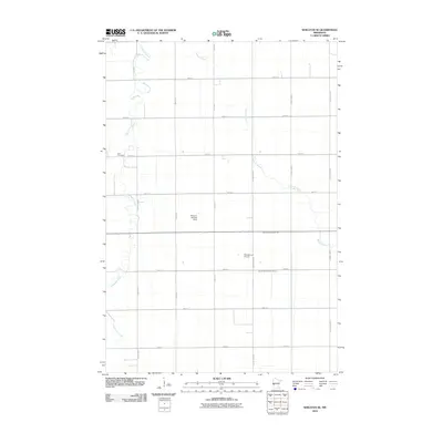 2010 Wheaton SE2010 Print · USGSCovers Traverse County, including Grant County, Stevens County, and other nearby areas
 - 2010 Map of Dumont, 2010 Print
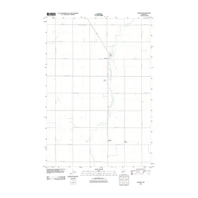 2010 Dumont2010 Print · USGSCovers Traverse County, including Dumont, Collis, and other nearby areas
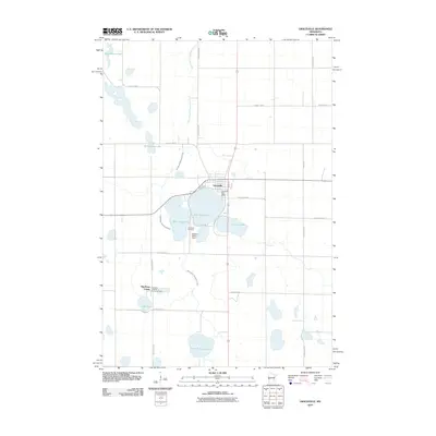
 - 2010 Map of Graceville NE, 2010 Print
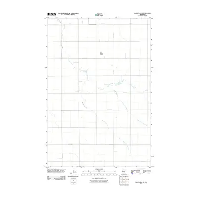 2010 Graceville NE2010 Print · USGSCovers Traverse County, including Stevens County, United States, and other nearby areas
 - 2010 Map of Wheaton NW, 2010 Print
 2010 Wheaton NW2010 Print · USGSCovers Traverse County, including United States, Minnesota, and other nearby areas
 - 2010 Map of Barry, 2010 Print
 2010 Barry2010 Print · USGSCovers Traverse County, including Barry, Big Stone County, and other nearby areas
 - 2010 Map of Rosholt, 2010 Print
 2010 Rosholt2010 Print · USGSCovers Traverse County, including Rosholt, Lake Traverse District, and other nearby areas
 - 2010 Map of Wheaton East, 2010 Print
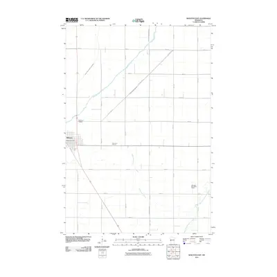 2010 Wheaton East2010 Print · USGSCovers Traverse County, including Wheaton, Schultz Trailer Park, and other nearby areas
 - 2010 Map of Graceville, 2010 Print
 2010 Graceville2010 Print · USGSCovers Traverse County, including Graceville, Big Stone Hutterite Colony, and other nearby areas
 - 2010 Map of Wheaton West, 2010 Print
 2010 Wheaton West2010 Print · USGSCovers Traverse County, including Wheaton, Lake Traverse District, and other nearby areas
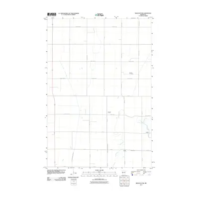
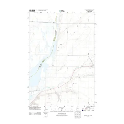
 - 2010 Map of Beardsley NW, 2010 Print
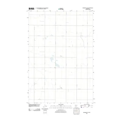
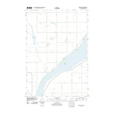
 2010 Beardsley NW2010 Print · USGSCovers Traverse County, including Dakomin, Lake Traverse District, and other nearby areas
 - 2010 Map of Browns Valley, 2010 Print
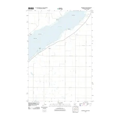
 2010 Browns Valley2010 Print · USGSCovers Traverse County, including Browns Valley, Lake Traverse District, and other nearby areas
 - 2010 Map of Beardsley, 2010 Print
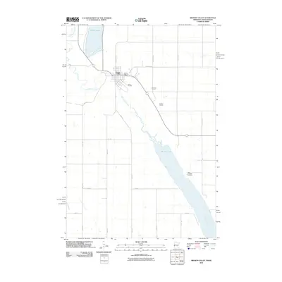
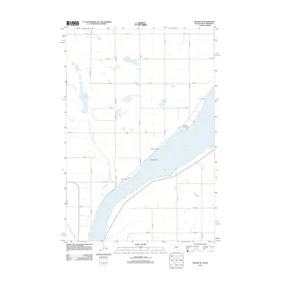
 2010 Beardsley2010 Print · USGSCovers Traverse County, including Beardsley, Big Stone County, and other nearby areas
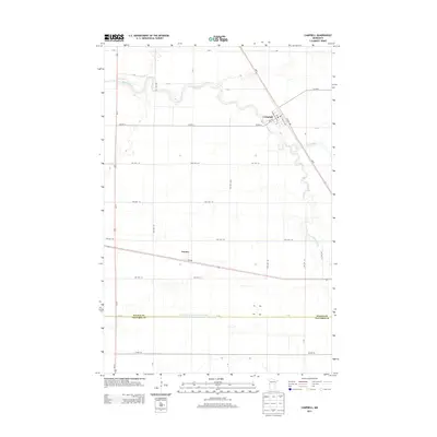
 - 2010 Map of Campbell, 2010 Print
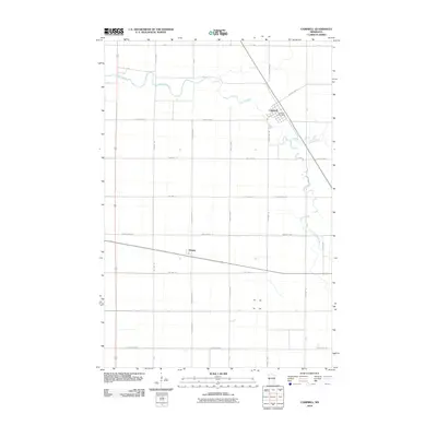 2010 Campbell2010 Print · USGSCovers Traverse County, including Campbell, Tenney, and other nearby areas
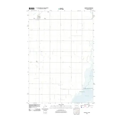
 - 2010 Map of Beardsley NE, 2010 Print
 2010 Beardsley NE2010 Print · USGSCovers Traverse County, including United States, Minnesota, and other nearby areas
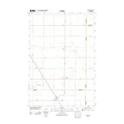
 - 2010 Map of Tintah, 2010 Print
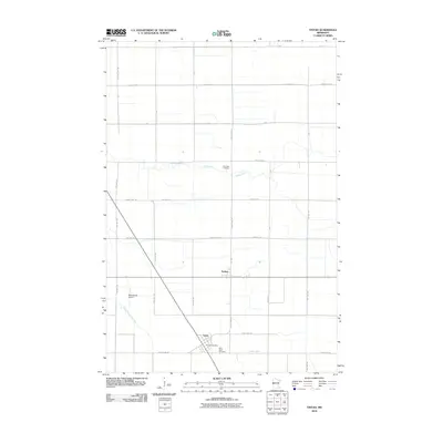 2010 Tintah2010 Print · USGSCovers Traverse County, including Tintah, Nashua, and other nearby areas
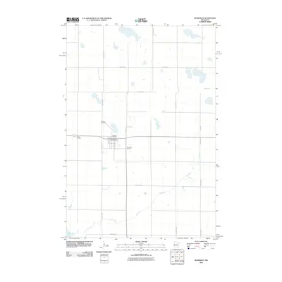
 - 2010 Map of Johnson, 2010 Print
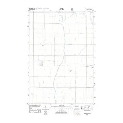
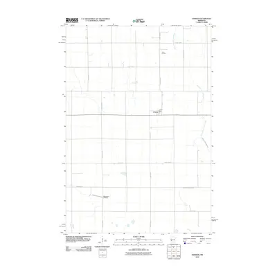 2010 Johnson2010 Print · USGSCovers Traverse County, including Johnson, Stevens County, and other nearby areas
 - 2010 Map of Charlesville, 2010 Print
 2010 Charlesville2010 Print · USGSCovers Traverse County, including Charlesville, Grant County, and other nearby areas
 - 2010 Map of Peever NE, 2010 Print
 2010 Peever NE2010 Print · USGSCovers Traverse County, including Lake Traverse District, Roberts County, and other nearby areas
 - 2011 Map of Boisberg, 2011 Print
 2011 Boisberg2011 Print · USGSCovers Traverse County, including White Rock, Fairmount Township, and other nearby areas
 - 2011 Map of Fairmount, 2011 Print
 2011 Fairmount2011 Print · USGSCovers Traverse County, including Fairmount, Summit Township, and other nearby areas
 - 2012 Map of Peever NE, 2012 Print
 2012 Peever NE2012 Print · USGSCovers Traverse County, including Lake Traverse District, Roberts County, and other nearby areas
 - 2012 Map of Rosholt, 2012 Print
 2012 Rosholt2012 Print · USGSCovers Traverse County, including Rosholt, Lake Traverse District, and other nearby areas
 - 2013 Map of Campbell, 2013 Print
 2013 Campbell2013 Print · USGSCovers Traverse County, including Campbell, Tenney, and other nearby areas
 - 2013 Map of Tintah, 2013 Print
 2013 Tintah2013 Print · USGSCovers Traverse County, including Tintah, Nashua, and other nearby areas
 - 2013 Map of Wheaton West, 2013 Print
 2013 Wheaton West2013 Print · USGSCovers Traverse County, including Wheaton, Lake Traverse District, and other nearby areas
Showing maps 1-25 of 100
Top cities of Traverse County
Frequently asked questions
- What are the different types of historical maps available for Traverse County?
- What is the oldest map of Traverse County?
- Where can I purchase historical maps of Traverse County for my home or office?
- Where can I download high-res historical maps of Traverse County?
- Are there historical topographic maps available for Traverse County?
- Is there historical aerial imagery available for Traverse County?
- Where are historical maps of Traverse County sourced from?