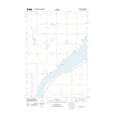
2012 Map of Peever NE
USGS Topo · Published 2012About this map
Lake Traverse dominates the eastern boundary of this South Dakota landscape, serving as a focal point for local life and recreation. The shoreline is punctuated by several established landmarks, including Jensen Island and a series of lakeside retreats like Rock Island Resort and Pheasant Ridge Resort. These locations reflect a regional reliance on the lake for leisure and commerce, connected by a network of rural routes such as Co Hwy-1. Inland to the west, the terrain is defined by glacial waters like Lake Bdesaka and the meandering path of Jim Cr. The southern portion of the map shows the headwaters of the Little Minnesota River, where the prairie drainage system begins its long journey southward. This survey provides a clear look at the intersection of water and rural transit in Roberts County during the early twenty-first century.
Find a feature on this map
30 named features on this map. Tap any name to fly to it.
Don’t see what you’re looking for? This feature index may not catch every label — zoom into the map to look around manually.
Map Details
Editions of this 2012 Peever NE Map
This is the sole edition of this map. No revisions or reprints were ever made.
Other maps of this area

1915 · White Rock
USGS Topo · 1:62,500

1916 · Peever
USGS Topo · 1:62,500

1916 · Beardsley
USGS Topo · 1:62,500

1917 · New Effington
USGS Topo · 1:62,500

1918 · Peever
USGS Topo · 1:62,500

1918 · White Rock
USGS Topo · 1:62,500

1918 · Beardsley
USGS Topo · 1:62,500

1953 · Milbank
USGS Topo · 1:250,000

1958 · Milbank
USGS Topo · 1:250,000

1971 · Browns Valley
USGS Topo · 1:24,000