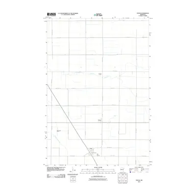
2010 Map of Tintah
USGS Topo · Published 2010About this map
The agricultural plains of the Red River Valley define this landscape, where the small settlements of Tintah and Nashua stand as focal points amidst a grid of township roads. The Rabbit River and its South Fork Rabbit River meander across the terrain, providing natural drainage for the surrounding farmland. Transportation and local services are concentrated in the southwest, anchored by the Tintah Post Office and the nearby Wetenkamp Airport. Local history is preserved at two distinct sites: Riverside Cemetery, located near the banks of the river, and Saint Galls Cemetery situated near the village of Tintah. The map clearly delineates the intersection of numerous rural routes, such as County Hwy-20 and County Hwy-19, which link these small prairie communities to the wider region.
Find a feature on this map
31 named features on this map. Tap any name to fly to it.
Don’t see what you’re looking for? This feature index may not catch every label — zoom into the map to look around manually.
Map Details
Editions of this 2010 Tintah Map
This is the sole edition of this map. No revisions or reprints were ever made.
Other maps of this area

1910 · Wendell
USGS Topo · 1:62,500

1911 · Herman
USGS Topo · 1:62,500

1913 · Wendell
USGS Topo · 1:62,500

1951 · Wheaton
USGS Topo · 1:62,500

1951 · Campbell
USGS Topo · 1:62,500

1953 · Milbank
USGS Topo · 1:250,000

1953 · Fargo
USGS Topo · 1:250,000

1956 · Fargo
USGS Topo · 1:250,000

1958 · Milbank
USGS Topo · 1:250,000

1973 · Herman NW
USGS Topo · 1:24,000