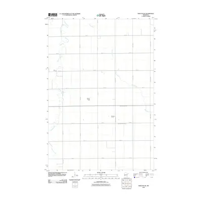
2010 Map of Wheaton SE
USGS Topo · Published 2010About this map
Twelvemile Creek and Fivemile Creek wind through this corner of Traverse County, defining a landscape of agricultural precision at the start of the 2010s. The region is marked by a strict grid of section roads and water management features like County Ditch Number One and County Ditch Number Fiftyone, which channel the flow across the flat plains. Aviation remains a practical part of this rural economy, evidenced by the private Simpson Landing Strip and Zimmerman Airport situated among the fields. For those researching local history, Zion Cemetery stands as a focal point in the western half of the map, serving as a landmark for family roots in this prairie community.
Find a feature on this map
21 named features on this map. Tap any name to fly to it.
Don’t see what you’re looking for? This feature index may not catch every label — zoom into the map to look around manually.
Map Details
Editions of this 2010 Wheaton SE Map
This is the sole edition of this map. No revisions or reprints were ever made.
Other maps of this area

1910 · Chokio
USGS Topo · 1:62,500

1911 · Herman
USGS Topo · 1:62,500

1912 · Chokio
USGS Topo · 1:62,500

1950 · Graceville
USGS Topo · 1:62,500

1951 · Wheaton
USGS Topo · 1:62,500

1953 · Milbank
USGS Topo · 1:250,000

1958 · Milbank
USGS Topo · 1:250,000

1973 · Herman NW
USGS Topo · 1:24,000
1973 · Herman
USGS Topo · 1:24,000
1973 · Chokio NW
USGS Topo · 1:24,000