Loading...
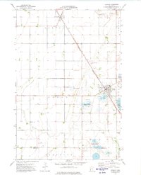
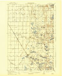
Loading map...1973 Map of Herman
USGS Topo · Published 1975About this map
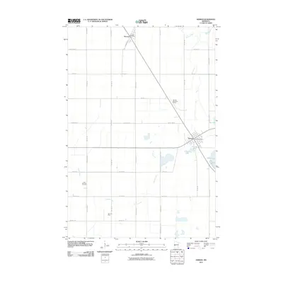
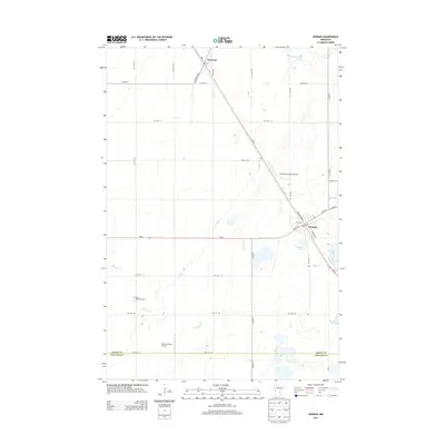
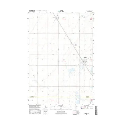
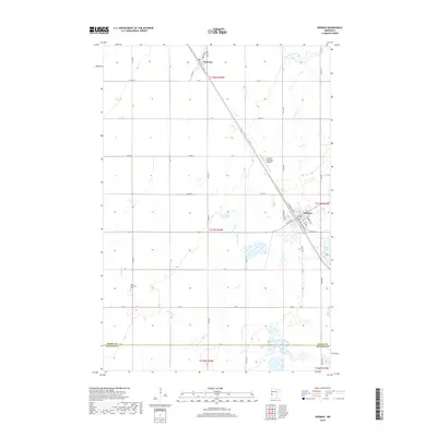
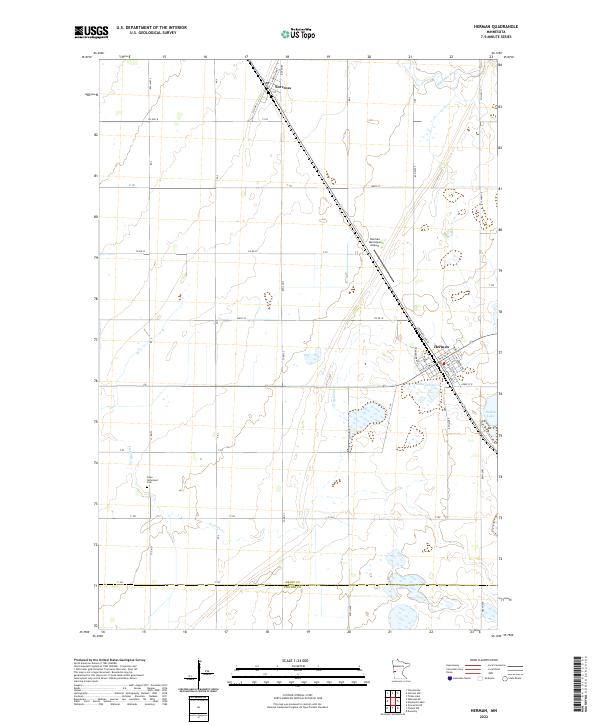
The village of Herman serves as a local hub for agriculture and transit in this 1973 survey of western Minnesota. The Burlington Northern railroad cuts a diagonal line across the prairie, passing through Norcross and Herman, providing a critical shipping link for the grain-producing region. The landscape is characterized by its transition from the managed drainage of Fivemile Creek to numerous wetlands, several of which are designated as National Waterfowl Production Areas.
Find a feature on this map
23 named features on this map. Tap any name to fly to it.
Don’t see what you’re looking for? This feature index may not catch every label — zoom into the map to look around manually.
Map Details
Date Portrayed1973
Date Published1975
PublisherU.S. Geological Survey
Map TypeTopographic
Scale1:24,000
Physical Dimensions21.53 x 27.23 inches
Editions of this 1973 Herman Map
This is the sole edition of this map. No revisions or reprints were ever made.
Historical Maps of Herman Through Time
7 maps found
Featured Locations
Source Details
SourceU.S. Geological Survey
CopyrightPublic Domain