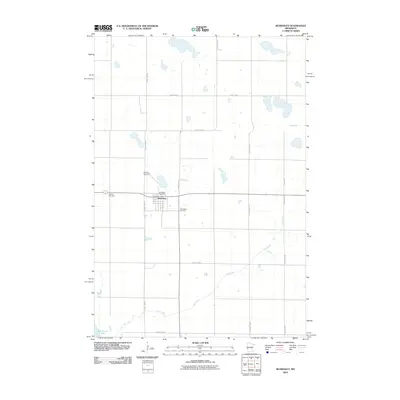
2010 Map of Beardsley
USGS Topo · Published 2010About this map
Beardsley serves as the central hub of this agricultural landscape in Big Stone County, defined by a grid of rural roads and the winding path of Fish Creek. The village contains essential local landmarks including the Beardsley Post Office, while the surrounding area is punctuated by historical burial grounds such as Beardsley Cemetery, Midway Cemetery, and Saint Mary Cemetery. The terrain is characterized by numerous small basins and glacial depressions, typical of this portion of western Minnesota near the South Dakota border. To the southwest, the map touches upon the shores of Big Stone Lake, a significant regional water feature. This 2010 survey illustrates the enduring settlement patterns of the township, where transit is primarily facilitated by a network of county highways like County Hwy-55 and County Hwy-1.
Find a feature on this map
16 named features on this map. Tap any name to fly to it.
Don’t see what you’re looking for? This feature index may not catch every label — zoom into the map to look around manually.
Map Details
Editions of this 2010 Beardsley Map
This is the sole edition of this map. No revisions or reprints were ever made.
Other maps of this area

1916 · Peever
USGS Topo · 1:62,500

1916 · Beardsley
USGS Topo · 1:62,500

1918 · Peever
USGS Topo · 1:62,500

1918 · Beardsley
USGS Topo · 1:62,500

1953 · Milbank
USGS Topo · 1:250,000

1954 · Big Stone Lake
USGS Topo · 1:62,500

1958 · Milbank
USGS Topo · 1:250,000

1971 · Big Stone Lake East
USGS Topo · 1:24,000

1971 · Browns Valley
USGS Topo · 1:24,000

1971 · Big Stone Lake West
USGS Topo · 1:24,000