Old Maps of Aldrich, Minnesota for Hiking & Exploration
Hike through history with 17 historic maps of Aldrich. Explore old trails, ghost towns, and forgotten backroads — perfect for outdoor adventurers and local explorers.
- Rediscover forgotten places: Map out old mining camps, roads, and footpaths that no longer exist on modern maps.
- Layer with modern tools: Combine with LiDAR or satellite views to plan hikes through historical terrain.
- Made for exploration: Popular among hikers, overlanders, and local history lovers.
Use these maps to find adventure and explore the hidden past of Aldrich.
Aldrich, MN maps
(17)- 1953 Map of Brainerd, 1966 Print
 1953 Brainerd1966 Print · USGSCentral Minnesota's lake country and iron ranges are detailed in the mid-fifties, showing the intersection of industry and wilderness. Researchers can locate specific local landmarks like the Crow Wing County Courthouse or trace the early paths of the Soo Line Railroad and the Cuyuna Range Iron Mines.3 unique versions available
 - 1957 Map of Brainerd
 1957 Brainerd1957 Print · USGSNorth-central Minnesota's lake-rich landscape is captured in the mid-1950s as a crossroads of rail, river, and forest. Genealogists and historians can trace the paths of the Great Northern and Soo Line railroads through hubs like Brainerd, Wadena, and Detroit Lakes.
 - 1958 Map of Brainerd
 1958 Brainerd1958 Print · USGSCentral Minnesota in the late fifties is a landscape of dense lake chains, rail hubs, and sprawling state forests. Genealogists and local historians can trace old property alignments near the Mississippi River or locate family sites in Brainerd, Little Falls, and Detroit Lakes.
 - 1965 Map of Brainerd
 1965 Brainerd1965 Print · USGSNorth-central Minnesota in the mid-fifties presents a complex landscape of sprawling lake systems and established rail corridors. Genealogists and historians can trace the growth of timber towns along the Northern Pacific RR and explore early borders of the White Earth Indian Reservation or Tamarac National Wildlife Refuge.
 - 1966 Map of Aldrich North, 1967 Print
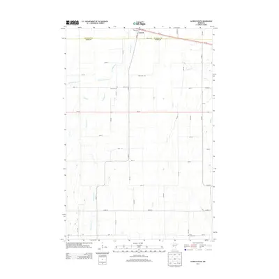
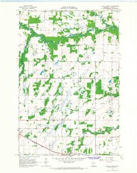 1966 Aldrich North1967 Print · USGSWadena County was a landscape of river confluences and rail-side settlements in the mid-1960s. Researchers can trace rural life through landmarks like Mother of Sorrows Cem, the Drive-in Theater at Verndale, and the Wing River Tabernacle.
 - 1966 Map of Aldrich South, 1968 Print
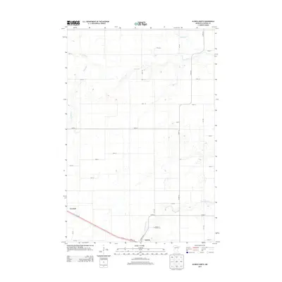
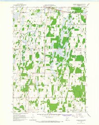 1966 Aldrich South1968 Print · USGSTodd and Wadena Counties are captured here in the mid-1960s, showing a landscape of river-bottom wetlands and structured township grids. Genealogists and local historians can locate rural landmarks like Balsamlund Ch, the Maple Leaf Sch, and the Northern Pacific line through Aldrich.
 - 1986 Map of Brainerd
 1986 Brainerd1986 Print · USGSCentral Minnesota's lake country and river junctions are captured here in the mid-1980s. Genealogists and historians can trace the Burlington Northern line through Staples or locate family sites near Brainerd State Hospital and Gull Lake.2 unique versions available
 - 2010 Map of Aldrich South, 2010 Print
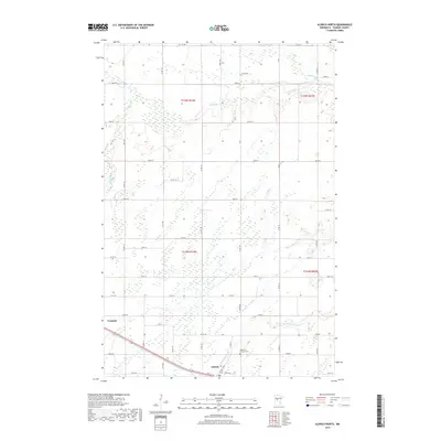
 2010 Aldrich South2010 Print · USGSCovers Aldrich, including Todd County, Wadena County, and other nearby areas
 - 2010 Map of Aldrich North, 2010 Print
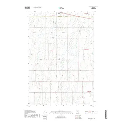
 2010 Aldrich North2010 Print · USGSCovers Aldrich, including Verndale, Wadena County, and other nearby areas
 - 2013 Map of Aldrich South, 2013 Print
 2013 Aldrich South2013 Print · USGSCovers Aldrich, including Todd County, Wadena County, and other nearby areas
 - 2013 Map of Aldrich North, 2013 Print
 2013 Aldrich North2013 Print · USGSCovers Aldrich, including Verndale, Wadena County, and other nearby areas
 - 2016 Map of Aldrich South, 2016 Print
 2016 Aldrich South2016 Print · USGSCovers Aldrich, including Todd County, Wadena County, and other nearby areas
 - 2016 Map of Aldrich North, 2016 Print
 2016 Aldrich North2016 Print · USGSCovers Aldrich, including Verndale, Wadena County, and other nearby areas
 - 2019 Map of Aldrich South, 2019 Print
 2019 Aldrich South2019 Print · USGSCovers Aldrich, including Todd County, Wadena County, and other nearby areas
 - 2019 Map of Aldrich North, 2019 Print
 2019 Aldrich North2019 Print · USGSCovers Aldrich, including Verndale, Wadena County, and other nearby areas
 - 2022 Map of Aldrich North, 2022 Print
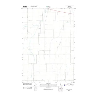
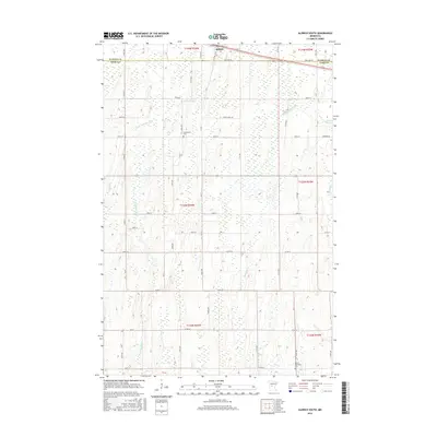
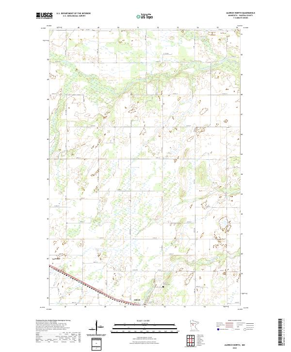 2022 Aldrich North2022 Print · USGSWadena County's agricultural and river landscape is detailed in this recent survey of the central Minnesota plains. Researchers can trace family sites near Verndale and Aldrich or locate the Mother of Sorrows Cem near the Partridge River.
 - 2022 Map of Aldrich South, 2022 Print
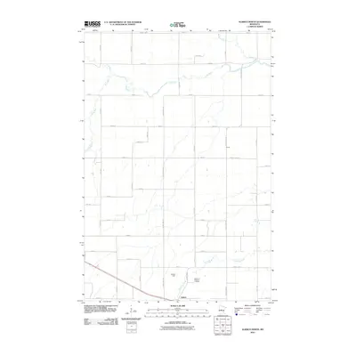
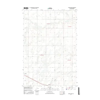
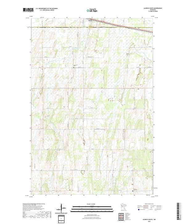 2022 Aldrich South2022 Print · USGSTodd County farm country and the upper reaches of the Partridge River appear here in the early twenty-first century. Genealogists and local historians can locate rural landmarks such as Balsamlund Cem, Moran - Germania Cem, and the village of Aldrich.
End of results
Showing maps 1-17 of 17
Top cities near Aldrich
- Wadena historical maps
- Eagle Bend historical maps
- Verndale historical maps
- Bertha historical maps
- Hewitt historical maps
Frequently asked questions
- What are the different types of historical maps available for Aldrich?
- What is the oldest map of Aldrich?
- Where can I purchase historical maps of Aldrich for my home or office?
- Where can I download high-res historical maps of Aldrich?
- Are there historical topographic maps available for Aldrich?
- Is there historical aerial imagery available for Aldrich?
- Where are historical maps of Aldrich sourced from?