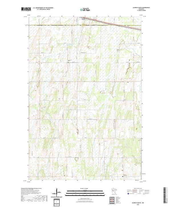
2022 Map of Aldrich South
USGS Topo · Published 2022About this map
Aldrich sits at the northern edge of this landscape, marking the transition from the Wadena Co Todd Co line into the farm and wetland tracts of central Minnesota. The terrain is defined by the winding course of the Partridge River and its tributary, the Little Partridge River, which meander through a grid of rural section roads like Thorn Apple Rd and Todd Line Rd. Local history is anchored by several burial sites, including the Balsamlund Cem located centrally and the Moran - Germania Cem near the southern boundary. The presence of Moran Cr and Balsam Cr illustrates a drainage pattern common to this region, where small creeks and rivers supported early homesteads and agricultural development throughout the 20th century.
Find a feature on this map
27 named features on this map. Tap any name to fly to it.
Don’t see what you’re looking for? This feature index may not catch every label — zoom into the map to look around manually.
Map Details
Editions of this 2022 Aldrich South Map
This is the sole edition of this map. No revisions or reprints were ever made.
Other maps of this area

1953 · Brainerd
USGS Topo · 1:250,000

1957 · Brainerd
USGS Topo · 1:250,000

1958 · Brainerd
USGS Topo · 1:250,000

1965 · Brainerd
USGS Topo · 1:250,000

1966 · Staples NE
USGS Topo · 1:24,000
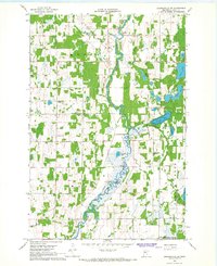
1966 · Browerville NE
USGS Topo · 1:24,000

1966 · Staples
USGS Topo · 1:24,000

1966 · Aldrich North
USGS Topo · 1:24,000
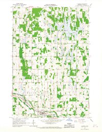
1966 · Clarissa
USGS Topo · 1:24,000

1966 · Aldrich South
USGS Topo · 1:24,000