Old Maps of New Richland, Minnesota
Explore 16 old maps of New Richland, spanning from 1954 to today. These high-resolution historic maps reveal how streets, neighborhoods, landmarks, and natural features evolved over time — perfect for genealogy, metal detecting, research, and local history exploration.
What you can do with these maps:
- See how New Richland changed over time: Compare historical maps to modern-day views to trace roads, homesites, rail lines & more.
- View detailed metadata: Each map includes creators, publishers, year, scale, and archive source.
- Overlay maps with satellite & LiDAR: Visualize the past alongside modern tools to explore terrain & human change.
- Trusted historical sources: Maps sourced from the USGS, Library of Congress, and other archives.
- Access maps your way: View online, download high-res files, or order prints for personal or research use.
Start exploring old maps of New Richland to uncover forgotten places, hidden landmarks, and the deep history beneath your feet.
New Richland, MN maps
(16)- 1954 Map of Mason City, 1967 Print
 1954 Mason City1967 Print · USGSSouthern Minnesota and northern Iowa are shown here at the height of the mid-century rail era, centered on the regional hubs of Mason City and Rochester. Researchers can trace the vanished paths of the Chicago Great Western and find local landmarks like Pilot Knob and Bear Lake.2 unique versions available
 - 1957 Map of Mason City
 1957 Mason City1957 Print · USGSThe Minnesota-Iowa border region comes alive in this mid-century survey, from the industrial plants of Mason City to the medical hub of Rochester. Researchers can trace the rail-and-river economy through the Chicago Great Western Railway and the Shell Rock River.
 - 1958 Map of Mason City
 1958 Mason City1958 Print · USGSSouthern Minnesota and northern Iowa are shown during the mid-fifties when railroads still anchored the regional economy. Genealogists and historians can trace the intricate rail networks of the Illinois Central and find local landmarks in Mason City, Albert Lea, and Austin.
 - 1967 Map of Otisco, 1969 Print
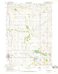
 1967 Otisco1969 Print · USGSWaseca County's agricultural heartland is documented here in the late sixties as drainage projects and rail lines shaped the local economy. Researchers can locate family landmarks like St Peter Cem or trace the Chicago and North Western rail corridor through Otisco.
 - 1967 Map of New Richland, 1969 Print
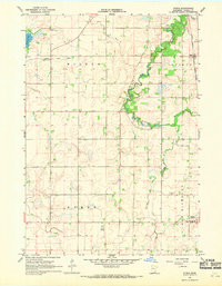
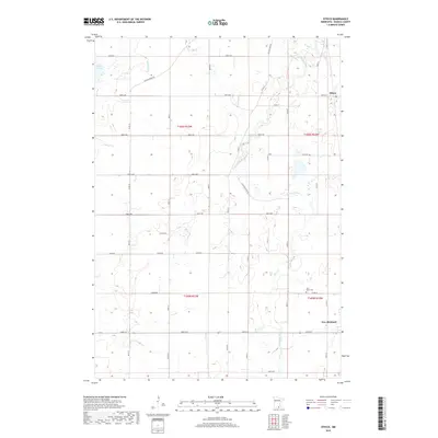
 1967 New Richland1969 Print · USGSWaseca and Steele Counties appear at the end of the sixties as a meticulously drained agricultural landscape centered on the rail town of New Richland. Researchers can trace rural lineages through local landmarks like Otisco Cem, School No 2137, and the Le Sueur River Ch.
 - 1985 Map of Albert Lea
 1985 Albert Lea1985 Print · USGSSouthern Minnesota's agricultural heartland is documented here in the mid-1980s, showing a landscape defined by industrial rail lines and managed waterways. Trace the historic routes of the Chicago and North Western and explore settlements like Hollandale, New Richland, and Bricelyn.2 unique versions available
 - 2010 Map of New Richland, 2010 Print
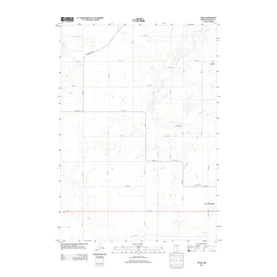
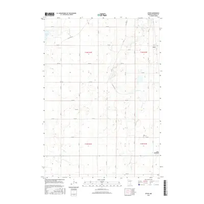
 2010 New Richland2010 Print · USGSCovers New Richland, including Lemond, Vista, and other nearby areas
 - 2010 Map of Otisco, 2010 Print
 2010 Otisco2010 Print · USGSCovers New Richland, including Otisco, Waseca County, and other nearby areas
 - 2013 Map of Otisco, 2013 Print
 2013 Otisco2013 Print · USGSCovers New Richland, including Otisco, Waseca County, and other nearby areas
 - 2013 Map of New Richland, 2013 Print
 2013 New Richland2013 Print · USGSCovers New Richland, including Lemond, Vista, and other nearby areas
 - 2016 Map of Otisco, 2016 Print
 2016 Otisco2016 Print · USGSCovers New Richland, including Otisco, Waseca County, and other nearby areas
 - 2016 Map of New Richland, 2016 Print
 2016 New Richland2016 Print · USGSCovers New Richland, including Lemond, Vista, and other nearby areas
 - 2019 Map of Otisco, 2019 Print
 2019 Otisco2019 Print · USGSCovers New Richland, including Otisco, Waseca County, and other nearby areas
 - 2019 Map of New Richland, 2019 Print
 2019 New Richland2019 Print · USGSCovers New Richland, including Lemond, Vista, and other nearby areas
 - 2022 Map of New Richland, 2022 Print
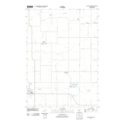
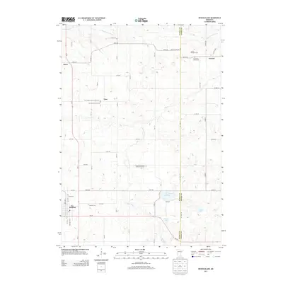
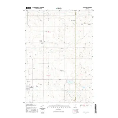
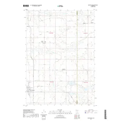
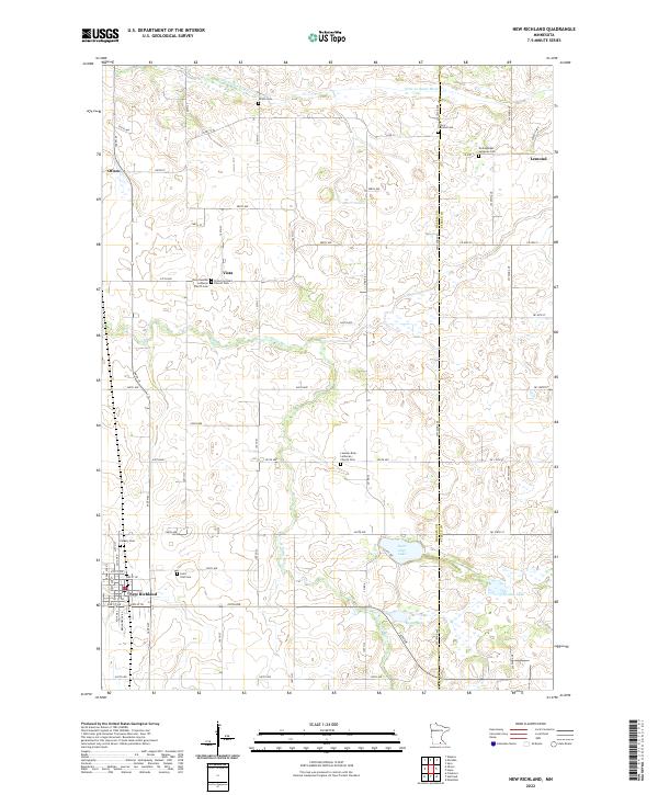 2022 New Richland2022 Print · USGSSouthern Minnesota farmland is captured in this modern survey of the Waseca and Steele county border. Genealogists can locate several historic burial grounds including Pontoppidan Lutheran Cem and Otisco Lemond Cem near the banks of the Le Sueur River.
 - 2022 Map of Otisco, 2022 Print
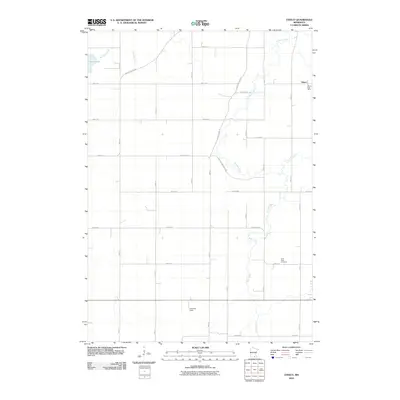
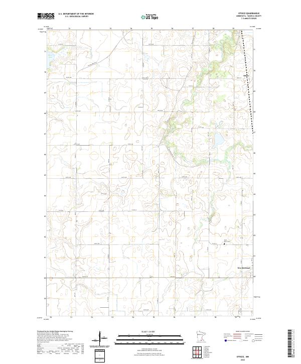 2022 Otisco2022 Print · USGSSouthern Minnesota agricultural life is captured here in the 2020s, showing the rural townships surrounding the Le Sueur River. Genealogists and local historians can trace the roads connecting Otisco and New Richland, or locate family sites near Saint Peter Cem and Silver Lake.
End of results
Showing maps 1-16 of 16
Top cities near New Richland
- Owatonna historical maps
- Albert Lea historical maps
- Waseca historical maps
- Wells historical maps
- Janesville historical maps
- Bancroft historical maps
See more
Frequently asked questions
- What are the different types of historical maps available for New Richland?
- What is the oldest map of New Richland?
- Where can I purchase historical maps of New Richland for my home or office?
- Where can I download high-res historical maps of New Richland?
- Are there historical topographic maps available for New Richland?
- Is there historical aerial imagery available for New Richland?
- Where are historical maps of New Richland sourced from?