Old Maps of Buffalo Manor, Buffalo for Metal Detecting
Plan your next treasure hunt with 14 historic maps of Buffalo Manor. Find old homesites, ghost towns, trails, and gathering spots that may be lost to time — perfect for identifying promising metal detecting locations.
- Locate forgotten sites: Uncover places like long-lost settlements, abandoned rail lines, or gathering spots.
- Plan better hunts: Use map overlays combined with LiDAR or satellite views to narrow in on historically rich areas.
- Made for detectorists: Thousands of hobbyists use these maps to discover relics, coins, and hidden history.
Use these historic maps to boost your research and find new opportunities beneath the surface of Buffalo Manor.
Buffalo Manor, Buffalo maps
(14)- 1953 Map of Stillwater, 1980 Print
 1953 Stillwater1980 Print · USGSThe Twin Cities and the St. Croix Valley are captured in this mid-century survey as the interstate era began to transform the Upper Midwest. Genealogists and historians can trace the rail-and-river geography of Stillwater, locate landmarks in Anoka, or explore the sprawling St Croix State Park.
 - 1955 Map of Stillwater, 1965 Print
 1955 Stillwater1965 Print · USGSThe Upper St. Croix Valley and the growing Twin Cities area are shown here during the mid-fifties, before the interstate era transformed the regional commute. You can trace the lines of the Northern Pacific RR through towns like Rush City or locate the Saint Croix Indian Reservation.
 - 1958 Map of Stillwater
 1958 Stillwater1958 Print · USGSThe Upper Mississippi and St. Croix River valleys appear in the mid-fifties as the Twin Cities expanded north. Genealogists can locate family landmarks like Oak Park Cem, Saint Michael Church, and the Soo Line RR rail corridors.2 unique versions available
 - 1958 Map of Buffalo, 1959 Print
 1958 Buffalo1959 Print · USGSWright County in the late fifties was a landscape of deep-set lakes and small farming villages connected by the Great Northern rail line. Genealogists and historians can trace local family roots through sites like Swedesburg Ch, St Timothy Cem, and East Maple Lake Sch.2 unique versions available
 - 1965 Map of Stillwater
 1965 Stillwater1965 Print · USGSThe Twin Cities and the St. Croix Valley are mapped here during a period of significant post-war growth and industrial transit. Genealogists and historians can trace rail lines like the Northern Pacific RR through towns such as Rush City, Amery, and Balsam Lake.
 - 1975 Map of Stillwater
 1975 Stillwater1975 Print · USGSThe Twin Cities and the St. Croix Valley are captured in the mid-seventies, showing the urban growth of Minneapolis and St Paul. Researchers can trace old rail corridors of the Northern Pacific RR and locate tribal lands at the Mille Lacs Indian Reservation.2 unique versions available
 - 1981 Map of Buffalo East, 1982 Print
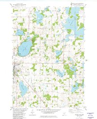 1981 Buffalo East1982 Print · USGSWright County is revealed in the early 1980s as a landscape of interconnected glacial lakes and established township settlements. Local historians can trace the Soo Line rail corridor and find old burial sites like St Marks Cem and Lakeview Cem.
 - 1985 Map of Anoka
 1985 Anoka1985 Print · USGSThe northern Twin Cities suburbs and the Mississippi River valley are captured here in the mid-eighties as suburban growth began to meet rural conservation lands. Trace the expansion of Anoka and Blaine, or locate family landmarks near the Rum River and Buffalo Lake.
 - 1991 Map of Anoka, 1992 Print
 1991 Anoka1992 Print · USGSThe northern Twin Cities suburbs and the upper Mississippi River valley are captured here in the early nineties during a period of rapid suburban expansion. Trace the rail corridors of the Burlington Northern Railroad or explore the boundaries of the Sherburne National Wildlife Refuge and Lake Maria State Park.
 - 2010 Map of Buffalo East, 2010 Print
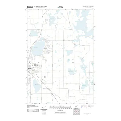 2010 Buffalo East2010 Print · USGSBuffalo and its surrounding lake country are shown here in the early twenty-first century as suburban growth met traditional rural roots. Genealogists and local historians can locate early burial sites like Zion Cemetery and trace the shorelines of Lake Pulaski or Pelican Lake.
 - 2013 Map of Buffalo East, 2013 Print
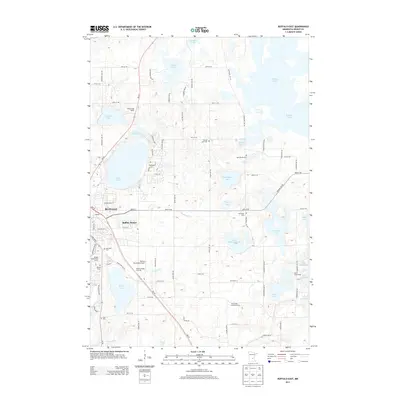 2013 Buffalo East2013 Print · USGSThe lakeside community of Buffalo and its surrounding township are captured here in the early twenty-first century. Researchers can locate family heritage sites at Pelican Lake Cem or trace the development of Bufflao Manor near the shores of Lake Pulaski.
 - 2016 Map of Buffalo East, 2016 Print
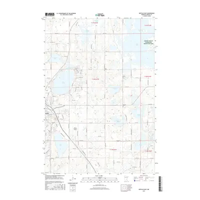 2016 Buffalo East2016 Print · USGSWright County at the peak of its modern development reveals a landscape defined by the city of Buffalo and its surrounding waters. Genealogists and local historians can trace legacy sites like Pelican Lake Cem, Saint Marks Cem, and the Buffalo Municipal Airport.
 - 2019 Map of Buffalo East, 2019 Print
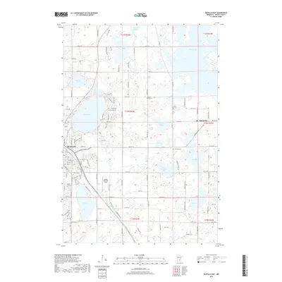 2019 Buffalo East2019 Print · USGSWright County as it appeared in the late 2010s shows a landscape of growing communities and glacial lakes near the cities of Buffalo and St. Michael. Genealogists can locate several historic burial sites like Lakeview Cem and Saint Marks Cem near the shores of Lake Pulaski.
 - 2022 Map of Buffalo East, 2022 Print
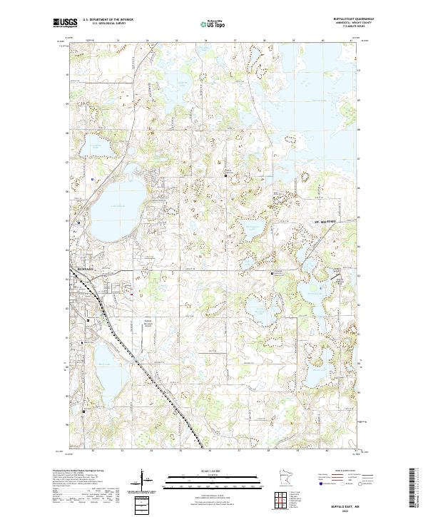 2022 Buffalo East2022 Print · USGSWright County at the start of the 2020s shows the continued growth of Buffalo and St. Michael amidst a landscape of deep blue lakes. Researchers can locate historic local burial grounds like Mission Cem or trace aviation hubs from Buffalo Municipal Airport to the Greseth Seaplane Base.
End of results
Showing maps 1-14 of 14
Frequently asked questions
- What are the different types of historical maps available for Buffalo Manor?
- What is the oldest map of Buffalo Manor?
- Where can I purchase historical maps of Buffalo Manor for my home or office?
- Where can I download high-res historical maps of Buffalo Manor?
- Are there historical topographic maps available for Buffalo Manor?
- Is there historical aerial imagery available for Buffalo Manor?
- Where are historical maps of Buffalo Manor sourced from?