2000s (21st Century) Maps of Otsego, Minnesota
Explore 20 historic maps of Otsego from the 2000s (21st Century). These maps offer a rare glimpse into what life looked like during the 2000s — showing old roads, neighborhoods, homes, and landmarks that have changed or disappeared over time.
Whether you're researching your family's past, planning a metal detecting trip, or studying how Otsego's landscape evolved across the 2000s, these high-resolution maps are a powerful tool for exploring the history of this region.
- Focus on a specific era: All maps on this page are from the 2000s, giving you a focused view of this time period.
- See what’s changed: Compare century-old streets, trails, and buildings to today's modern landscape using overlays and satellite layers.
- Research with precision: Use these maps for genealogy, historical research, land use analysis, or educational projects.
- View, download, or print: Maps are fully viewable online in high resolution, and can be downloaded or printed for your own records.
Start exploring Otsego's history through authentic maps from the 2000s. This is your window into the past.
Otsego, MN maps
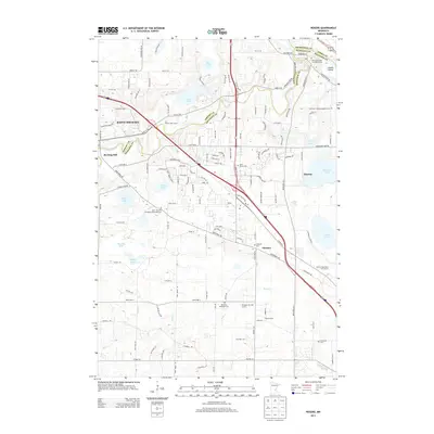
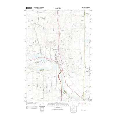
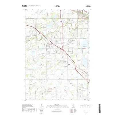
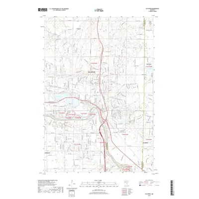
(20)- 2010 Map of Elk River, 2010 Print
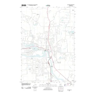 2010 Elk River2010 Print · USGSCovers Otsego, including Ramsey, Elk River, and other nearby areas
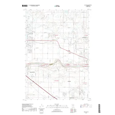
 - 2010 Map of Big Lake, 2010 Print
 2010 Big Lake2010 Print · USGSCovers Otsego, including Elk River, Monticello, and other nearby areas
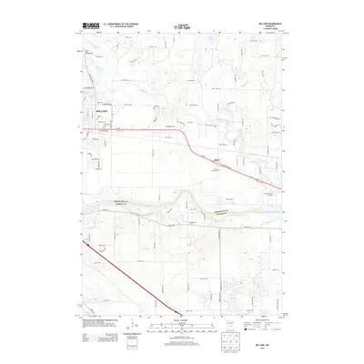
 - 2010 Map of Rogers, 2010 Print
 2010 Rogers2010 Print · USGSCovers Otsego, including Maple Grove, Ramsey, and other nearby areas
 - 2010 Map of Saint Michael, 2010 Print
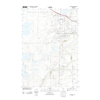
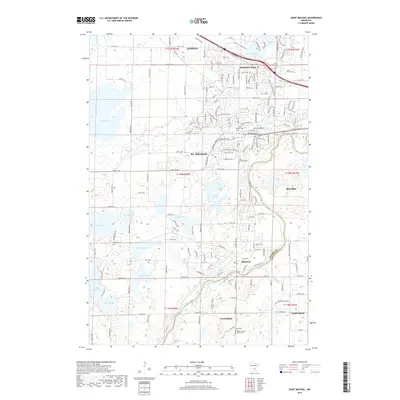
 2010 Saint Michael2010 Print · USGSCovers Otsego, including St. Michael, Saint Michael, and other nearby areas
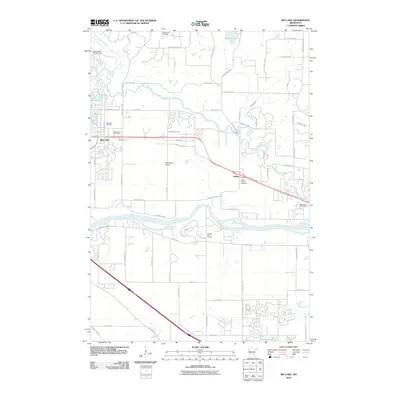
 - 2013 Map of Rogers, 2013 Print
 2013 Rogers2013 Print · USGSCovers Otsego, including Maple Grove, Ramsey, and other nearby areas
 - 2013 Map of Saint Michael, 2013 Print
 2013 Saint Michael2013 Print · USGSCovers Otsego, including St. Michael, Saint Michael, and other nearby areas
 - 2013 Map of Big Lake, 2013 Print
 2013 Big Lake2013 Print · USGSCovers Otsego, including Elk River, Monticello, and other nearby areas
 - 2013 Map of Elk River, 2013 Print
 2013 Elk River2013 Print · USGSCovers Otsego, including Ramsey, Elk River, and other nearby areas
 - 2016 Map of Elk River, 2016 Print
 2016 Elk River2016 Print · USGSCovers Otsego, including Ramsey, Elk River, and other nearby areas
 - 2016 Map of Rogers, 2016 Print
 2016 Rogers2016 Print · USGSCovers Otsego, including Maple Grove, Ramsey, and other nearby areas
 - 2016 Map of Big Lake, 2016 Print
 2016 Big Lake2016 Print · USGSCovers Otsego, including Elk River, Monticello, and other nearby areas
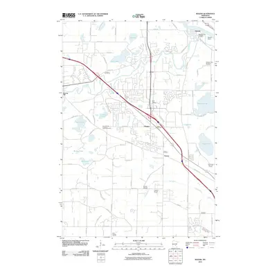
 - 2016 Map of Saint Michael, 2016 Print
 2016 Saint Michael2016 Print · USGSCovers Otsego, including St. Michael, Saint Michael, and other nearby areas
 - 2019 Map of Rogers, 2019 Print
 2019 Rogers2019 Print · USGSCovers Otsego, including Maple Grove, Ramsey, and other nearby areas
 - 2019 Map of Big Lake, 2019 Print
 2019 Big Lake2019 Print · USGSCovers Otsego, including Elk River, Monticello, and other nearby areas
 - 2019 Map of Saint Michael, 2019 Print
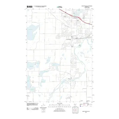
 2019 Saint Michael2019 Print · USGSCovers Otsego, including St. Michael, Saint Michael, and other nearby areas
 - 2019 Map of Elk River, 2019 Print
 2019 Elk River2019 Print · USGSCovers Otsego, including Ramsey, Elk River, and other nearby areas
 - 2022 Map of Big Lake, 2022 Print
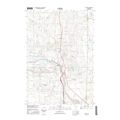
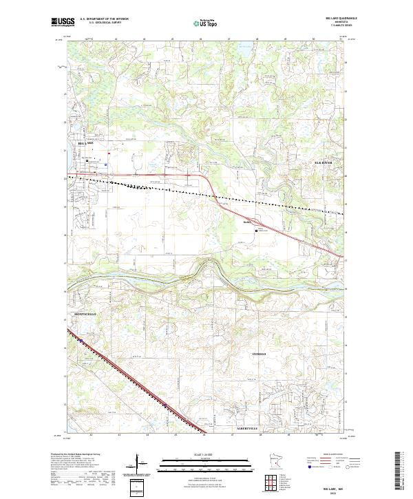 2022 Big Lake2022 Print · USGSThe river valley corridor between Big Lake and Monticello is captured here during a period of sustained regional growth. Genealogists and local historians can pinpoint family sites at the Big Lake Cem or trace the early settlement of Bailey and Otsego.
 - 2022 Map of Elk River, 2022 Print
 2022 Elk River2022 Print · USGSThe confluence of the Mississippi and Elk Rivers in the early 2020s defines this landscape of growing communities and riverside heritage. Genealogists can locate family-named landmarks like Rahn Cem or trace local history at Saint Andrew's and Orono Lake.
 - 2022 Map of Rogers, 2022 Print
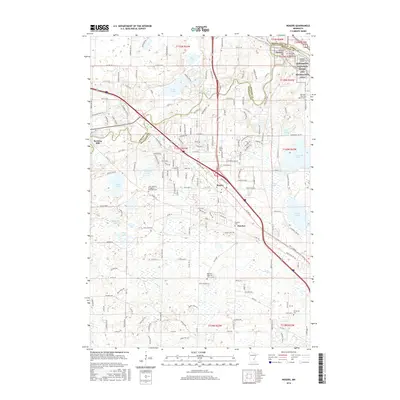
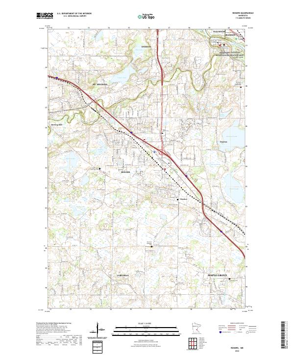 2022 Rogers2022 Print · USGSHennepin County comes into focus in this contemporary survey of the expanding Twin Cities outskirts. Genealogists can locate family sites at Saint Martin Cem or Old Saint Walburga Cem, while tracing the local geography of Berning Mill and Rush Cr.
 - 2022 Map of Saint Michael, 2022 Print
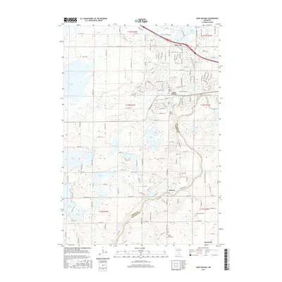
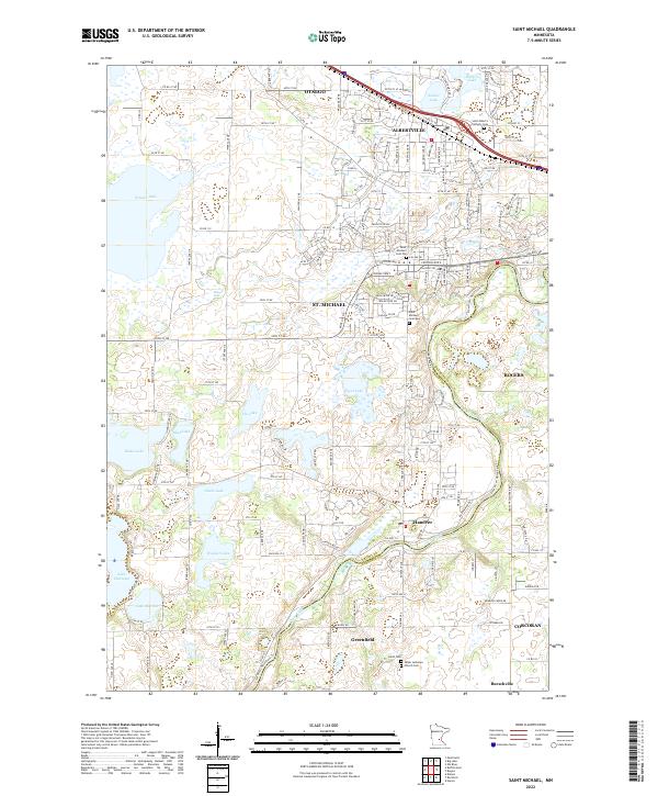 2022 Saint Michael2022 Print · USGSThe Wright and Hennepin county border comes alive in this contemporary map of the northern Twin Cities suburbs. Genealogists can trace family roots at Saint Michael Cem Old and Reich Cem, or explore the lakefronts of Pelican Lake and Beebe Lake.
End of results
Showing maps 1-20 of 20
Top cities near Otsego
- Brooklyn Park historical maps
- Plymouth historical maps
- Maple Grove historical maps
- Andover historical maps
- Ramsey historical maps
- Champlin historical maps
See more
Top neighborhoods of Otsego
- Highlands of RIver Pointe historical maps
- Riverpointe historical maps
- Harvest Run historical maps
- Riverplace historical maps
- Autumn Woods historical maps
- Prospect Pointe historical maps
See more
Frequently asked questions
- What are the different types of historical maps available for Otsego?
- What is the oldest map of Otsego?
- Where can I purchase historical maps of Otsego for my home or office?
- Where can I download high-res historical maps of Otsego?
- Are there historical topographic maps available for Otsego?
- Is there historical aerial imagery available for Otsego?
- Where are historical maps of Otsego sourced from?