Old Maps of Porter, Minnesota for Genealogy
Trace your family roots with 9 historic maps of Porter. These high-res maps reveal old neighborhoods, homesites, landmarks, and streets — helping you uncover where your ancestors lived and how the area evolved over time.
- Explore historic neighborhoods: Identify where your relatives may have lived in the 1800s or 1900s.
- Compare maps over time: Trace the changes in streets, buildings, and landmarks for multi-generational research.
- Perfect for genealogy & ancestry research: Used by family historians and researchers to map out lineage and migration.
These maps are an incredible resource for exploring your personal connection to Porter's past.
Porter, MN maps
(9)- 1953 Map of Watertown, 1968 Print
 1953 Watertown1968 Print · USGSEastern South Dakota and the Minnesota borderlands are captured here during the mid-twentieth century as the region's agricultural and rail-service centers thrived. Genealogists and local historians can trace family-named sites across the Coteau des Prairies and find landmarks in Watertown, De Smet, and Brookings.3 unique versions available
 - 1958 Map of Watertown
 1958 Watertown1958 Print · USGSThe eastern South Dakota prairie and the Minnesota borderlands are captured here in the late fifties, showcasing a landscape of terminal moraine lakes and burgeoning rail hubs. Genealogists and historians can trace the early paths of the Chicago and North Western railroad or locate family roots in Watertown, Clark, or the Sisseton Indian Reservation.2 unique versions available
 - 1967 Map of Porter, 1968 Print
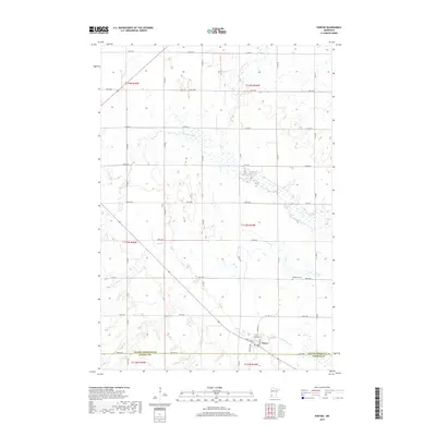
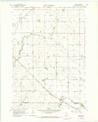 1967 Porter1968 Print · USGSWestern Minnesota prairie life is captured here in the late sixties, centered on the rail-side town of Porter. Genealogists and local historians can trace the paths of the Lac qui Parle River or locate family plots at Wergeland Cem.
 - 1985 Map of Clear Lake
 1985 Clear Lake1985 Print · USGSThe South Dakota and Minnesota borderlands are captured here in the mid-eighties as a landscape of prairie towns and wildlife refuges. Researchers can trace the legacy of regional transport through the Chicago and North Western tracks and the Old Railroad Grade.2 unique versions available
 - 2010 Map of Porter, 2010 Print
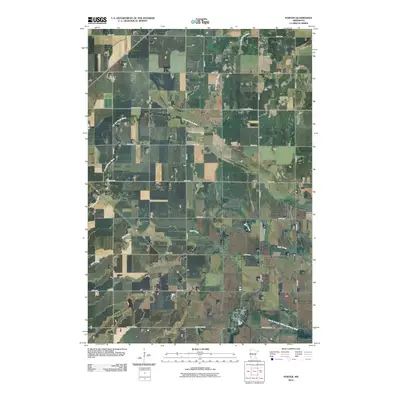 2010 Porter2010 Print · USGSCovers Porter, including Yellow Medicine County, Lincoln County, and other nearby areas
 - 2013 Map of Porter, 2013 Print
 2013 Porter2013 Print · USGSCovers Porter, including Yellow Medicine County, Lincoln County, and other nearby areas
 - 2016 Map of Porter, 2016 Print
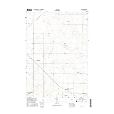 2016 Porter2016 Print · USGSCovers Porter, including Yellow Medicine County, Lincoln County, and other nearby areas
 - 2019 Map of Porter, 2019 Print
 2019 Porter2019 Print · USGSCovers Porter, including Yellow Medicine County, Lincoln County, and other nearby areas
 - 2022 Map of Porter, 2022 Print
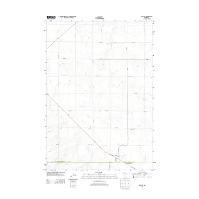
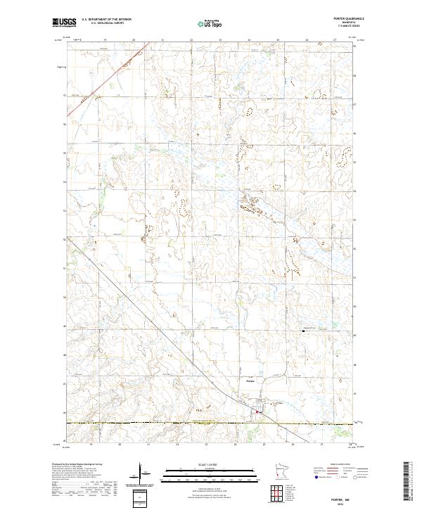 2022 Porter2022 Print · USGSThe town of Porter and its surrounding prairie farms come into focus during this modern survey. Genealogists can locate Wergeland Cem while researchers trace the courses of the Lac qui Parle River and N Br Yellow Medicine River.
End of results
Showing maps 1-9 of 9
Top cities near Porter
- Canby historical maps
- Minneota historical maps
- Ivanhoe historical maps
- Taunton historical maps
- Providence historical maps
Frequently asked questions
- What are the different types of historical maps available for Porter?
- What is the oldest map of Porter?
- Where can I purchase historical maps of Porter for my home or office?
- Where can I download high-res historical maps of Porter?
- Are there historical topographic maps available for Porter?
- Is there historical aerial imagery available for Porter?
- Where are historical maps of Porter sourced from?