2000s (21st Century) Maps of Natchez, Mississippi
Explore 10 historic maps of Natchez from the 2000s (21st Century). These maps offer a rare glimpse into what life looked like during the 2000s — showing old roads, neighborhoods, homes, and landmarks that have changed or disappeared over time.
Whether you're researching your family's past, planning a metal detecting trip, or studying how Natchez's landscape evolved across the 2000s, these high-resolution maps are a powerful tool for exploring the history of this region.
- Focus on a specific era: All maps on this page are from the 2000s, giving you a focused view of this time period.
- See what’s changed: Compare century-old streets, trails, and buildings to today's modern landscape using overlays and satellite layers.
- Research with precision: Use these maps for genealogy, historical research, land use analysis, or educational projects.
- View, download, or print: Maps are fully viewable online in high resolution, and can be downloaded or printed for your own records.
Start exploring Natchez's history through authentic maps from the 2000s. This is your window into the past.
Natchez, MS maps
(10)- 2012 Map of Natchez, 2012 Print
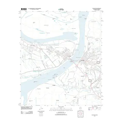 2012 Natchez2012 Print · USGSCovers Natchez, including Vidalia, Hawthorne, and other nearby areas
 - 2012 Map of Washington, 2012 Print
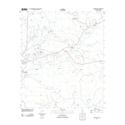 2012 Washington2012 Print · USGSCovers Natchez, including Selma, Washington, and other nearby areas
 - 2015 Map of Washington, 2015 Print
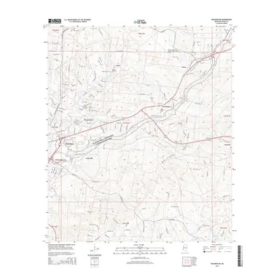 2015 Washington2015 Print · USGSCovers Natchez, including Selma, Washington, and other nearby areas
 - 2015 Map of Natchez, 2015 Print
 2015 Natchez2015 Print · USGSCovers Natchez, including Vidalia, Hawthorne, and other nearby areas
 - 2018 Map of Washington, 2018 Print
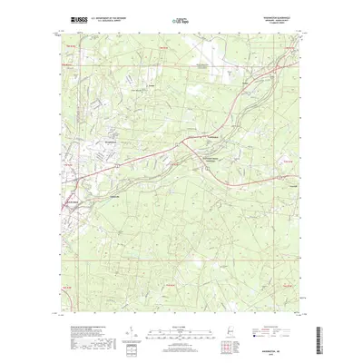 2018 Washington2018 Print · USGSCovers Natchez, including Selma, Washington, and other nearby areas
 - 2018 Map of Natchez, 2018 Print
 2018 Natchez2018 Print · USGSCovers Natchez, including Vidalia, Hawthorne, and other nearby areas
 - 2020 Map of Washington, 2020 Print
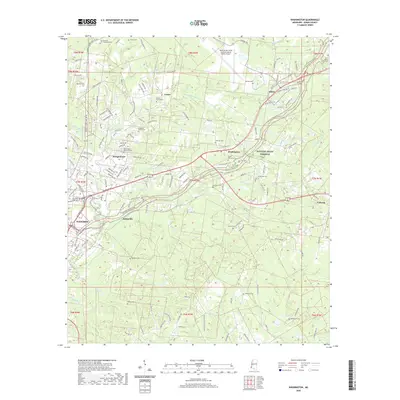 2020 Washington2020 Print · USGSCovers Natchez, including Selma, Washington, and other nearby areas
 - 2020 Map of Natchez, 2020 Print
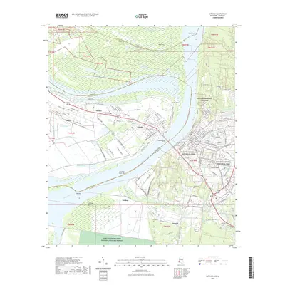 2020 Natchez2020 Print · USGSCovers Natchez, including Vidalia, Hawthorne, and other nearby areas
 - 2024 Map of Natchez, 2024 Print
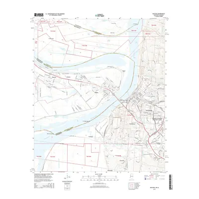
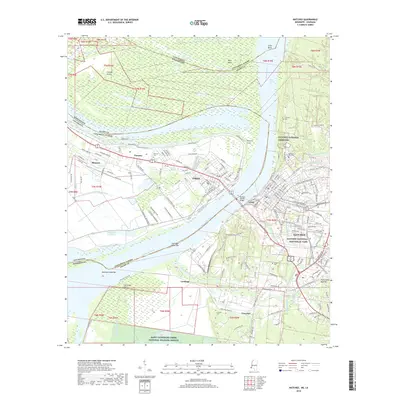
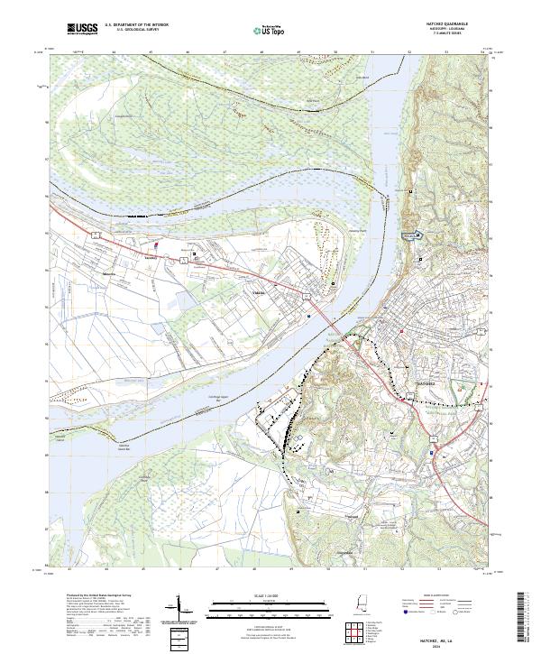 2024 Natchez2024 Print · USGSThe riverfronts of Mississippi and Louisiana are captured here at the point where the Mississippi River separates Vidalia and Natchez. Local historians can trace cemetery locations from the Natchez City Cem to Linwood Cem or explore the grounds of the Natchez National Historical Park.
 - 2024 Map of Washington, 2024 Print
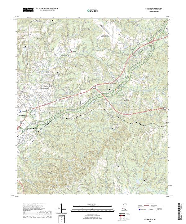 2024 Washington2024 Print · USGSAdams County in the 2020s shows a landscape where suburban growth around Natchez meets a deep history of rural settlements. Genealogists can trace family heritage through numerous burial sites including Foster Mound Cem, Winston Cem, and Ferguson-Foster Cem.
End of results
Showing maps 1-10 of 10
Top cities near Natchez
Top neighborhoods of Natchez
Frequently asked questions
- What are the different types of historical maps available for Natchez?
- What is the oldest map of Natchez?
- Where can I purchase historical maps of Natchez for my home or office?
- Where can I download high-res historical maps of Natchez?
- Are there historical topographic maps available for Natchez?
- Is there historical aerial imagery available for Natchez?
- Where are historical maps of Natchez sourced from?