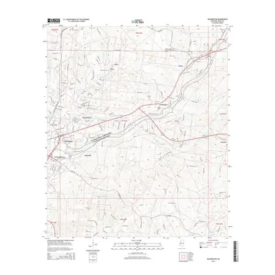
2015 Map of Washington
USGS Topo · Published 2015About this map
The historic Natchez Trace Parkway and National Scenic Trail winds through this landscape northeast of Natchez, tracing an ancient corridor of travel. To the north, the Foster Mounds and Foster Mound stand as significant archaeological landmarks near the settlement of Foster. The area's plantation history is quietly noted by Solitary Valley Plantation Rd and Greenwood Plantation Rd.
Find a feature on this map
161 named features on this map. Tap any name to fly to it.
Don’t see what you’re looking for? This feature index may not catch every label — zoom into the map to look around manually.
Map Details
Editions of this 2015 Washington Map
This is the sole edition of this map. No revisions or reprints were ever made.
Other maps of this area

1909 · Vidalia
USGS Topo · 1:24,000

1921 · Natchez
USGS Topo · 1:48,000

1922 · Natchez
USGS Topo · 1:62,500

1939 · Natchez
USGS Topo · 1:62,500

1939 · Kingston
USGS Topo · 1:62,500

1953 · Natchez
USGS Topo · 1:250,000

1956 · Natchez
USGS Topo · 1:250,000

1958 · Kingston
USGS Topo · 1:62,500

1959 · Natchez
USGS Topo · 1:250,000

1961 · Crosby
USGS Topo · 1:62,500