
1961 Map of Crosby
USGS Topo · Published 1962About this map
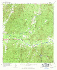
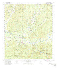
The Homochitto River snakes through this landscape of the early 1960s, cutting through the dense timberlands of the Homochitto National Forest across the borders of Adams, Franklin, Wilkinson, and Amite counties. The region shows a significant mid-century industrial presence, with numerous petroleum developments such as the Locust Hill Oil Field, Dry Bayou Oil Field, and the White Apple Oil Field dotted throughout the hills. The Illinois Central Railroad serves as a primary transportation artery, connecting settlements like Crosby, Knoxville, and Rosetta.
Find a feature on this map
101 named features on this map. Tap any name to fly to it.
Don’t see what you’re looking for? This feature index may not catch every label — zoom into the map to look around manually.
Map Details
Editions of this 1961 Crosby Map
3 editions found
Other maps of this area

1921 · Natchez
USGS Topo · 1:48,000

1922 · Natchez
USGS Topo · 1:62,500

1936 · Woodville
USGS Topo · 1:62,500

1939 · Natchez
USGS Topo · 1:62,500

1939 · Kingston
USGS Topo · 1:62,500

1953 · Natchez
USGS Topo · 1:250,000

1956 · Natchez
USGS Topo · 1:250,000

1958 · Woodville
USGS Topo · 1:62,500

1958 · Kingston
USGS Topo · 1:62,500

1959 · Natchez
USGS Topo · 1:250,000