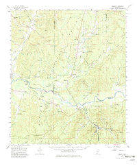
1961 Map of Crosby
USGS Topo · Published 1982About this map
The Homochitto River carves a winding path through the Homochitto National Forest, defining the boundaries and industrial character of this Southwest Mississippi region. In the early 1960s, the landscape was a complex mosaic of timberlands, active petroleum extraction, and rural crossroads settlements. Significant oil operations such as the Locust Hill Oil Field, White Apple Oil Field, and Knoxville Oil Field are visible alongside the infrastructure of the Illinois Central railroad.
Find a feature on this map
111 named features on this map. Tap any name to fly to it.
Don’t see what you’re looking for? This feature index may not catch every label — zoom into the map to look around manually.
Map Details
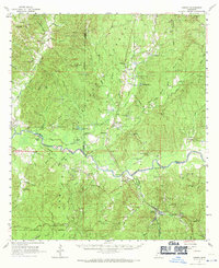
Editions of this 1961 Crosby Map
3 editions found

Other maps of this area

1921 · Natchez
USGS Topo · 1:48,000

1922 · Natchez
USGS Topo · 1:62,500

1936 · Woodville
USGS Topo · 1:62,500

1939 · Natchez
USGS Topo · 1:62,500

1939 · Kingston
USGS Topo · 1:62,500

1953 · Natchez
USGS Topo · 1:250,000

1956 · Natchez
USGS Topo · 1:250,000

1958 · Woodville
USGS Topo · 1:62,500

1958 · Kingston
USGS Topo · 1:62,500

1959 · Natchez
USGS Topo · 1:250,000