Old Maps of Glen, Mississippi for Metal Detecting
Plan your next treasure hunt with 20 historic maps of Glen. Find old homesites, ghost towns, trails, and gathering spots that may be lost to time — perfect for identifying promising metal detecting locations.
- Locate forgotten sites: Uncover places like long-lost settlements, abandoned rail lines, or gathering spots.
- Plan better hunts: Use map overlays combined with LiDAR or satellite views to narrow in on historically rich areas.
- Made for detectorists: Thousands of hobbyists use these maps to discover relics, coins, and hidden history.
Use these historic maps to boost your research and find new opportunities beneath the surface of Glen.
Glen, MS maps
(20)- 1935 Map of Glens
 1935 Glens1935 Print · USGSNortheastern Mississippi at the height of the mid-1930s reveals a landscape defined by crossing rail lines and rural church communities. Genealogists can trace family roots through sites like Cooks Chapel, the Glen PO, and the Zion Sch near the Alcorn Co Prentiss Co line.
 - 1936 Map of Kendrick
 1936 Kendrick1936 Print · USGSAlcorn County and the Tennessee borderlands are captured here in the mid-1930s as the TVA began modernizing the region. Local historians can trace family roots through sites like Barnes Chapel, Field Sch, and the community of Kendrick.
 - 1950 Map of Kendrick, 1953 Print
 1950 Kendrick1953 Print · USGSThe Mississippi-Tennessee borderlands in the mid-twentieth century show a landscape of rural schools and rail intersections. Genealogists can trace family names at Marvin Cem and Wyly Cem, or locate lost landmarks like McGlathery Sch and Fraley Chapel.3 unique versions available
 - 1950 Map of Glens, 1954 Print
 1950 Glens1954 Print · USGSThe crossroads at Jacinto and the rail stop at Glens anchor this mid-century survey of the Alcorn and Prentiss county border. Genealogists can locate family landmarks like Piney Grove Cem and Macedonia Sch.3 unique versions available
 - 1956 Map of Tupelo, 1967 Print
 1956 Tupelo1967 Print · USGSNortheast Mississippi and parts of Tennessee and Alabama are shown here during the mid-fifties, a time of major reservoir construction and forestry management. Researchers can trace the St Louis-San Francisco RR through Tupelo or locate historic sites like Tishomingo State Park and the University.2 unique versions available
 - 1958 Map of Tupelo
 1958 Tupelo1958 Print · USGSNortheast Mississippi and neighboring Alabama and Tennessee appear here during the late fifties as a region defined by new reservoirs and historic rail lines. Genealogists can trace family locations near Sardis Lake, Woodall Mountain, and the St Louis-San Francisco Ry.
 - 1984 Map of Corinth
 1984 Corinth1984 Print · USGSNortheast Mississippi and its borders with Alabama and Tennessee are captured here in the mid-1980s, showcasing a landscape of rail-connected towns and ridge-top settlements. Researchers can trace the path of the Natchez Trace Parkway or locate family-named landmarks near Biggersville, Kossuth, and the historic Tennessee Divide.
 - 1984 Map of Tupelo
 1984 Tupelo1984 Print · USGSNorth Mississippi in the 1980s is defined by its massive river basin reservoirs and the growing regional hubs of Tupelo and Oxford. Researchers can trace the legacy of the Pontotoc Ridge, find the University of Mississippi, and map early Interstate corridors near Sardis Lake.3 unique versions available
 - 1994 Map of Corinth
 1994 Corinth1994 Print · USGSNortheast Mississippi and the Tennessee borderlands are captured in the mid-1990s as the region's modern industrial and recreational landscape took shape. Genealogists and historians can trace rail-to-river connections through Corinth, the old courthouse at Jacinto, and the route of the Natchez Trace Parkway.
 - 2010 Map of Kendrick, 2010 Print
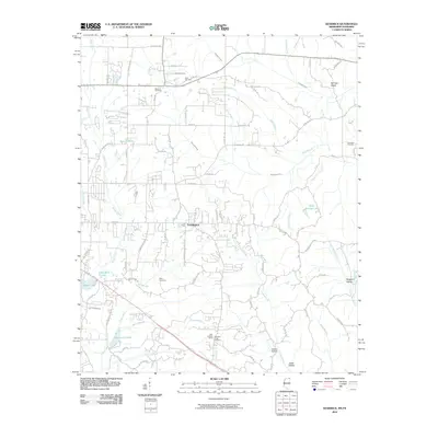 2010 Kendrick2010 Print · USGSNortheast Mississippi and the Tennessee borderlands are captured here at the start of the 2010s. Researchers can trace family history through several local burial sites like Marvin Cemetery and Wyly Cemetery or locate landmarks such as the Glen Lookout Tower.
 - 2012 Map of Glens, 2012 Print
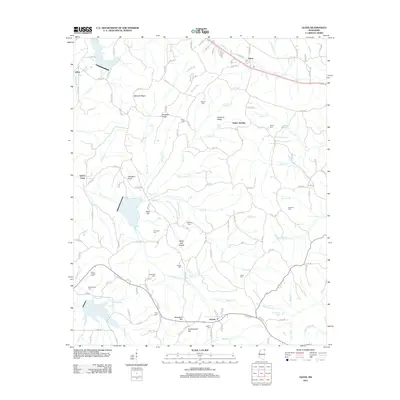 2012 Glens2012 Print · USGSAlcorn County, Mississippi, is shown here in the early twenty-first century as a landscape of rural settlements and family cemeteries. Genealogists can trace local heritage through sites like Jacinto, the Arbor Cem, and landmarks such as Bennett Ridge.
 - 2012 Map of Kendrick, 2012 Print
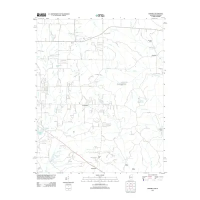 2012 Kendrick2012 Print · USGSAlcorn County, Mississippi, sits at the Tennessee state line during the early twenty-first century, showing a rural landscape of creek bottoms and hollows. Genealogists can trace family names through several rural burial grounds like Clark Cem and Pleasant Ridge Cem.
 - 2015 Map of Glens, 2015 Print
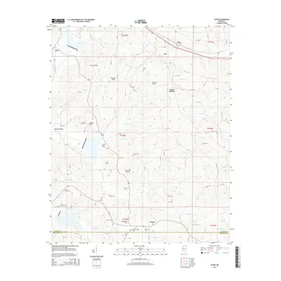 2015 Glens2015 Print · USGSNortheastern Mississippi at the Alcorn and Prentiss county line shows a landscape of ridges and family burial grounds in the early twenty-first century. Researchers can trace ancestral locations at Jacinto or Searcy Town, and find sites like Piney Grove Cem or Arbor Cem.
 - 2015 Map of Kendrick, 2015 Print
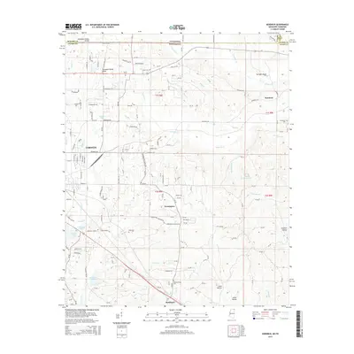 2015 Kendrick2015 Print · USGSAlcorn County, Mississippi, and the borderlands of Tennessee are shown in the mid-2010s, defined by the Tennessee Valley Divide. Researchers can locate several family cemeteries like Greenhaw Cemetery and Wyly Cemetery or trace the KCS rail line past Farmington.
 - 2018 Map of Glens, 2018 Print
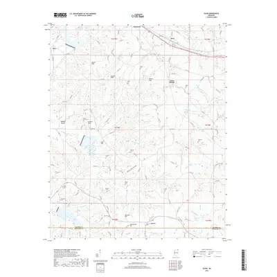 2018 Glens2018 Print · USGSAlcorn County and the Prentiss County line are documented in this recent survey, showing a landscape of high ridges and rural settlements. Genealogists can trace family burial sites like Kemp Chapel Cem and Jacinto Cem or explore the area around Searcy Town.
 - 2018 Map of Kendrick, 2018 Print
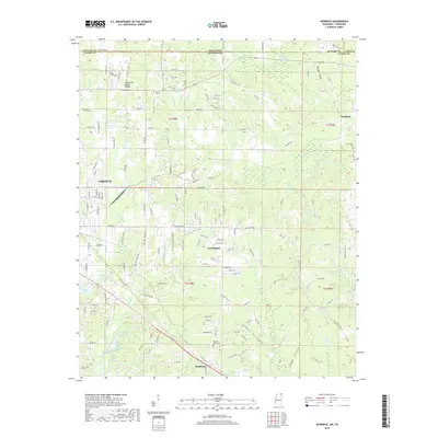 2018 Kendrick2018 Print · USGSAlcorn County near the Tennessee border shows the eastward growth of Corinth and the quiet reaches of Farmington in the late 2010s. Researchers can locate family burial sites like Wyly Cem and Marvin Cem or trace the Tennessee Valley Divide through the local hills.
 - 2021 Map of Glens, 2021 Print
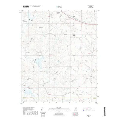 2021 Glens2021 Print · USGSNortheastern Mississippi hill country comes into focus in this modern topographic survey. Genealogists can trace family heritage through numerous rural landmarks like Boshers Graveyard, the historic settlement of Jacinto, and Stephens Family Cem.
 - 2021 Map of Kendrick, 2021 Print
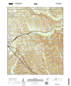 2021 Kendrick2021 Print · USGSCovers Glen, including Corinth, Farmington, and other nearby areas
 - 2024 Map of Glens, 2024 Print
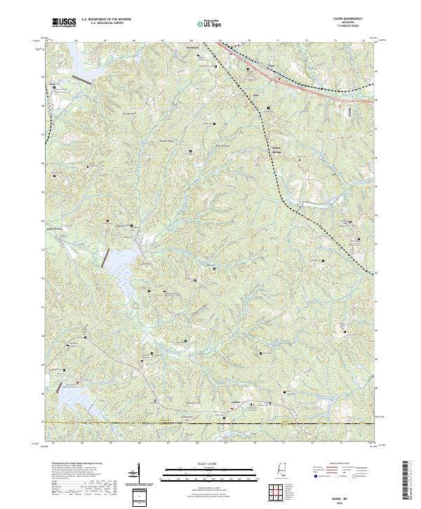 2024 Glens2024 Print · USGSThe rural landscape of Alcorn and Prentiss counties is documented here as a network of ridges and family-founded settlements. Genealogists can trace family roots through numerous burial sites like Boshers Graveyard, Jacinto, and Stephens Family Cem.
 - 2024 Map of Kendrick, 2024 Print
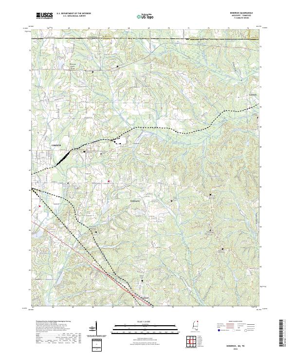 2024 Kendrick2024 Print · USGSAlcorn County, Mississippi, and McNairy County, Tennessee, meet in this modern landscape where the Tennessee Valley Divide defines the watershed. Researchers can trace historic local sites like Wiley Grove Church Cem African American, Kendrick, and the southern reaches of Shiloh National Battlefield.
End of results
Showing maps 1-20 of 20
Top cities near Glen
- Corinth historical maps
- Booneville historical maps
- Iuka historical maps
- Farmington historical maps
- Burnsville historical maps
- Michie historical maps
See more
Frequently asked questions
- What are the different types of historical maps available for Glen?
- What is the oldest map of Glen?
- Where can I purchase historical maps of Glen for my home or office?
- Where can I download high-res historical maps of Glen?
- Are there historical topographic maps available for Glen?
- Is there historical aerial imagery available for Glen?
- Where are historical maps of Glen sourced from?