
1936 Map of Kendrick
USGS Topo · Published 1936About this map
The Tennessee River Basin and the winding Divide between Alcorn County, Mississippi, and McNairy County, Tennessee, define this 1936 survey. The landscape is marked by a network of drainage systems, including Chambers Creek and Shoat Creek, which crisscross the hilly borderlands. Significant for genealogists, the map identifies several local landmarks such as Barnes Chapel, Fraley Chapel, and Jerusalem Ch, alongside early educational sites like Field Sch and Hopewell Sch.
Find a feature on this map
28 named features on this map. Tap any name to fly to it.
Don’t see what you’re looking for? This feature index may not catch every label — zoom into the map to look around manually.
Map Details
Editions of this 1936 Kendrick Map
This is the sole edition of this map. No revisions or reprints were ever made.
Other maps of this area

1935 · Doskie
USGS Topo · 1:24,000

1935 · Leedy
USGS Topo · 1:24,000

1935 · Glens
USGS Topo · 1:24,000

1936 · Counce
USGS Topo · 1:24,000

1936 · Michie
USGS Topo · 1:24,000
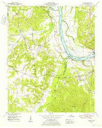
1949 · Counce
USGS Topo · 1:24,000

1949 · Michie
USGS Topo · 1:24,000

1950 · Corinth
USGS Topo · 1:62,500

1950 · Kendrick
USGS Topo · 1:24,000
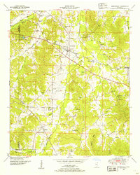
1950 · Burnsville
USGS Topo · 1:24,000