Loading...
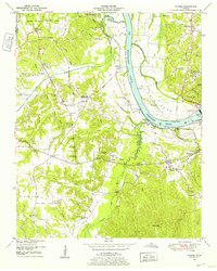
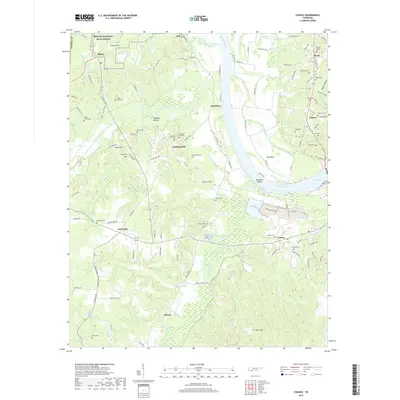
Loading map...1949 Map of Counce
USGS Topo · Published 1952About this map
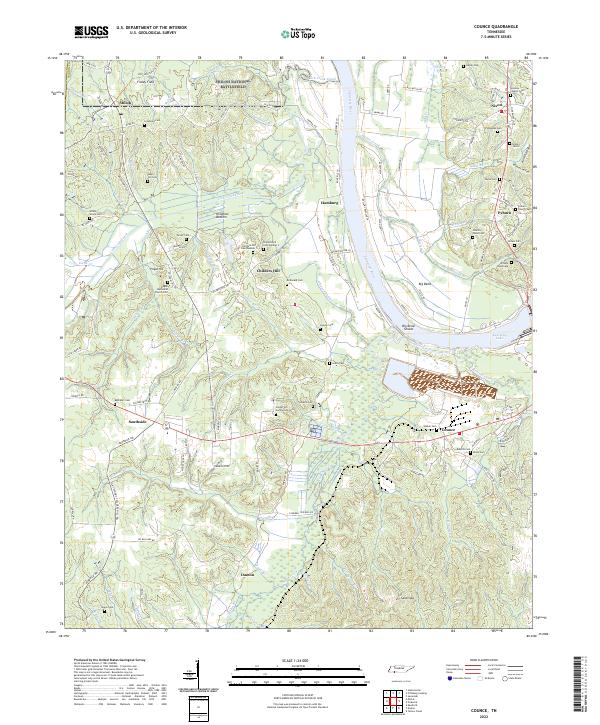
Kentucky Lake and the winding Tennessee River dominate this 1949 topographic landscape, highlighting the massive infrastructure of the Pickwick Landing Dam at the height of the TVA era. To the northwest, the boundary of Shiloh National Military Park preserves a historic footprint adjacent to Hamburg, while the river's eastern bank is defined by the sweeping Big Bend.
Find a feature on this map
70 named features on this map. Tap any name to fly to it.
Don’t see what you’re looking for? This feature index may not catch every label — zoom into the map to look around manually.
Map Details
Date Portrayed1949
Date Published1952
PublisherU.S. Geological Survey
Map TypeTopographic
Scale1:24,000
Physical Dimensions21.9 x 27.4 inches
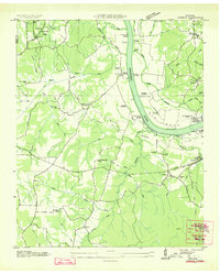
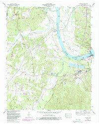
Editions of this 1949 Counce Map
This is the sole edition of this map. No revisions or reprints were ever made.
Historical Maps of Southside Through Time
8 maps found
Featured Locations
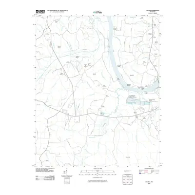
Source Details
SourceU.S. Geological Survey
CopyrightPublic Domain