Old Maps of Ellard, Mississippi for Genealogy
Trace your family roots with 11 historic maps of Ellard. These high-res maps reveal old neighborhoods, homesites, landmarks, and streets — helping you uncover where your ancestors lived and how the area evolved over time.
- Explore historic neighborhoods: Identify where your relatives may have lived in the 1800s or 1900s.
- Compare maps over time: Trace the changes in streets, buildings, and landmarks for multi-generational research.
- Perfect for genealogy & ancestry research: Used by family historians and researchers to map out lineage and migration.
These maps are an incredible resource for exploring your personal connection to Ellard's past.
Ellard, MS maps
(11)- 1956 Map of Tupelo, 1967 Print
 1956 Tupelo1967 Print · USGSNortheast Mississippi and parts of Tennessee and Alabama are shown here during the mid-fifties, a time of major reservoir construction and forestry management. Researchers can trace the St Louis-San Francisco RR through Tupelo or locate historic sites like Tishomingo State Park and the University.2 unique versions available
 - 1958 Map of Tupelo
 1958 Tupelo1958 Print · USGSNortheast Mississippi and neighboring Alabama and Tennessee appear here during the late fifties as a region defined by new reservoirs and historic rail lines. Genealogists can trace family locations near Sardis Lake, Woodall Mountain, and the St Louis-San Francisco Ry.
 - 1972 Map of Banner, 1974 Print
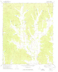 1972 Banner1974 Print · USGSCalhoun County in the early seventies shows a landscape of family-named lakes and rural crossroads churches. Genealogists can trace local roots through Rapers Chapel, Reasons Cem, and settlements like Banner or Ellard.
 - 1984 Map of Tupelo
 1984 Tupelo1984 Print · USGSNorth Mississippi in the 1980s is defined by its massive river basin reservoirs and the growing regional hubs of Tupelo and Oxford. Researchers can trace the legacy of the Pontotoc Ridge, find the University of Mississippi, and map early Interstate corridors near Sardis Lake.3 unique versions available
 - 1984 Map of Oxford, 1985 Print
 1984 Oxford1985 Print · USGSOxford and its surrounding hill country are captured in the mid-eighties as university life and rural industry intersected. Genealogists and historians can trace rail lines like the ST LOUIS-SAN FRANCISCO RY and locate old rural centers such as College Hill Sta and Lafayette Springs.
 - 1990 Map of Oxford, 1991 Print
 1990 Oxford1991 Print · USGSNorth Mississippi at the start of the nineties centers on the university town of Oxford and the large reservoirs of the Tallahatchie River valley. Researchers can trace the Illinois Central Gulf RR through towns like Water Valley and locate landmarks such as College Hill Sta.
 - 2012 Map of Banner, 2012 Print
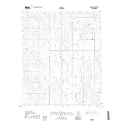
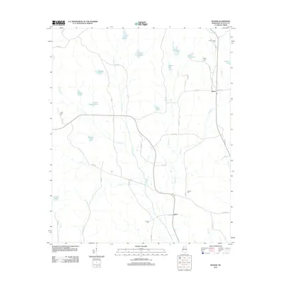 2012 Banner2012 Print · USGSCovers Ellard, including Banner, Calhoun County, and other nearby areas
 - 2015 Map of Banner, 2015 Print
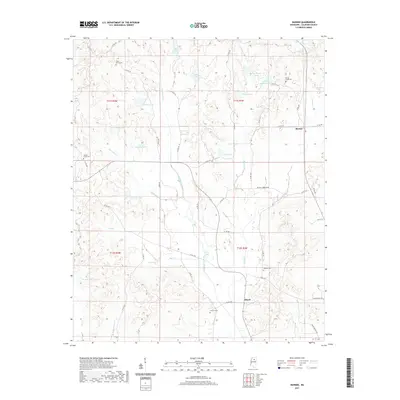
 2015 Banner2015 Print · USGSCovers Ellard, including Banner, Calhoun County, and other nearby areas
 - 2018 Map of Banner, 2018 Print
 2018 Banner2018 Print · USGSCovers Ellard, including Banner, Calhoun County, and other nearby areas
 - 2021 Map of Banner, 2021 Print
 2021 Banner2021 Print · USGSCovers Ellard, including Banner, Calhoun County, and other nearby areas
 - 2024 Map of Banner, 2024 Print
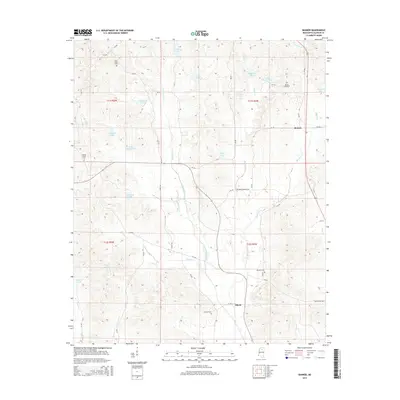
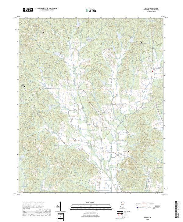 2024 Banner2024 Print · USGSCalhoun County's rural interior is documented here in the early twenty-first century, centered on the small crossroads of Banner. Genealogists and local historians can trace family locations near Union Grove Cem, Ellard, and Concord Cem.
End of results
Showing maps 1-11 of 11
Top cities near Ellard
- Water Valley historical maps
- Bruce historical maps
- Calhoun City historical maps
- Derma historical maps
- Toccopola historical maps
- Pittsboro historical maps
See more
Frequently asked questions
- What are the different types of historical maps available for Ellard?
- What is the oldest map of Ellard?
- Where can I purchase historical maps of Ellard for my home or office?
- Where can I download high-res historical maps of Ellard?
- Are there historical topographic maps available for Ellard?
- Is there historical aerial imagery available for Ellard?
- Where are historical maps of Ellard sourced from?