1900s (20th Century) Maps of Carrollton, Mississippi
Explore 10 historic maps of Carrollton from the 1900s (20th Century). These maps offer a rare glimpse into what life looked like during the 1900s — showing old roads, neighborhoods, homes, and landmarks that have changed or disappeared over time.
Whether you're researching your family's past, planning a metal detecting trip, or studying how Carrollton's landscape evolved across the 1900s, these high-resolution maps are a powerful tool for exploring the history of this region.
- Focus on a specific era: All maps on this page are from the 1900s, giving you a focused view of this time period.
- See what’s changed: Compare century-old streets, trails, and buildings to today's modern landscape using overlays and satellite layers.
- Research with precision: Use these maps for genealogy, historical research, land use analysis, or educational projects.
- View, download, or print: Maps are fully viewable online in high resolution, and can be downloaded or printed for your own records.
Start exploring Carrollton's history through authentic maps from the 1900s. This is your window into the past.
Carrollton, MS maps
(10)- 1953 Map of West Point, 1973 Print
 1953 West Point1973 Print · USGSNorth-Central Mississippi and the Alabama borderlands are captured here during the mid-twentieth century as new reservoirs and national forests transformed the landscape. Researchers can trace the path of the Mississippi & Skuna Valley railroad or locate old landings along the Tombigbee River and Schooner Creek.3 unique versions available
 - 1954 Map of McCarley
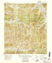 1954 McCarley1954 Print · USGSCarroll County and the surrounding hill country are captured here in the mid-fifties, showing a dense network of rural churches and family cemeteries. Researchers can trace the Illinois Central rail line through Glenwild or locate sites like Camp McCain and Pink Flower Ch & Cem.
 - 1958 Map of West Point
 1958 West Point1958 Print · USGSNortheastern Mississippi and western Alabama are shown in the late 1950s, highlighting a region defined by its river-and-rail economy. Researchers can trace family roots through numerous settlements like Artesia and Vardaman or explore the corridor of the Tombigbee River.
 - 1963 Map of West Point
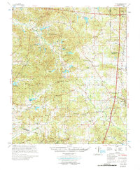
 1963 West Point1963 Print · USGSEastern Mississippi and western Alabama are captured in the early sixties as industrial centers and rail lines connected the Black Prairie to the hills. Genealogists and historians can trace family-named watercourses and the early footprints of Starkville, Columbus, and the Noxubee National Wildlife Refuge.2 unique versions available
 - 1975 Map of Coila, 1978 Print
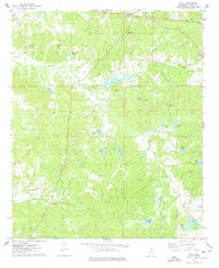 1975 Coila1978 Print · USGSCarroll County in the mid-seventies is a landscape of winding creeks and scattered hill country settlements. Genealogists and historians can trace the locations of Enon Ch, Stansberry Cem, and the small community of Coila as they appeared during this era.2 unique versions available
 - 1978 Map of Coila
 1978 Coila1978 Print · USGSCentral Mississippi in the late seventies is shown here as a landscape of crossroads communities and historic treaty boundaries. Researchers can trace family roots through numerous rural landmarks like Hopewell Cem, St Johns Chapel, and the small settlement of Coila.
 - 1983 Map of North Carrollton
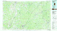
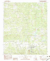 1983 North Carrollton1983 Print · USGSCarroll County in the early eighties shows the historic twin settlements of North Carrollton and Carrollton during a period of steady rural character. Researchers can locate numerous country congregations and burial grounds like Monday Cem Ch and Fox Cem along the Columbus and Greenville corridor.
 - 1984 Map of Kosciusko
 1984 Kosciusko1984 Print · USGSCentral Mississippi in the mid-eighties shows a landscape of timberlands and rural crossroads anchored by Kosciusko. Genealogists can trace family roots through numerous country parishes like Bethany Ch and Zion Ch or the path of the Illinois Central Gulf railroad.3 unique versions available
 - 1984 Map of West Point
 1984 West Point1984 Print · USGSNorth-Central Mississippi in the mid-eighties shows a landscape defined by massive water management projects and dense timberlands. Researchers can trace the legacy of rural settlements like Geeslin Corner or the rail corridors of the Illinois Central Gulf RR near Grenada Lake.3 unique versions available
 - 1984 Map of Grenada, 1990 Print
 1984 Grenada1990 Print · USGSNorth Central Mississippi’s river valleys and conservation lands are captured here in the mid-1980s. Researchers can trace the sprawling Camp Mc Cain, the Illinois Central Gulf rail line, and the historic Treaty Boundary.
End of results
Showing maps 1-10 of 10
Top cities near Carrollton
- Greenwood historical maps
- Grenada historical maps
- Winona historical maps
- Duck Hill historical maps
- Vaiden historical maps
- North Carrollton historical maps
Frequently asked questions
- What are the different types of historical maps available for Carrollton?
- What is the oldest map of Carrollton?
- Where can I purchase historical maps of Carrollton for my home or office?
- Where can I download high-res historical maps of Carrollton?
- Are there historical topographic maps available for Carrollton?
- Is there historical aerial imagery available for Carrollton?
- Where are historical maps of Carrollton sourced from?