2000s (21st Century) Maps of Ackerman, Mississippi
Explore 6 historic maps of Ackerman from the 2000s (21st Century). These maps offer a rare glimpse into what life looked like during the 2000s — showing old roads, neighborhoods, homes, and landmarks that have changed or disappeared over time.
Whether you're researching your family's past, planning a metal detecting trip, or studying how Ackerman's landscape evolved across the 2000s, these high-resolution maps are a powerful tool for exploring the history of this region.
- Focus on a specific era: All maps on this page are from the 2000s, giving you a focused view of this time period.
- See what’s changed: Compare century-old streets, trails, and buildings to today's modern landscape using overlays and satellite layers.
- Research with precision: Use these maps for genealogy, historical research, land use analysis, or educational projects.
- View, download, or print: Maps are fully viewable online in high resolution, and can be downloaded or printed for your own records.
Start exploring Ackerman's history through authentic maps from the 2000s. This is your window into the past.
Ackerman, MS maps
(6)- 2000 Map of Ackerman, 2002 Print
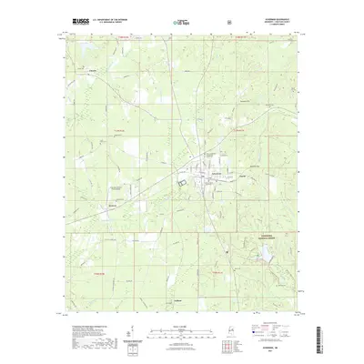
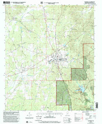 2000 Ackerman2002 Print · USGSChoctaw County at the turn of the millennium shows a landscape defined by the intersection of timber, industry, and rural community life. Researchers can locate family landmarks like Old Lebanon Ch, trace the banks of Choctaw Lake, or find old rail stops at Fentress.
 - 2012 Map of Ackerman, 2012 Print
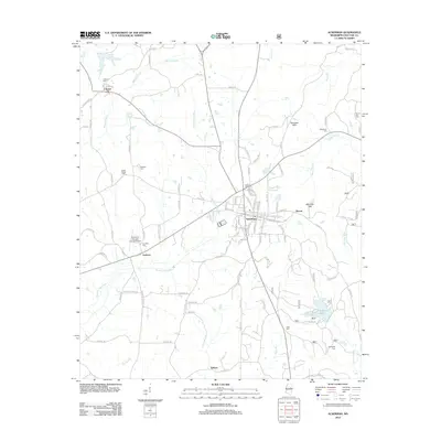 2012 Ackerman2012 Print · USGSCovers Ackerman, including Chester, Fentress, and other nearby areas
 - 2015 Map of Ackerman, 2015 Print
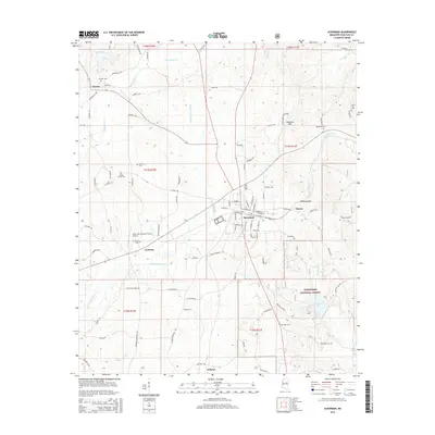 2015 Ackerman2015 Print · USGSCovers Ackerman, including Chester, Fentress, and other nearby areas
 - 2018 Map of Ackerman, 2018 Print
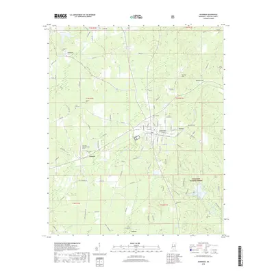 2018 Ackerman2018 Print · USGSCovers Ackerman, including Chester, Fentress, and other nearby areas
 - 2021 Map of Ackerman, 2021 Print
 2021 Ackerman2021 Print · USGSCovers Ackerman, including Chester, Fentress, and other nearby areas
 - 2024 Map of Ackerman, 2024 Print
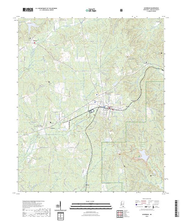 2024 Ackerman2024 Print · USGSMississippi's red clay hills and the Choctaw County seat come alive in this recent survey. You can trace family roots at Old Lebanon Cem or South Union Cem and explore the sprawling Tombigbee National Forest and Blantons Gap.
End of results
Showing maps 1-6 of 6
Top cities near Ackerman
- Louisville historical maps
- Eupora historical maps
- Weir historical maps
- French Camp historical maps
- McCool historical maps
- Sturgis historical maps
Frequently asked questions
- What are the different types of historical maps available for Ackerman?
- What is the oldest map of Ackerman?
- Where can I purchase historical maps of Ackerman for my home or office?
- Where can I download high-res historical maps of Ackerman?
- Are there historical topographic maps available for Ackerman?
- Is there historical aerial imagery available for Ackerman?
- Where are historical maps of Ackerman sourced from?