Loading...
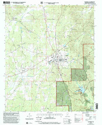
Loading map...2000 Map of Ackerman
USGS Topo · Published 2002About this map
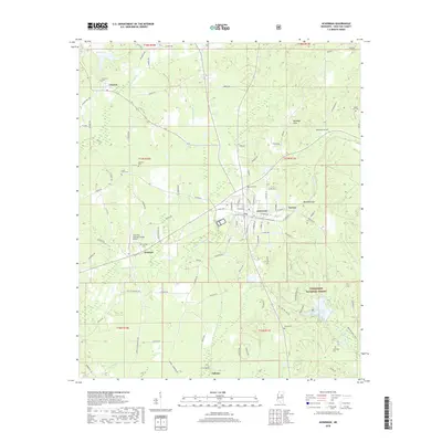
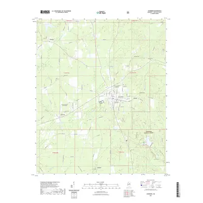
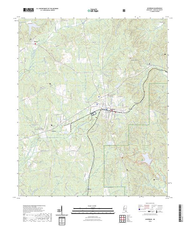
The Ackerman rail and road junction serves as the commercial heart of Choctaw County at the start of the 21st century. This survey reveals a landscape where the dense timber of the Tombigbee National Forest meets active agrarian and industrial sites, including numerous Sandpits scattered across the terrain. Public recreational spaces are centered around the Choctaw Lake and the nearby Choctaw Work Center.
Find a feature on this map
38 named features on this map. Tap any name to fly to it.
Don’t see what you’re looking for? This feature index may not catch every label — zoom into the map to look around manually.
Map Details
Date Portrayed2000
Date Published2002
PublisherU.S. Geological Survey
Map TypeTopographic
Scale1:24,000
Physical Dimensions22 x 26.8 inches
Editions of this 2000 Ackerman Map
This is the sole edition of this map. No revisions or reprints were ever made.
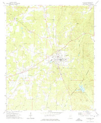
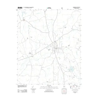
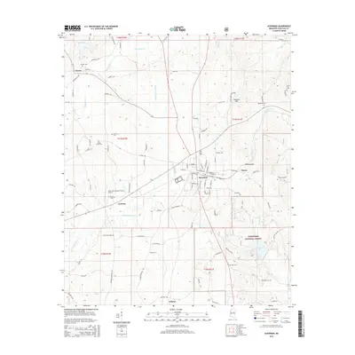
Historical Maps of Ackerman Through Time
7 maps found
Featured Locations
Source Details
SourceU.S. Geological Survey
CopyrightPublic Domain